 Old Cumbria Gazetteer
 |
 |
|
| battle site, Penrith | ||
| locality:- | Penrith (?) | |
| civil parish:- | Penrith (formerly Cumberland) | |
| county:- | Cumbria | |
| locality type:- | battle site | |
| 1Km square:- | NY5130 (??) | |
| 10Km square:- | NY53 | |
| references:- | Jansson 1646 |
|
|
|
||
| evidence:- | old map:- Speed 1611 (Cmd) |
|
| source data:- | Map, hand coloured engraving, Cumberland and the Ancient Citie
Carlile Described, scale about 4 miles to 1 inch, by John Speed,
1610, published by J Sudbury and George Humble, Popes Head
Alley, London, 1611-12.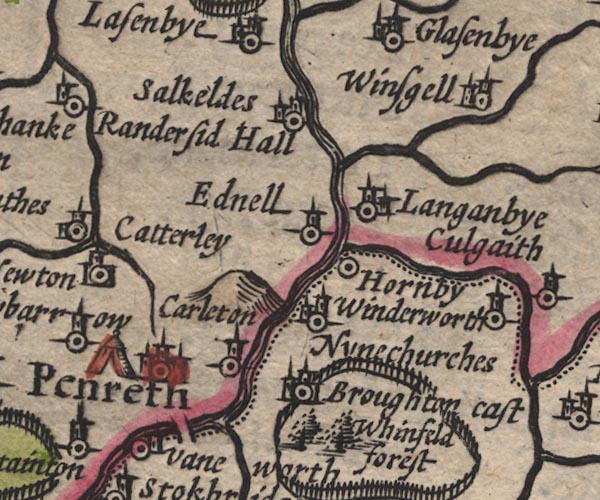 SP11NY53.jpg tent, W side of Penrith item:- private collection : 16 Image © see bottom of page |
|
|
|
||
| evidence:- | possibly old map:- Speed 1611 (Cum/edn 1676) placename:- Penreth |
|
| source data:- | Map, uncoloured engraving, Wight Island, by William White edited
by John Speed, published by Thomas Bassett, The George, Fleet
Street, and Richard Chiswell, The Rose and Crown, St Paul's
Churchyard, London, 1676.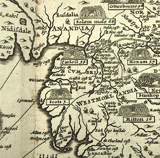 click to enlarge click to enlargeSP25Cm.jpg Map, uncoloured engraving, The Invasions of England and Ireland, scale roughly 28 miles to 1 inch, by John Speed? published by Thomas Bassett, The George, Fleet Street, and Richard Chiswell, The Rose and Crown, St Paul's Churchyard, London, 1676. printed at pp.6-8:- "... / (34) Carleil, Penreth, and many Towns esle burnt by the Scots under Wil. Dowglas, yet lastly are overcome by the manhood and policy of Tho. Lucy, Rob. Ogle, and the Bishop of that See. An. reg. E. 3. 19. 1345. / ..." item:- Armitt Library : A6632.8 Image © see bottom of page |
|
|
|
||
| evidence:- | old map:- Jansson 1646 placename:- Penreth |
|
| source data:- | Map, hand coloured engraving, Cumbria and Westmoria, ie
Cumberland and Westmorland, scale about 3.5 miles to 1 inch, by
John Jansson, Amsterdam, Netherlands, 1646.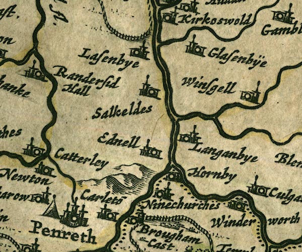 JAN3NY53.jpg "Penreth" Tent symbol. item:- JandMN : 88 Image © see bottom of page |
|
|
|
||
 Lakes Guides menu.