 Old Cumbria Gazetteer
 |
 |
|
| Anchor Basin, Barrow Docks | ||
| Anchor Basin | ||
| site name:- | Barrow Docks | |
| locality:- | Barrow Island | |
| locality:- | Barrow-in-Furness | |
| civil parish:- | Barrow-in-Furness (formerly Lancashire) | |
| county:- | Cumbria | |
| locality type:- | dock | |
| coordinates:- | SD20176755 (etc) | |
| 1Km square:- | SD2067 | |
| 10Km square:- | SD26 | |
|
|
||
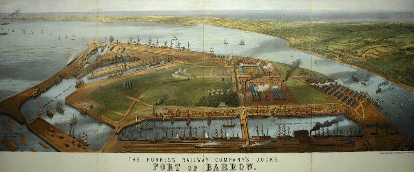 click to enlarge click to enlargeBPS81.jpg Aerial view. "THE FURNESS RAILWAY COMPANY'S DOCKS. / PORT OF BARROW." courtesy the Dock Museum |
||
|
|
||
| evidence:- | old map:- OS County Series (Lan 21 16) placename:- Anchor Basin |
|
| source data:- | Maps, County Series maps of Great Britain, scales 6 and 25
inches to 1 mile, published by the Ordnance Survey, Southampton,
Hampshire, from about 1863 to 1948. |
|
|
|
||
| evidence:- | old text:- Admiralty 1933 placename:- Anchor Line Basin |
|
| source data:- |  goto source goto sourcePage 381:- "... Anchor Line basin, at the western end of Ramsden dock, has depths of 24 feet (7m3)." |
|
|
|
||
Lakes Guides menu.