 Old Cumbria Gazetteer
 |
 |
|
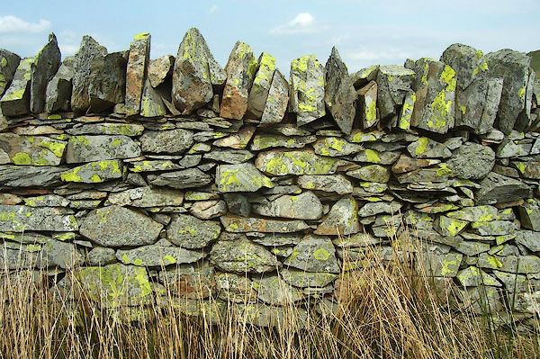
| stone wall, Crookdale | ||
| locality:- | Crookdale | |
| civil parish:- | Shap Rural (formerly Westmorland) | |
| county:- | Cumbria | |
| locality type:- | stone wall | |
| coordinates:- | NY53470657 | |
| 1Km square:- | NY5306 | |
| 10Km square:- | NY50 | |
| amateur | ||
| stratigraphy:- | limestone? | |
| stratigraphy:- | Silurian; Wenlock? | |
|
|
||
 BPF71.jpg (taken 24.5.2008) 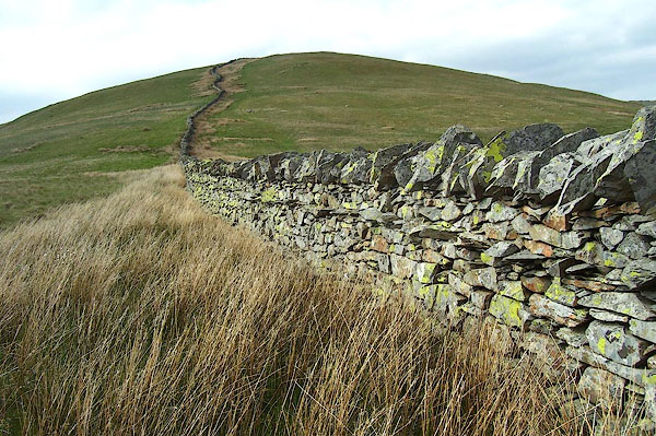 BPF72.jpg (taken 24.5.2008) |
||
|
|
||
 Lakes Guides menu.