 Old Cumbria Gazetteer
 |
 |
|
| Sticks Gill | ||
| runs into:- |  reservoir, Patterdale reservoir, Patterdale |
|
|
|
||
| civil parish:- | Patterdale (formerly Westmorland) | |
| county:- | Cumbria | |
| locality type:- | river | |
| 1Km square:- | NY3518 (etc) | |
| 10Km square:- | NY31 | |
|
|
||
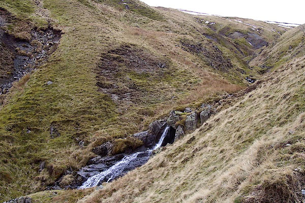 BOV30.jpg (taken 17.3.2008) |
||
|
|
||
| evidence:- | probably old map:- OS County Series (Wmd 12 5) placename:- Free Mossdale Burn |
|
| source data:- | Maps, County Series maps of Great Britain, scales 6 and 25
inches to 1 mile, published by the Ordnance Survey, Southampton,
Hampshire, from about 1863 to 1948. |
|
|
|
||
Lakes Guides menu.