 Old Cumbria Gazetteer
 |
 |
|
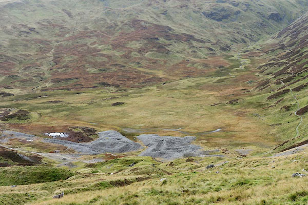
| reservoir, Patterdale | ||
| runs into:- |  Swart Beck (?) Swart Beck (?) |
|
|
|
||
| Sticks Tarn | ||
| Top Dam | ||
| locality:- | Greenside Lead Mine | |
| civil parish:- | Patterdale (formerly Westmorland) | |
| county:- | Cumbria | |
| locality type:- | reservoir (site) | |
| coordinates:- | NY35671819 (etc) | |
| 1Km square:- | NY3518 | |
| 10Km square:- | NY31 | |
| altitude:- | 1799 feet | |
| altitude:- | 548m | |
|
|
||
 CEE08.jpg (taken 20.10.2015) |
||
|
|
||
| evidence:- | old map:- OS County Series (Wmd 12 5) |
|
| source data:- | Maps, County Series maps of Great Britain, scales 6 and 25
inches to 1 mile, published by the Ordnance Survey, Southampton,
Hampshire, from about 1863 to 1948. "Reservoir" |
|
|
|
||
Lakes Guides menu.