 Old Cumbria Gazetteer
 |
 |
|
| Wray Crag, Claife | ||
| Wray Crag | ||
| site name:- | Calf Parrock Coppice | |
| locality:- | Low Wray | |
| civil parish:- | Claife (formerly Lancashire) | |
| county:- | Cumbria | |
| locality type:- | rocks | |
| coordinates:- | NY37650143 | |
| 1Km square:- | NY3701 | |
| 10Km square:- | NY30 | |
|
|
||
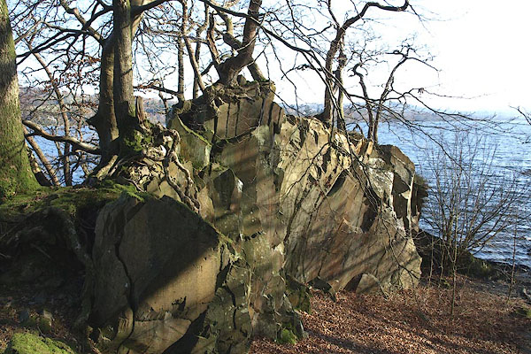 BOR35.jpg (taken 15.2.2008) 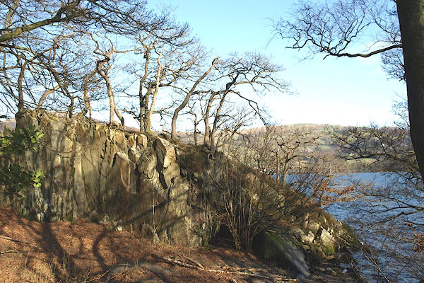 BOR34.jpg (taken 15.2.2008) |
||
|
|
||
| evidence:- | old map:- OS County Series (Lan 2 11) placename:- Wray Crag |
|
| source data:- | Maps, County Series maps of Great Britain, scales 6 and 25
inches to 1 mile, published by the Ordnance Survey, Southampton,
Hampshire, from about 1863 to 1948. OS County Series (Wmd 26 14) |
|
|
|
||
 Lakes Guides menu.