 Old Cumbria Gazetteer
 |
 |
|
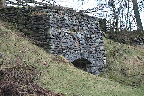
| limekiln, Mungrisdale | ||
| locality:- | Mungrisdale | |
| civil parish:- | Mungrisdale (formerly Cumberland) | |
| county:- | Cumbria | |
| locality type:- | limekiln | |
| coordinates:- | NY36393027 | |
| 1Km square:- | NY3630 | |
| 10Km square:- | NY33 | |
|
|
||
 BOP06.jpg (taken 6.2.2008) 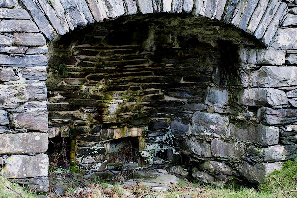 BOP07.jpg (taken 6.2.2008) |
||
|
|
||
| evidence:- | old map:- OS County Series (Cmd 57 2) |
|
| source data:- | Maps, County Series maps of Great Britain, scales 6 and 25
inches to 1 mile, published by the Ordnance Survey, Southampton,
Hampshire, from about 1863 to 1948. "Old Limekiln" |
|
|
|
||
| notes:- |
Late 18th century kiln used part time, when there was a local need for the product. |
|
| Hopkins, Tony &Corbett, Val: 2008 (?): Lime Kilns in the Lake District: Lake Distrist
National Park Authority (Kendal, Cumbria) |
||
|
|
||
 Lakes Guides menu.