 Old Cumbria Gazetteer
 |
 |
|
| railway viaduct, Rockcliffe | ||
| Esk Viaduct | ||
| site name:- | Caledonian Railway | |
| site name:- | Esk, River | |
| civil parish:- | Rockcliffe (formerly Cumberland) | |
| civil parish:- | Kirkandrews (formerly Cumberland) | |
| county:- | Cumbria | |
| locality type:- | railway viaduct | |
| locality type:- | viaduct | |
| coordinates:- | NY35176467 | |
| coordinates:- | NY35046485 (?) | |
| 1Km square:- | NY3564 | |
| 10Km square:- | NY36 | |
|
|
||
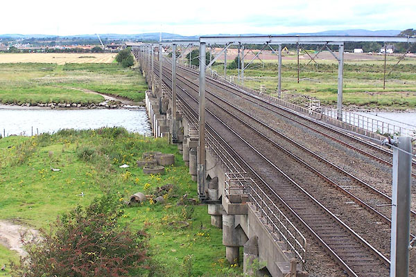 BOA92.jpg (taken 31.8.2007) 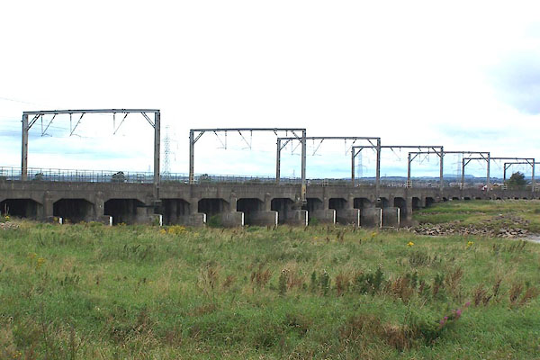 BOA91.jpg (taken 31.8.2007) |
||
|
|
||
| evidence:- | old map:- OS County Series (Cmd 10 13) |
|
| source data:- | Maps, County Series maps of Great Britain, scales 6 and 25
inches to 1 mile, published by the Ordnance Survey, Southampton,
Hampshire, from about 1863 to 1948. click to enlarge click to enlargeCSRY0029.jpg "Viaduct" |
|
|
|
||
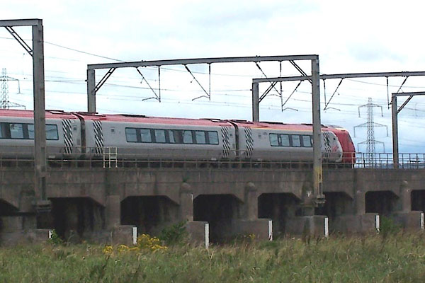 BOA93.jpg (taken 31.8.2007) |
||
|
|
||
 Lakes Guides menu.