 Old Cumbria Gazetteer
 |
 |
|
| Broadwath Gates, Broadwath | ||
| Broadwath Gates | ||
| site name:- | Newcastle and Carlisle Railway | |
| locality:- | Broadwath | |
| civil parish:- | Wetheral (formerly Cumberland) | |
| county:- | Cumbria | |
| locality type:- | level crossing | |
| coordinates:- | NY48495489 | |
| 1Km square:- | NY4854 | |
| 10Km square:- | NY45 | |
|
|
||
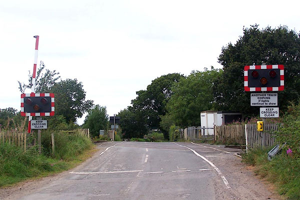 BOD39.jpg (taken 7.9.2007) 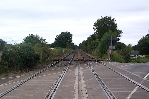 BOD40.jpg View W. (taken 7.9.2007) |
||
| The crossing is labelled:- |
||
| "BROADWATH / NEC 54m 62c / Corby Hill to Cairnbridge Rd / NY485549" |
||
|
|
||
| evidence:- | old map:- OS County Series (Cmd 24 7) placename:- Broadwath Gates |
|
| source data:- | Maps, County Series maps of Great Britain, scales 6 and 25
inches to 1 mile, published by the Ordnance Survey, Southampton,
Hampshire, from about 1863 to 1948. "Broadwath Gates" level crossing |
|
|
|
||
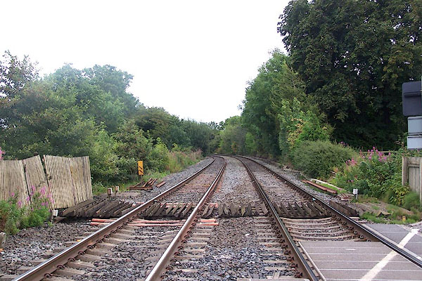 BOD41.jpg View E. (taken 7.9.2007) |
||
|
|
||
 Lakes Guides menu.