 Old Cumbria Gazetteer
 |
 |
|
| Castle, Penrith | ||
| locality:- | Penrith | |
| civil parish:- | Penrith (formerly Cumberland) | |
| county:- | Cumbria | |
| locality type:- | inn | |
| coordinates:- | NY51133008 | |
| 1Km square:- | NY5130 | |
| 10Km square:- | NY53 | |
|
|
||
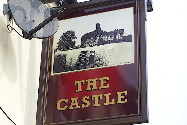 BNX24.jpg Penrith Castle, looks like designer art rather than signpainting? (taken 3.8.2008) 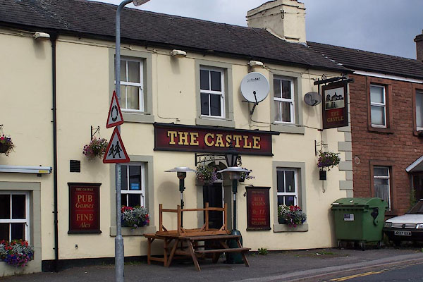 BNX25.jpg (taken 3.8.2007) |
||
|
|
||
| evidence:- | old map:- OS County Series (Cmd 58 4) placename:- Castle Inn |
|
| source data:- | Maps, County Series maps of Great Britain, scales 6 and 25
inches to 1 mile, published by the Ordnance Survey, Southampton,
Hampshire, from about 1863 to 1948. |
|
|
|
||
 Lakes Guides menu.