 Old Cumbria Gazetteer
 |
 |
|
| trig point, SD1120598317 | ||
| site name:- | Muncaster Fell | |
| site name:- | Hooker Crag | |
| civil parish:- | Muncaster (formerly Cumberland) | |
| county:- | Cumbria | |
| locality type:- | trig point (pillar) | |
| coordinates:- | SD1120598317 | |
| 1Km square:- | SD1198 | |
| 10Km square:- | SD19 | |
| altitude:- | 759 feet | |
| altitude:- | 231.3m | |
| references:- | OS website |
|
|
|
||
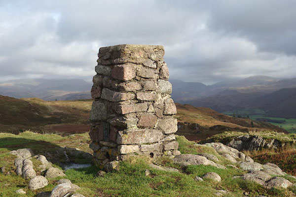 CGU70.jpg (taken 25.10.2017) 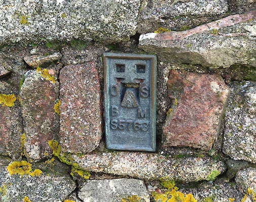 CGU71.jpg Bench mark. (taken 25.10.2017) |
||
|
|
||
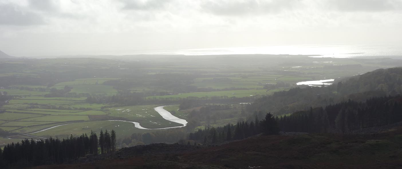 Click to enlarge CGU72.jpg View of the River Esk etc. (taken 25.10.2017) |
||
|
|
||
 Lakes Guides menu.