 Old Cumbria Gazetteer
 |
 |
|
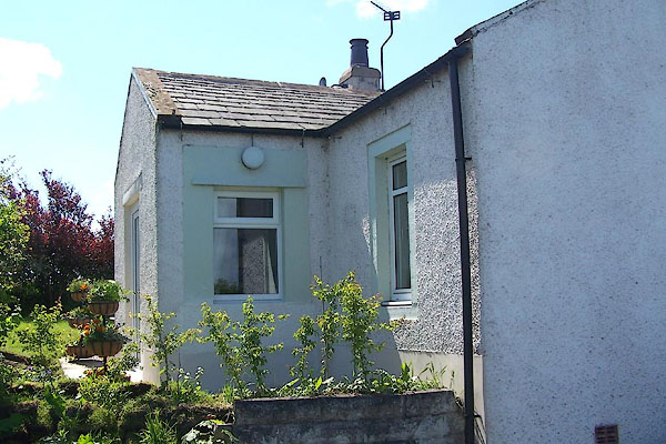
| Tollbar Cottage, Bridekirk | ||
| Tollbar Cottage | ||
| Woodside Turn Pike | ||
| site name:- | road, Cockermouth to Maryport | |
| civil parish:- | Bridekirk (formerly Cumberland) | |
| county:- | Cumbria | |
| locality type:- | toll gate (site) | |
| locality type:- | buildings | |
| locality type:- | toll house (ex) | |
| coordinates:- | NY08943430 | |
| 1Km square:- | NY0834 | |
| 10Km square:- | NY03 | |
|
|
||
 BNR93.jpg (taken 25.5.2007) |
||
|
|
||
| evidence:- | old map:- OS County Series (Cmd 45 11) placename:- Woodside TP |
|
| source data:- | Maps, County Series maps of Great Britain, scales 6 and 25
inches to 1 mile, published by the Ordnance Survey, Southampton,
Hampshire, from about 1863 to 1948. "Woodside T.P" at a fork; gates on each branch, a building in the middle of the fork |
|
|
|
||
 Lakes Guides menu.