 Old Cumbria Gazetteer
 |
 |
|
| included in:- |
 track, Sadgill to Gatescarth track, Sadgill to Gatescarth |
|
| track, Gatescarth to Wrengill: walk 3, 8.10.2006 | ||
| Gatescarth to Wrengill | ||
| civil parish:- | Longsleddale (formerly Westmorland) | |
| county:- | Cumbria | |
| locality type:- | track route | |
| coordinates:- | NY47680891 (etc) | |
| 1Km square:- | NY4807 | |
| 10Km square:- | NY40 | |
|
|
||
| MN photo:- |
Walk down Longsleddale, from the parish boundary in Gatescarth Pass to Wrengill, 8
October 2006. |
|
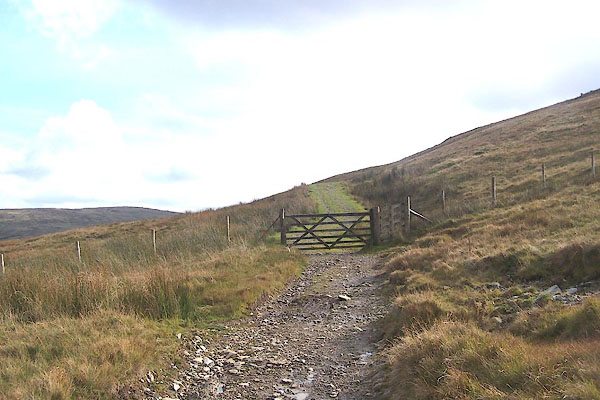 BMU36.jpg The fence marks the parish boundary. (taken 8.10.2006) 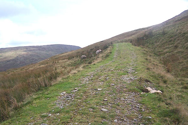 BMU37.jpg Up a little, gently. (taken 8.10.2006) 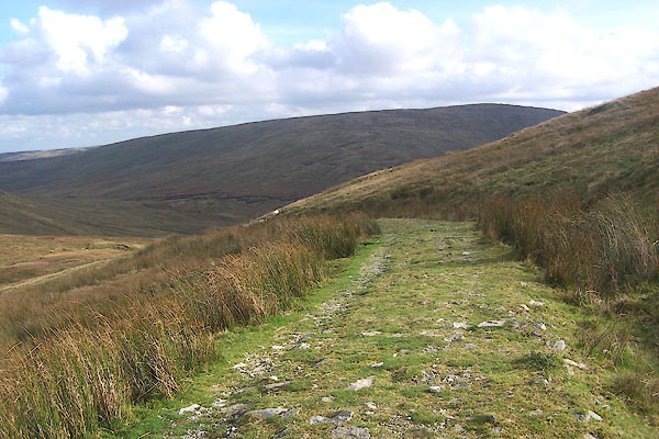 BMU38.jpg Just over the highest point, 1925 feet. In the distance is Tarn Crag. (taken 8.10.2006) 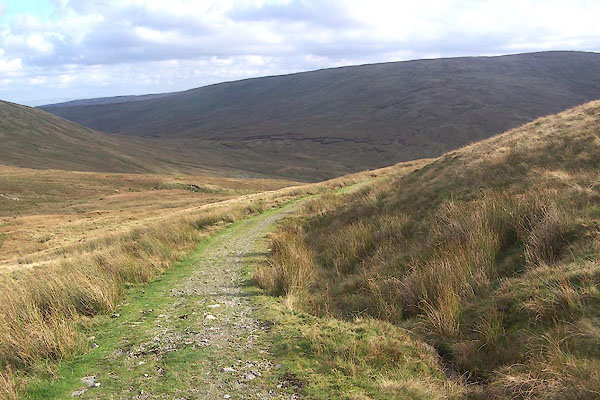 BMU39.jpg (taken 8.10.2006) 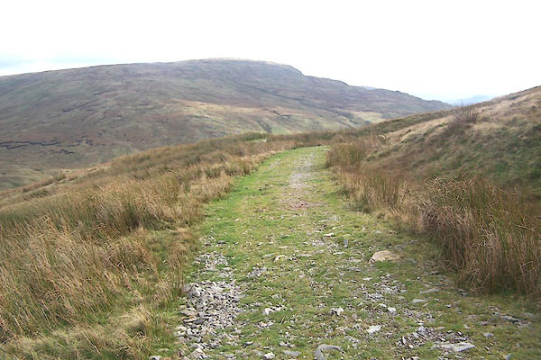 BMU40.jpg (taken 8.10.2006) 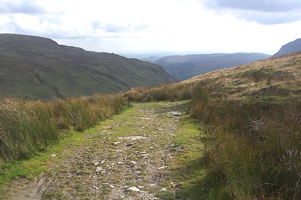 BMU41.jpg (taken 8.10.2006) 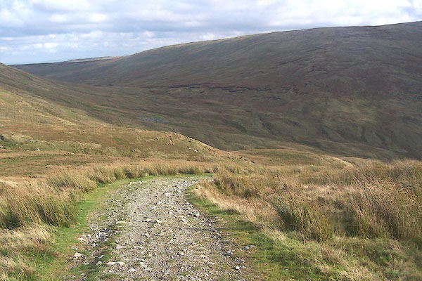 BMU42.jpg (taken 8.10.2006) 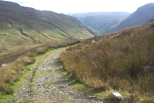 BMU43.jpg (taken 8.10.2006) 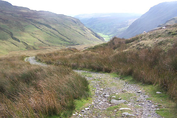 BMU44.jpg Glimpses of Longsleddale from here on. (taken 8.10.2006) 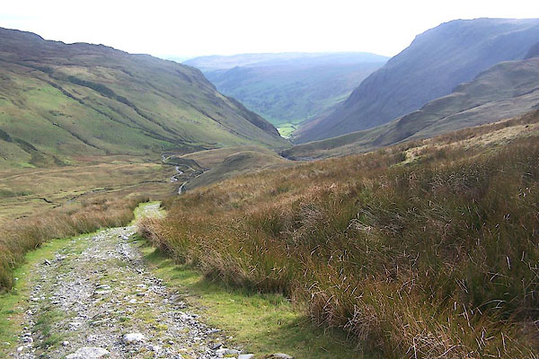 BMU45.jpg (taken 8.10.2006) 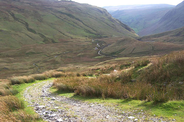 BMU46.jpg Brownhowe Botton on the left of the track. (taken 8.10.2006) 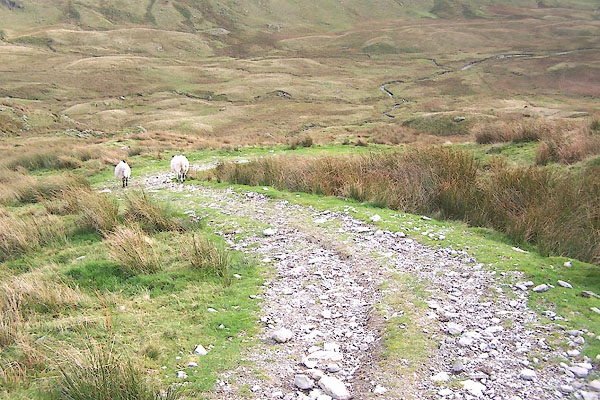 BMU47.jpg (taken 8.10.2006) 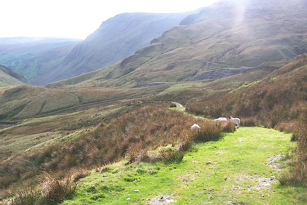 BMU48.jpg Goat Scar in the distance. Now descending quickly. (taken 8.10.2006) 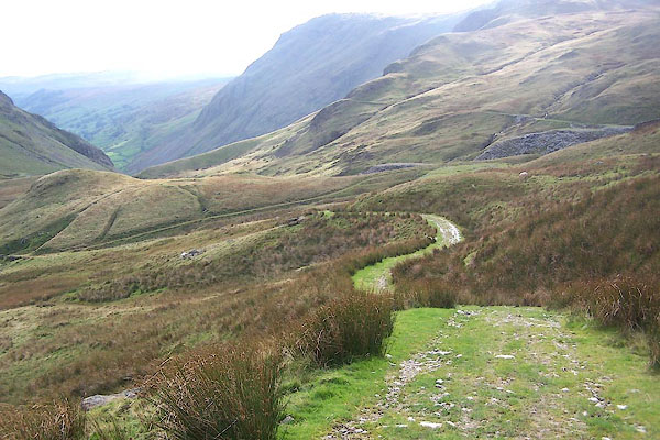 BMU49.jpg (taken 8.10.2006) 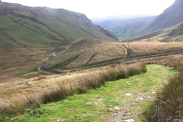 BMU50.jpg (taken 8.10.2006) 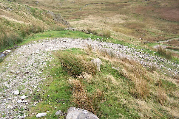 BMU51.jpg Steep zigzags down the shoulder of Adam Seat, to Wrengill. (taken 8.10.2006) 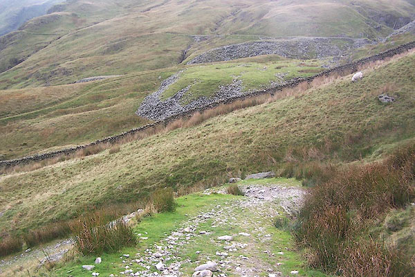 BMU52.jpg (taken 8.10.2006) 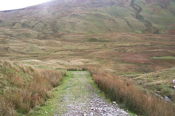 BMU53.jpg (taken 8.10.2006) 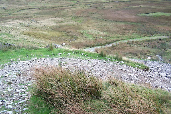 BMU54.jpg More zigzags. (taken 8.10.2006) 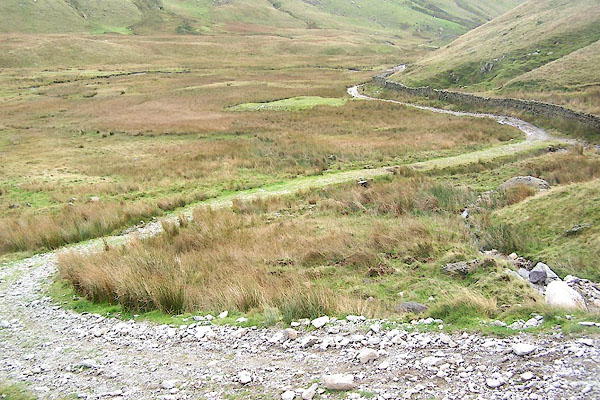 BMU55.jpg (taken 8.10.2006) 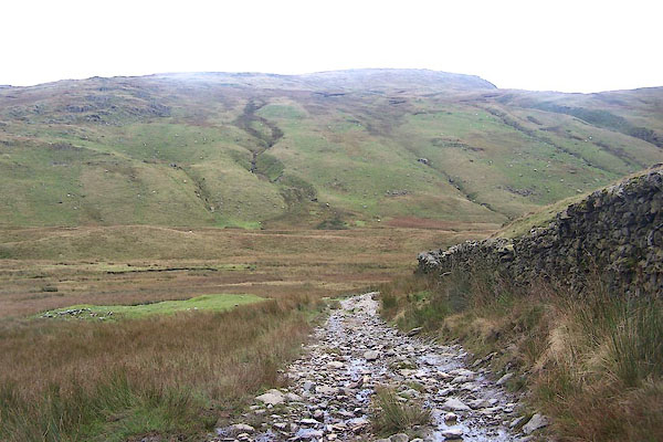 BMU56.jpg Levelling out at Brownhowe Bottom. (taken 8.10.2006) 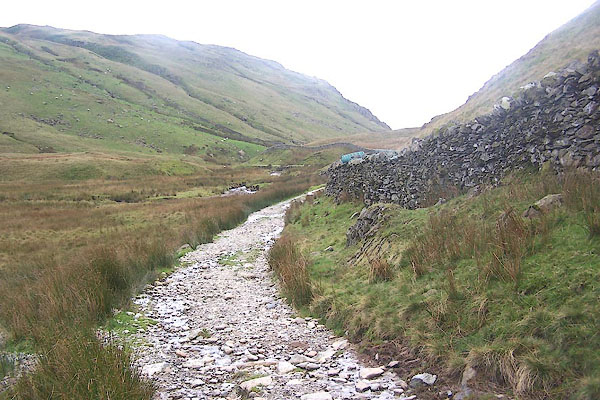 BMU57.jpg (taken 8.10.2006) 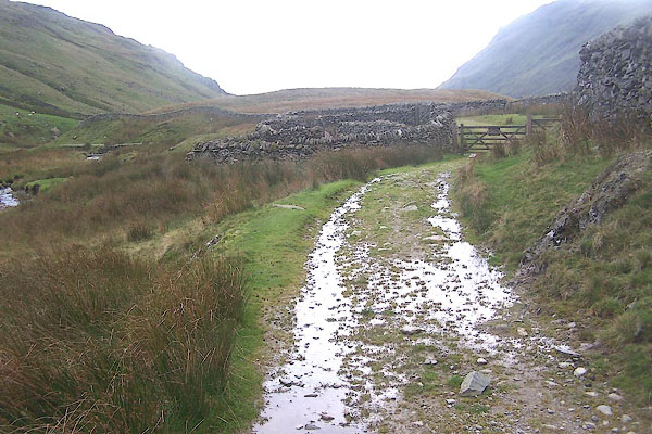 BMU58.jpg (taken 8.10.2006) 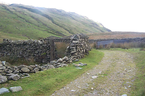 BMU59.jpg Sheepfold. (taken 8.10.2006) 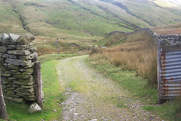 BMU60.jpg (taken 8.10.2006) 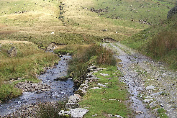 BMU61.jpg The beck from Brownhowe Bottom, headwater of the Sprint. (taken 8.10.2006) 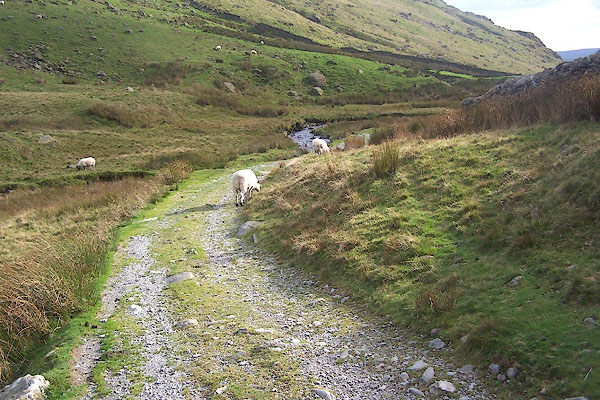 BMU62.jpg (taken 8.10.2006) 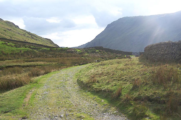 BMU63.jpg (taken 8.10.2006) |
||
|
|
||
Lakes Guides menu.