 Old Cumbria Gazetteer
 |
 |
|
| included in:- |
 track, Sadgill to Gatescarth track, Sadgill to Gatescarth |
|
| track, Wrengill to Gatescarth: walk 2, 8.10.2006 | ||
| Wrengill to Gatescarth | ||
| civil parish:- | Longsleddale (formerly Westmorland) | |
| county:- | Cumbria | |
| locality type:- | track route | |
| coordinates:- | NY47680891 (etc) | |
| 1Km square:- | NY4807 | |
| 10Km square:- | NY40 | |
|
|
||
| MN photo:- |
Walk up Longsleddale, from Wrengill to the parish boundary in Gatescarth Pass, 8 October
2006. |
|
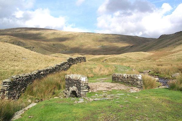 BMT98.jpg Brownhowe Bottom and its stream. (taken 8.10.2006) 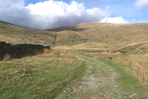 BMT99.jpg Branstree ahead, to the right of the track. (taken 8.10.2006) 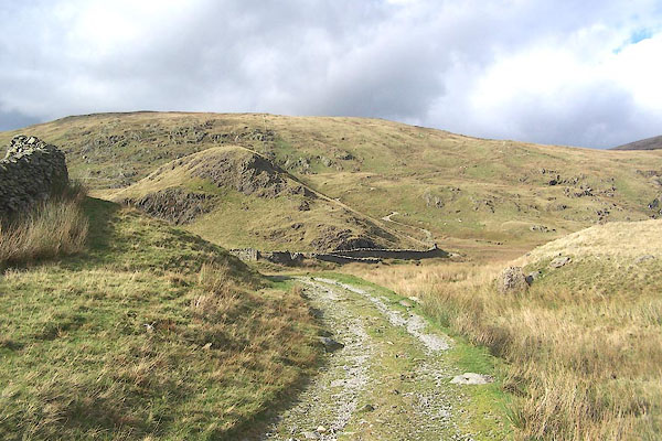 BMU01.jpg Adam Seat left of the track, which can be seen climbing the shoulder right of the knoll. (taken 8.10.2006) 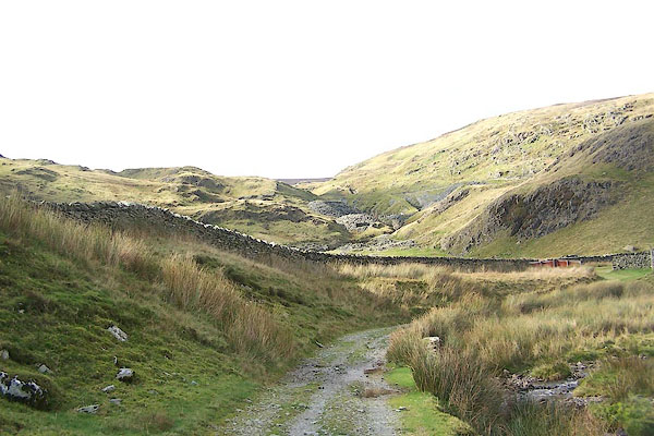 BMU02.jpg Wrengill Quarry. (taken 8.10.2006) 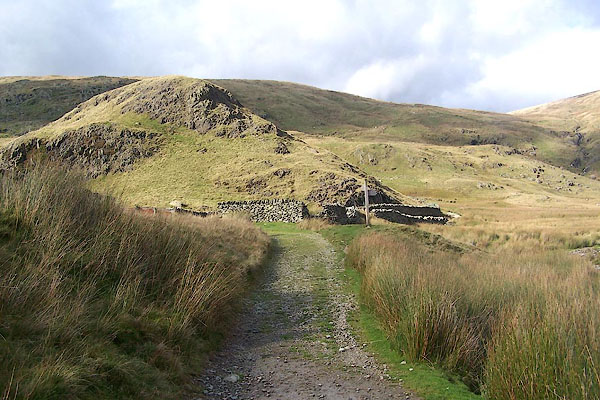 BMU03.jpg Sheep fold by the track at Wrengill. The finger post offers - Gatescarth Pass ahead; Mosedale to the right. (taken 8.10.2006) 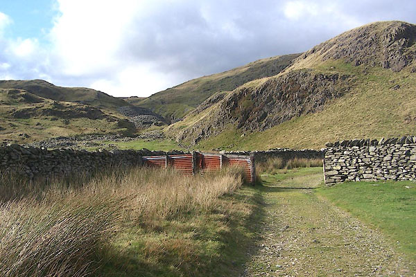 BMU04.jpg Looking into Wrengill. (taken 8.10.2006) 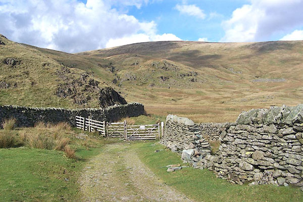 BMU05.jpg (taken 8.10.2006) 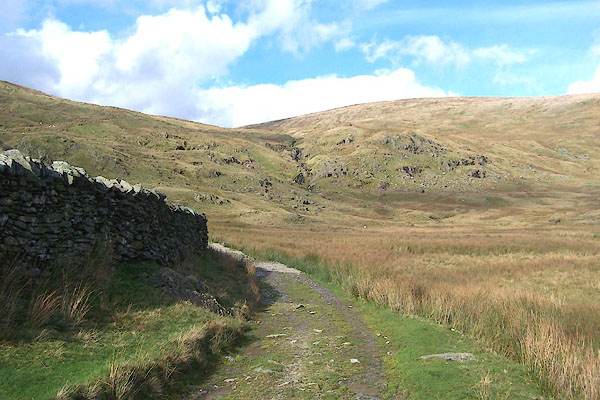 BMU06.jpg (taken 8.10.2006) 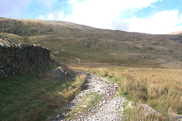 BMU07.jpg (taken 8.10.2006) 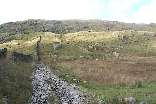 BMU08.jpg The track ahead zigzags up the shoulder of Adam Seat. (taken 8.10.2006) 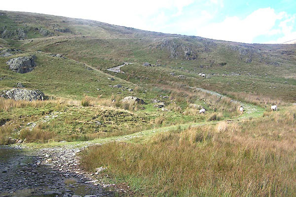 BMU09.jpg (taken 8.10.2006) 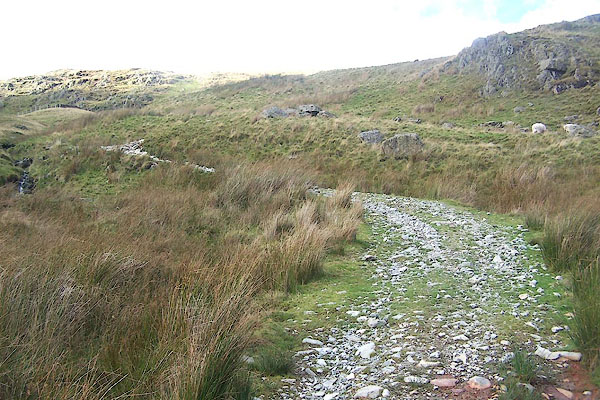 BMU10.jpg Climbing again, steeply. (taken 8.10.2006) 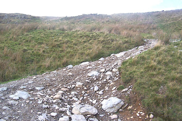 BMU11.jpg (taken 8.10.2006) 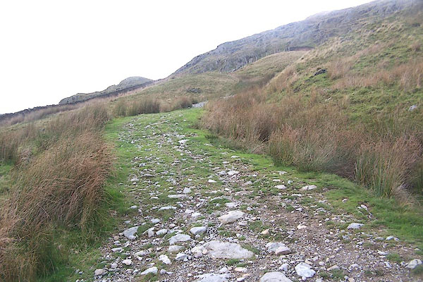 BMU12.jpg (taken 8.10.2006) 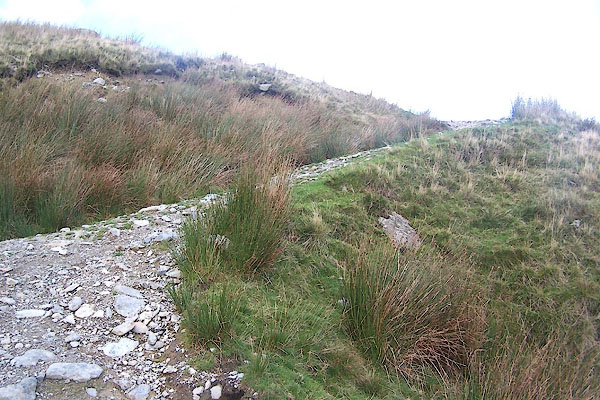 BMU13.jpg (taken 8.10.2006) 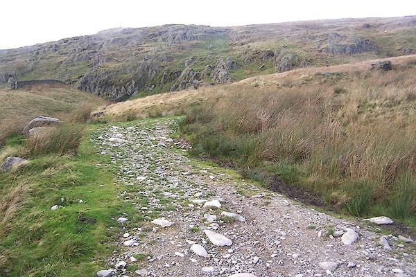 BMU14.jpg (taken 8.10.2006) 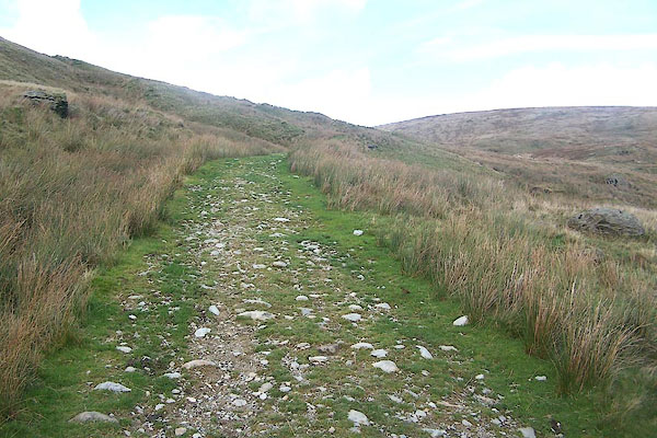 BMU15.jpg (taken 8.10.2006) 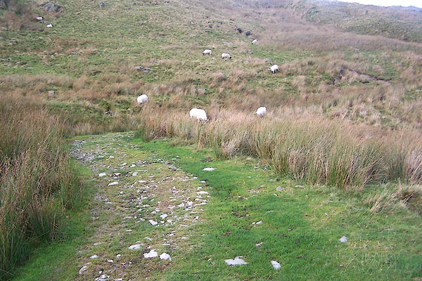 BMU16.jpg (taken 8.10.2006) 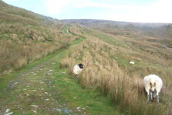 BMU17.jpg The sheep belong to High Swinklebank; red stroke down the far side shoulder. (taken 8.10.2006) 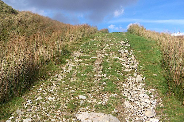 BMU18.jpg There are lots of false summits to draw you on along the track. (taken 8.10.2006) 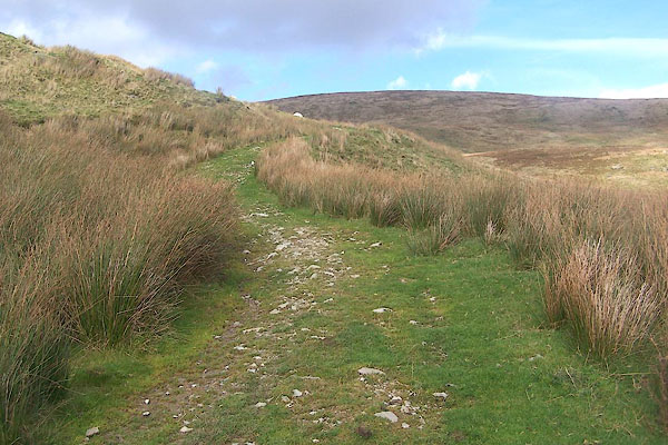 BMU19.jpg (taken 8.10.2006) 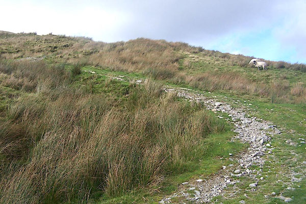 BMU20.jpg (taken 8.10.2006) 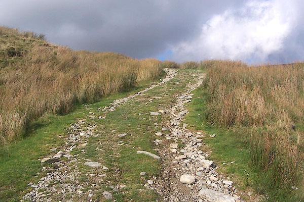 BMU21.jpg (taken 8.10.2006) 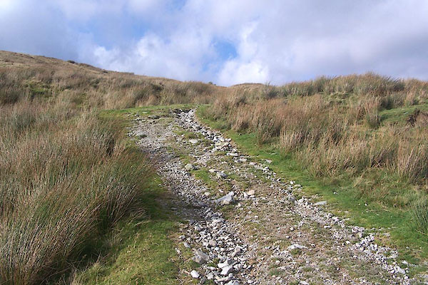 BMU22.jpg (taken 8.10.2006) 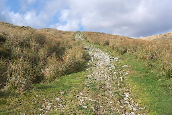 BMU23.jpg (taken 8.10.2006) 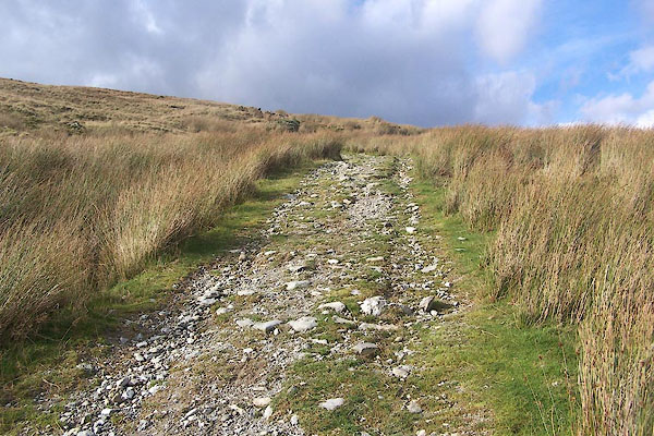 BMU24.jpg (taken 8.10.2006) 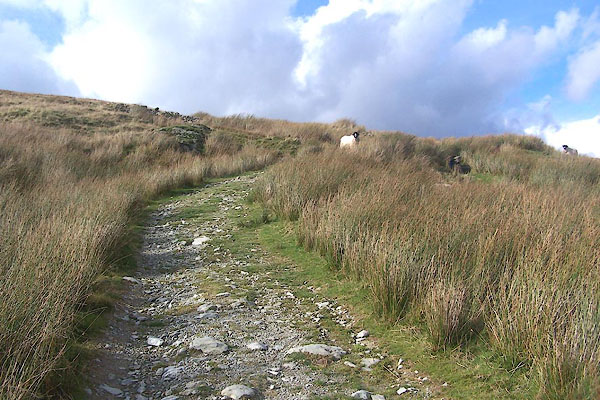 BMU25.jpg (taken 8.10.2006) 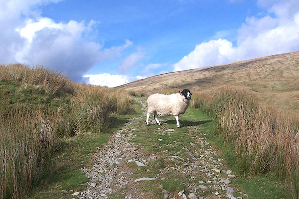 BMU26.jpg Rough Fell sheep from High Swinklebank; and camera club clouds. (taken 8.10.2006) 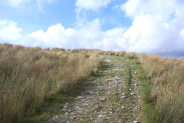 BMU27.jpg (taken 8.10.2006) 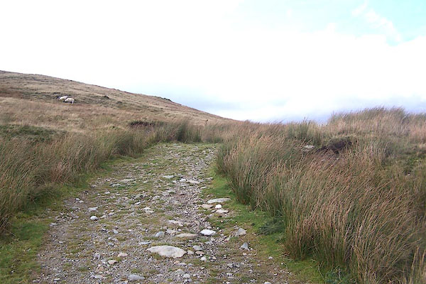 BMU28.jpg (taken 8.10.2006) 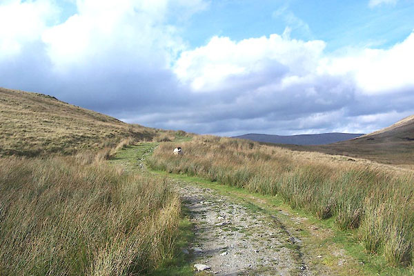 BMU29.jpg The hills beyond the pass appear in view; and more camera club clouds. (taken 8.10.2006) 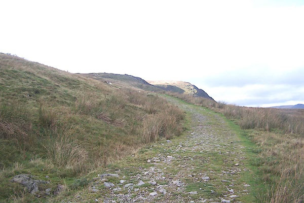 BMU30.jpg (taken 8.10.2006) 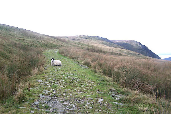 BMU31.jpg (taken 8.10.2006) 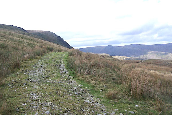 BMU32.jpg (taken 8.10.2006) 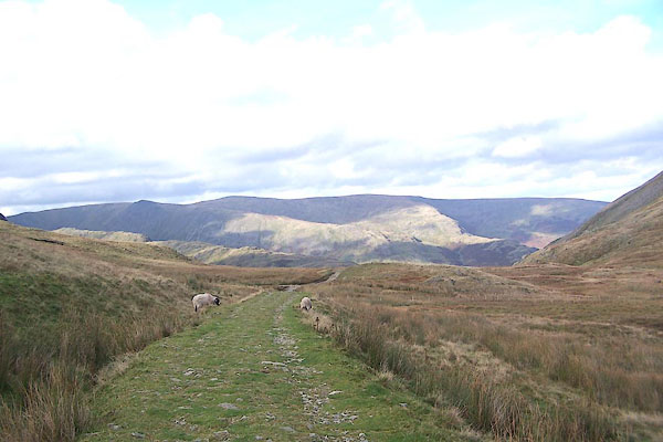 BMU33.jpg On the highest point of the track, about 1925 feet. The track is on the hillside higher than the saddle. (taken 8.10.2006) 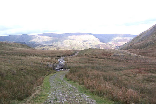 BMU34.jpg Hills NW of Haweswater; Kidsty Pike and Kidsty Howes, Riggindale Crags just visible, High Raise and Low Raise behind? (taken 8.10.2006) 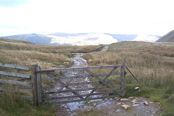 BMU35.jpg The fence and gate mark the parish boundary. You do not get a view down into Haweswater from here; nor from the next little crest. (taken 8.10.2006) |
||
|
|
||
Lakes Guides menu.