 Old Cumbria Gazetteer
 |
 |
|
| Penton Bridge, Nicholforest | ||
| Penton Bridge | ||
| site name:- | Liddel Water | |
| locality:- | Penton | |
| civil parish:- | Nicholforest (formerly Cumberland) | |
| county:- | Cumbria | |
| locality type:- | bridge | |
| locality type:- | boundary feature | |
| locality type:- | county boundary feature | |
| locality type:- | national boundary feature | |
| coordinates:- | NY43277744 | |
| 1Km square:- | NY4377 | |
| 10Km square:- | NY47 | |
| country:- | Scotland | |
| current boundary | ||
| locality:- | Cumbria boundary | |
|
|
||
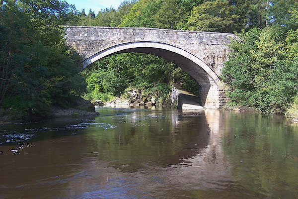 BMQ44.jpg (taken 15.9.2006) |
||
|
|
||
| evidence:- | old map:- OS County Series (Cmd 3 13) placename:- Penton Bridge |
|
| source data:- | Maps, County Series maps of Great Britain, scales 6 and 25
inches to 1 mile, published by the Ordnance Survey, Southampton,
Hampshire, from about 1863 to 1948. |
|
|
|
||
| evidence:- | old map:- Bell 1892 placename:- Penton Bridge |
|
| source data:- | Map, colour lithograph, Road Map of Cumberland, by George Joseph
Bell, scale about 2.5 miles to 1 inch, printed by Charles
Thurnam and Sons, Carlisle, Cumberland, 1892.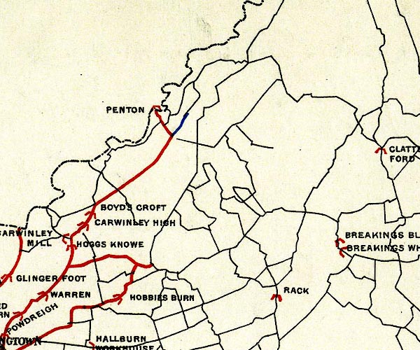 BEL9NY47.jpg "PENTON" bridge symbol; on county boundary, national boundary Road map of Cumberland showing County Bridges item:- Carlisle Library : Map 38 Image © Carlisle Library |
|
|
|
||
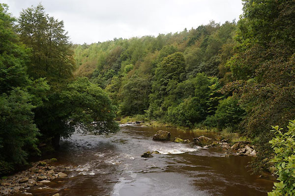 CBN50.jpg View of river. (taken 29.8.2014) 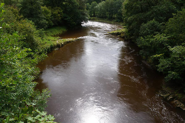 CBN51.jpg View of river. (taken 29.8.2014) |
||
|
|
||
 Lakes Guides menu.