 Old Cumbria Gazetteer
 |
 |
|
| milestone, Underskiddaw (4) | ||
| site name:- | road, Keswick to Cockermouth | |
| locality:- | Little Crosthwaite | |
| civil parish:- | Underskiddaw (formerly Cumberland) | |
| county:- | Cumbria | |
| locality type:- | milestone | |
| coordinates:- | NY23422800 | |
| 1Km square:- | NY2328 | |
| 10Km square:- | NY22 | |
|
|
||
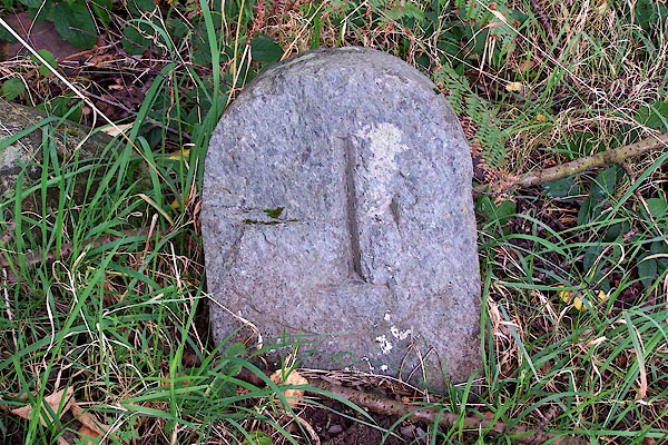 BMR90.jpg Inscribed stone:- "[4]" (taken 29.9.2006) |
||
|
|
||
| evidence:- | old map:- OS County Series (Cmd 56 9) |
|
| source data:- | Maps, County Series maps of Great Britain, scales 6 and 25
inches to 1 mile, published by the Ordnance Survey, Southampton,
Hampshire, from about 1863 to 1948. "M.S. Keswick .. 4" |
|
|
|
||
 Lakes Guides menu.