 |
 |
   |
|
|
|
Little Crosthwaite |
|
|
| civil parish:- |
Underskiddaw (formerly Cumberland) |
| county:- |
Cumbria |
| locality type:- |
locality |
| locality type:- |
buildings |
| coordinates:- |
NY23462763 (etc) |
| 1Km square:- |
NY2327 |
| 10Km square:- |
NY22 |
|
|
| evidence:- |
old map:- OS County Series (Cmd 56 9)
placename:- Little Crosthwaite
placename:- Crosthwaite, Little
|
| source data:- |
Maps, County Series maps of Great Britain, scales 6 and 25
inches to 1 mile, published by the Ordnance Survey, Southampton,
Hampshire, from about 1863 to 1948.
|
|
|
| evidence:- |
old map:- Saxton 1579
placename:- Crosthwate
|
| source data:- |
Map, hand coloured engraving, Westmorlandiae et Cumberlandiae Comitatus ie Westmorland
and Cumberland, scale about 5 miles to 1 inch, by Christopher Saxton, London, engraved
by Augustinus Ryther, 1576, published 1579-1645.
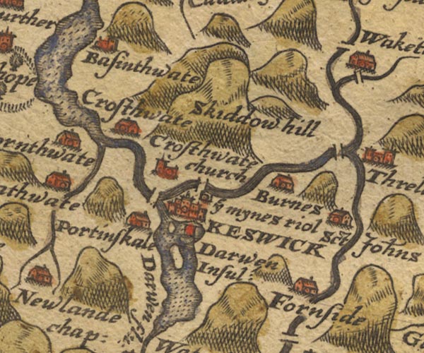
Sax9NY22.jpg
Building, symbol for a hamlet, which may or may not have a nucleus. "Crosthwate"
item:- private collection : 2
Image © see bottom of page
|
|
|
| evidence:- |
old map:- Speed 1611 (Cmd)
|
| source data:- |
Map, hand coloured engraving, Cumberland and the Ancient Citie
Carlile Described, scale about 4 miles to 1 inch, by John Speed,
1610, published by J Sudbury and George Humble, Popes Head
Alley, London, 1611-12.
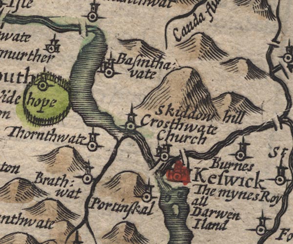
SP11NY22.jpg
circle, tower; where the Newlands Beck and Derwent meet Bassenthwaite Lake
item:- private collection : 16
Image © see bottom of page
|
|
|
| evidence:- |
old map:- Jansson 1646
placename:- Crosthwate
|
| source data:- |
Map, hand coloured engraving, Cumbria and Westmoria, ie
Cumberland and Westmorland, scale about 3.5 miles to 1 inch, by
John Jansson, Amsterdam, Netherlands, 1646.
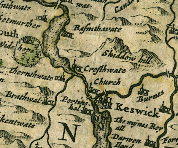
JAN3NY22.jpg
"Crosthwate"
Buildings and tower.
item:- JandMN : 88
Image © see bottom of page
|
|
|
| evidence:- |
old map:- Ogilby 1675 (plate 96)
placename:- Little Crosthwait
|
| source data:- |
Road strip map, hand coloured engraving, the Road from Kendal to
Cockermouth, and the Road from Egremond to Carlisle, scale about
1 inch to 1 mile, by John Ogilby, London, 1675.
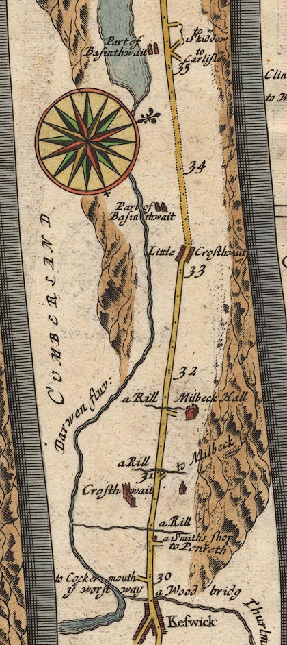
OG96m030.jpg
In mile 33, Cumberland. "Little Crosthwait"
houses each side of the road.
item:- JandMN : 22
Image © see bottom of page
|
|
|
| evidence:- |
old map:- Berry 1679
placename:- Little Crossthwaite
placename:- Crossthwaite, Little
|
| source data:- |
Road map, diagram, The Grand Roads of England, engraved by John
Rich, made and published by William Berry, at the Sign of the
Globe, London, 1679.
"Little Crossthw:"
|
|
|
| evidence:- |
old map:- Morden 1695 (Cmd)
|
| source data:- |
Map, uncoloured engraving, Cumberland, scale about 4 miles to 1
inch, by Robert Morden, 1695, published by Abel Swale, the
Unicorn, St Paul's Churchyard, Awnsham, and John Churchill, the
Black Swan, Paternoster Row, London, 1695-1715.
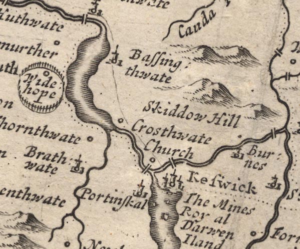
MD12NY22.jpg
Circle, perhaps sharing a label with Crosthwaite?
item:- JandMN : 90
Image © see bottom of page
|
|
|
| evidence:- |
old map:- Bowen 1720 (plate 260)
placename:- Little Crosthwate
|
| source data:- |
Road strip map, uncoloured engraving, pl.260, The Road from
Kendal to Cockermouth, scale about 2 miles to 1 inch, with
sections in Westmorland and Cumberland, published by Emanuel
Bowen, St Katherines, London, 1720.
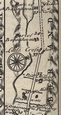
B260m30.jpg
At mile 33.
item:- private collection : 1.260
Image © see bottom of page
|
|
|
| evidence:- |
old map:- Bowen and Kitchin 1760
placename:- Little Crosthwate
|
| source data:- |
Map, hand coloured engraving, A New Map of the Counties of
Cumberland and Westmoreland Divided into their Respective Wards,
scale about 4 miles to 1 inch, by Emanuel Bowen and Thomas
Kitchin et al, published by T Bowles, Robert Sayer, and John
Bowles, London, 1760.
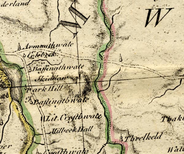
BO18NY22.jpg
"Lit. Crosthwate"
blocks, on road
item:- Armitt Library : 2008.14.10
Image © see bottom of page
|
|
|
| evidence:- |
old map:- Donald 1774 (Cmd)
placename:- Little Crosthwaite
placename:- Crosthwaite, Little
|
| source data:- |
Map, hand coloured engraving, 3x2 sheets, The County of Cumberland, scale about 1
inch to 1 mile, by Thomas Donald, engraved and published by Joseph Hodskinson, 29
Arundel Street, Strand, London, 1774.
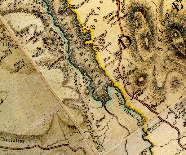
D4NY22NW.jpg
"Little Crosthwaite / [ ]"
block or blocks, labelled in lowercase; a hamlet or just a house, and an illegible
resident
item:- Carlisle Library : Map 2
Image © Carlisle Library |
|
|
| evidence:- |
old map:- Crosthwaite 1783-94 (Bas)
|
| source data:- |
Map, uncoloured engraving, An Accurate Map of Broadwater or
Bassenthwaite Lake, scale about 3 inches to 1 mile, by Peter
Crosthwaite, Keswick, Cumberland, 1783, version published 1800.
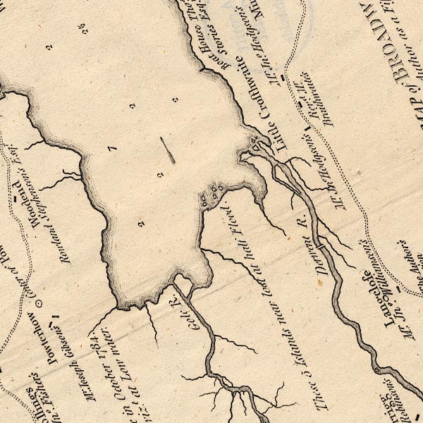
CT6NY22I.jpg
"Revd. Mr. Braithwaite's"
At Little Crosthwaite.
item:- Armitt Library : 1959.191.4
Image © see bottom of page
|
|
|
| evidence:- |
old map:- Crosthwaite 1783-94 (Bas)
placename:- Little Crosthwaite
|
| source data:- |
Map, uncoloured engraving, An Accurate Map of Broadwater or
Bassenthwaite Lake, scale about 3 inches to 1 mile, by Peter
Crosthwaite, Keswick, Cumberland, 1783, version published 1800.

CT6NY22I.jpg
"Little Crosthwaite"
item:- Armitt Library : 1959.191.4
Image © see bottom of page
|
|
|
| evidence:- |
old map:- Clarke 1787 map (Bassenthwaite Lake)
placename:- Little Crossthwaite
|
| source data:- |
Map, A Map of Broadwater and its Environs, ie Bassenthwaite
Lake, scale about 6.5 ins to 1 mile, by James Clarke, engraved
by Neele, 352 Strand, published by James Clarke, Penrith,
Cumberland and in London etc, 1787.
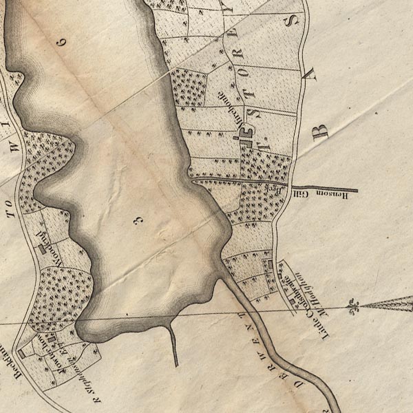
CL8NY22I.jpg
"Little Crossthwaite / Mr. Hodghon"
item:- private collection : 10.8
Image © see bottom of page
|
|
|
| evidence:- |
road book:- Cary 1798 (2nd edn 1802)
placename:- Little Crosthwaite
|
| source data:- |
Road book, itineraries, Cary's New Itinerary, by John Cary, 181
Strand, London, 2nd edn 1802.
 goto source goto source
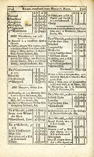 click to enlarge click to enlarge
C38319.jpg
page 319-320 "Little Crosthwaite"
item:- JandMN : 228.1
Image © see bottom of page
|
|
|
| evidence:- |
old map:- Laurie and Whittle 1806
placename:- Little Crosthwaite
|
| source data:- |
Road map, Completion of the Roads to the Lakes, scale about 10
miles to 1 inch, by Nathaniel Coltman? 1806, published by Robert
H Laurie, 53 Fleet Street, London, 1834.
 click to enlarge click to enlarge
Lw18.jpg
"Little Crosthwaite 294¾"
village or other place; distance from London
item:- private collection : 18.18
Image © see bottom of page
|
|
|
| evidence:- |
old print:- Green 1822 (plate 39)
placename:- Little Crosthwaite
|
| source data:- |
Print, uncoloured soft ground etching, Little Crosthwaite, Underskiddaw, Cumberland,
by William Green, Ambleside, Westmorland, 1822.
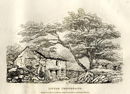 click to enlarge click to enlarge
GN0839.jpg
Plate 39 in Forty Etchings from Nature.
printed at bottom:- "LITTLE CROSTHWAITE. / Etched from Nature by William Green, &Published at Ambleside,
Feby. 1, 1822."
item:- Armitt Library : A6644.39
Image © see bottom of page
|
|
|
| places:- |
 |
NY23452744 Kiln How (Underskiddaw) |
|
|
 |
NY23352782 Mire House Cottage (Underskiddaw) |
|
|
 |
NY23462814 South Lodge (Underskiddaw) |
|
|
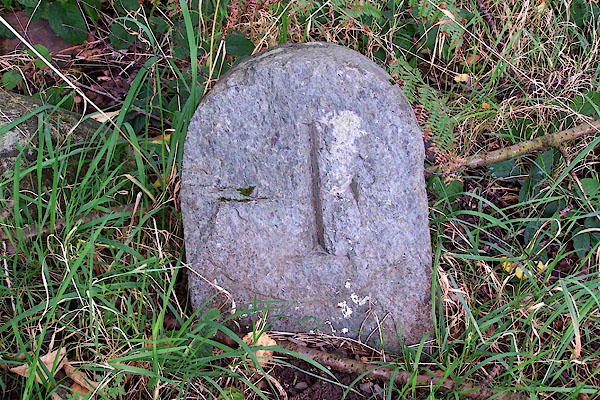 |
NY23422800 milestone, Underskiddaw (4) (Underskiddaw) |
|


 goto source
 click to enlarge
 click to enlarge
 click to enlarge


