 Old Cumbria Gazetteer
 |
 |
|
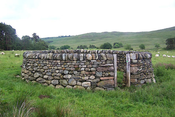
| Redmire Farm Fold, Mungrisdale | ||
| Redmire Farm Fold | ||
| site name:- | Redmire | |
| civil parish:- | Mungrisdale (formerly Cumberland) | |
| county:- | Cumbria | |
| locality type:- | sheepfold | |
| coordinates:- | NY37162952 | |
| 1Km square:- | NY3729 | |
| 10Km square:- | NY32 | |
|
|
||
 BNV09.jpg (taken 16.6.2007) 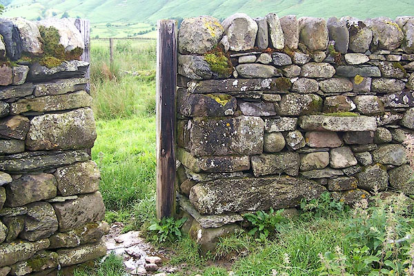 BNV10.jpg (taken 16.6.2007) |
||
|
|
||
| evidence:- | old map:- OS County Series (Cmd 57 6) |
|
| source data:- | Maps, County Series maps of Great Britain, scales 6 and 25
inches to 1 mile, published by the Ordnance Survey, Southampton,
Hampshire, from about 1863 to 1948. "Sheepfold" |
|
|
|
||
| :- |
Renewed by Andy Goldsworthy as part of the Sheepfolds project, 1996-2002. |
|
| : 2002 (?): Andy Goldsworthy Sheepfolds: Cumbria CC (?):: leaflet from TIC www.sheepfolds.org |
||
|
|
||
 Lakes Guides menu.