 Old Cumbria Gazetteer
 |
 |
|
| Yew Pike, Coniston | ||
| Yew Pike | ||
| locality:- | Coniston Fells | |
| civil parish:- | Coniston (formerly Lancashire) | |
| county:- | Cumbria | |
| locality type:- | hill | |
| coordinates:- | SD300985 | |
| 1Km square:- | SD3098 | |
| 10Km square:- | SD39 | |
|
|
||
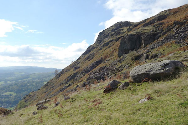 BZN26.jpg (taken 15.10.2013) |
||
|
|
||
| evidence:- | old map:- OS County Series (Lan 1 16) placename:- Yew Pike |
|
| source data:- | Maps, County Series maps of Great Britain, scales 6 and 25
inches to 1 mile, published by the Ordnance Survey, Southampton,
Hampshire, from about 1863 to 1948. |
|
|
|
||
| evidence:- | old print:- Pyne 1853 |
|
| source data:- | Coniston Water and Coniston Old Man drawn by James Barker Pyne, 1848-1853, lithographed
by T Picken, 1859.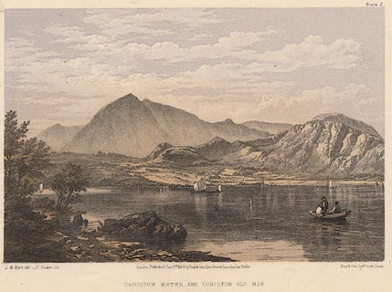 click to enlarge click to enlargePY02.jpg "Coniston Water and Coniston Old Man" item:- JandMN : 97.4 Image © see bottom of page |
|
|
|
||
 Lakes Guides menu.