 Old Cumbria Gazetteer
 |
 |
|
| mill, Wood Hall | ||
| Wood Hall | ||
| locality:- | Wood Hall | |
| civil parish:- | Caldbeck (formerly Cumberland) | |
| county:- | Cumbria | |
| locality type:- | buildings | |
| coordinates:- | NY34053729 | |
| 1Km square:- | NY3437 | |
| 10Km square:- | NY33 | |
|
|
||
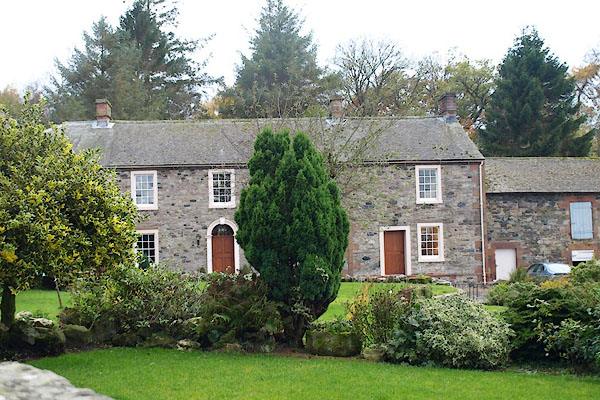 BPU52.jpg (taken 7.11.2008) 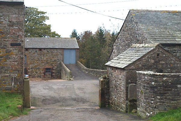 BPU53.jpg Barn, gate, shed, ... (taken 7.11.2008) |
||
| this is the building matching the Listed Building ngr, on the OS County series this
is a mill |
||
|
|
||
| evidence:- | old map:- OS County Series (Cmd 48 1) |
|
| source data:- | Maps, County Series maps of Great Britain, scales 6 and 25
inches to 1 mile, published by the Ordnance Survey, Southampton,
Hampshire, from about 1863 to 1948. "Corn Mill / Mill Race / Mill Dam / Sluice" |
|
|
|
||
| evidence:- | database:- Listed Buildings 2010 placename:- Wood Hall |
|
| source data:- | courtesy of English Heritage "WOOD HALL AND ADJOINING BARNS / / / CALDBECK / ALLERDALE / CUMBRIA / II / 72422 / NY3405237297" |
|
|
|
||
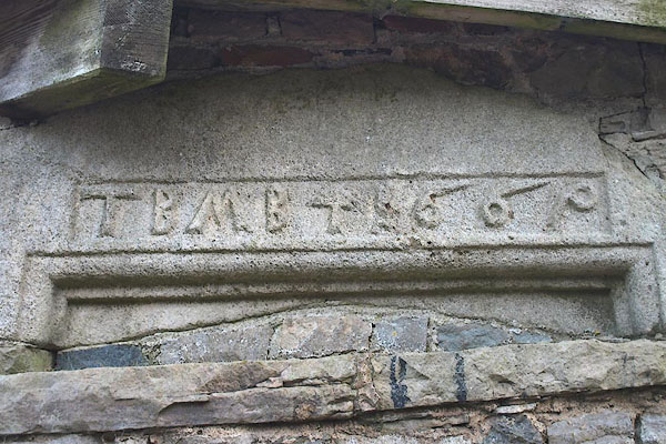 BPU51.jpg Date stone built into a shed:- "TBMBT [1]669" (taken 7.11.2008) |
||
|
|
||
 Lakes Guides menu.