 Old Cumbria Gazetteer
 |
 |
|
| Whicham Mill, Whicham | ||
| Whicham Mill | ||
| site name:- | Whitecombe Beck | |
| civil parish:- | Whicham (formerly Cumberland) | |
| county:- | Cumbria | |
| locality type:- | buildings | |
| locality type:- | water mill (ex) | |
| locality type:- | mill (ex) | |
| locality type:- | corn mill (ex) | |
| coordinates:- | SD15258510 | |
| 1Km square:- | SD1585 | |
| 10Km square:- | SD18 | |
|
|
||
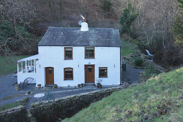 CEP91.jpg (taken 23.2.2016) |
||
|
|
||
| evidence:- | old map:- OS County Series (Cmd 88 6) placename:- Whicham Mill |
|
| source data:- | Maps, County Series maps of Great Britain, scales 6 and 25
inches to 1 mile, published by the Ordnance Survey, Southampton,
Hampshire, from about 1863 to 1948. "Whicham Mill (Corn) / Weir / Mill Race" The weir is up the beck and shows no mill dam. Below the house is a "Ford" |
|
|
|
||
| evidence:- | old map:- Donald 1774 (Cmd) |
|
| source data:- | Map, hand coloured engraving, 3x2 sheets, The County of Cumberland, scale about 1
inch to 1 mile, by Thomas Donald, engraved and published by Joseph Hodskinson, 29
Arundel Street, Strand, London, 1774.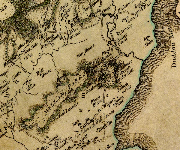 D4SD18SE.jpg circle with rays, mill wheel; a water mill at Mill Hall item:- Carlisle Library : Map 2 Image © Carlisle Library |
|
|
|
||
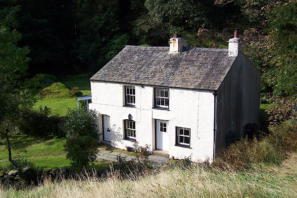 BOF07.jpg (taken 1.10.2007) 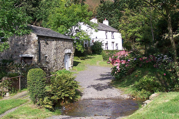 BOF08.jpg (taken 1.10.2007) |
||
|
|
||
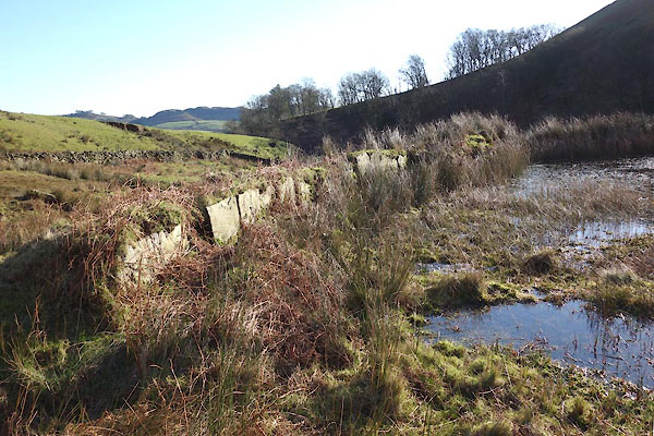 CEP89.jpg Mill dam, (taken 23.2.2016) 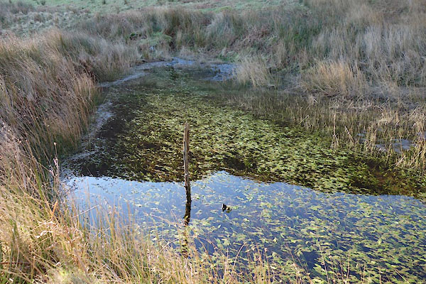 CEP90.jpg Mill dam, (taken 23.2.2016) |
||
|
|
||
 Lakes Guides menu.