Old Cumbria Gazetteer
 |
 |
|
||
| Whicham Beck | ||||
| runs into:- |  Kirksanton Pool Kirksanton Pool |
|||
|
|
||||
| civil parish:- | Whicham (formerly Cumberland) | |||
| civil parish:- | Millom Without (formerly Cumberland) | |||
| county:- | Cumbria | |||
| locality type:- | river | |||
| locality type:- | parish boundary | |||
| locality type:- | boundary | |||
| 1Km square:- | SD1583 (etc) | |||
| 10Km square:- | SD18 | |||
|
|
||||
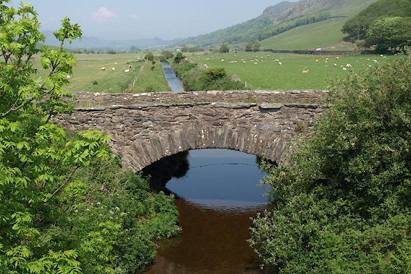
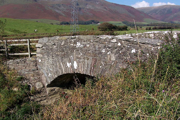
 BWP48.jpg At new Hellpool Bridge. (taken 28.5.2012)  BOF35.jpg At Pohouse Bridge. (taken 1.10.2007) |
||||
|
|
||||
| evidence:- | old map:- West 1784 map |
|||
| source data:- | Map, hand coloured engraving, A Map of the Lakes in Cumberland,
Westmorland and Lancashire, scale about 3.5 miles to 1 inch,
engraved by Paas, 53 Holborn, London, about 1784.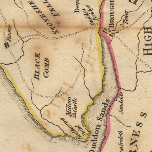 Ws02SD18.jpg item:- Armitt Library : A1221.1 Image © see bottom of page |
|||
|
|
||||
| places:- |
|
|||
|
||||
|
||||
Lakes Guides menu.