 |
 |
|
|
|
|
West Curthwaite |
|
|
| locality:- |
Curthwaite |
| civil parish:- |
Westward (formerly Cumberland) |
| county:- |
Cumbria |
| locality type:- |
locality |
| locality type:- |
buildings |
| coordinates:- |
NY32404893 (etc) |
| 1Km square:- |
NY3248 |
| 10Km square:- |
NY34 |
|
|
|
BZO89.jpg (taken 1.11.2013)
|
|
|
| evidence:- |
old map:- OS County Series (Cmd 29 8)
placename:- West Curthwaite
|
| source data:- |
Maps, County Series maps of Great Britain, scales 6 and 25
inches to 1 mile, published by the Ordnance Survey, Southampton,
Hampshire, from about 1863 to 1948.
|
|
|
| evidence:- |
old map:- Donald 1774 (Cmd)
placename:- West Kirkthwaite
placename:- Kirkthwaite, West
|
| source data:- |
Map, hand coloured engraving, 3x2 sheets, The County of Cumberland, scale about 1
inch to 1 mile, by Thomas Donald, engraved and published by Joseph Hodskinson, 29
Arundel Street, Strand, London, 1774.
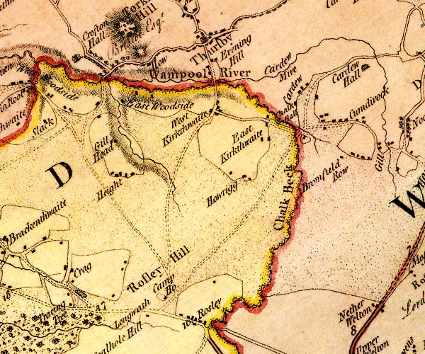
D4NY34NW.jpg
"West Kirkthwaite"
block or blocks, labelled in lowercase; a hamlet or just a house
item:- Carlisle Library : Map 2
Image © Carlisle Library |
|
|
| places:- |
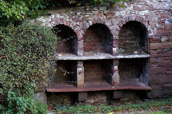 |
NY32444902 bee boles, West Curthwaite (Westward) |
|
|
 |
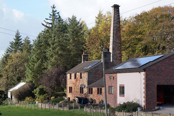
NY32064861 brickworks, West Curthwaite (Westward) gone |
|
|
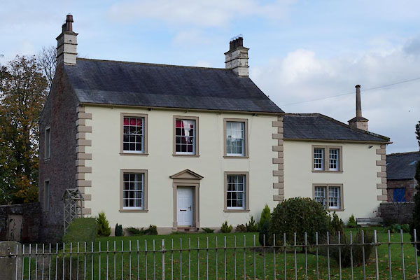 |
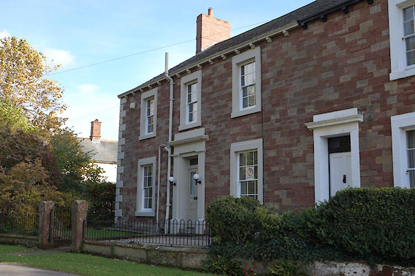
NY32464900 Curthwaite House (Westward) L |
|
|
 |
NY32574925 Curthwaite Station (Westward) L |
|
|
 |
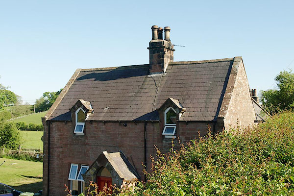
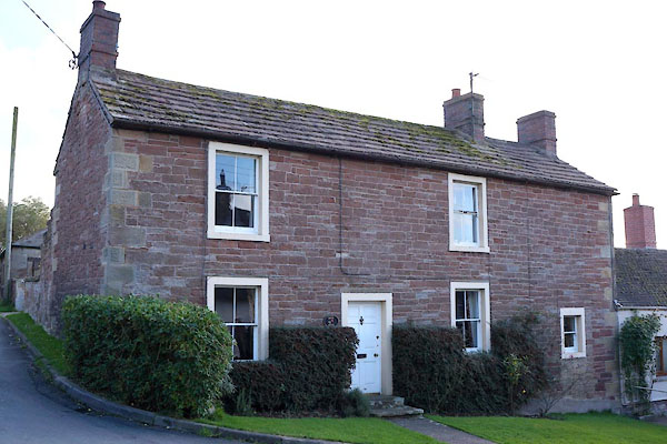
NY32414894 Hill House (Westward) L |
|
|
 |
NY32384892 Meadow Bank Farm (Westward) L |
|
|
|
NY32334899 Meadow Bank (Westward) |
|
|
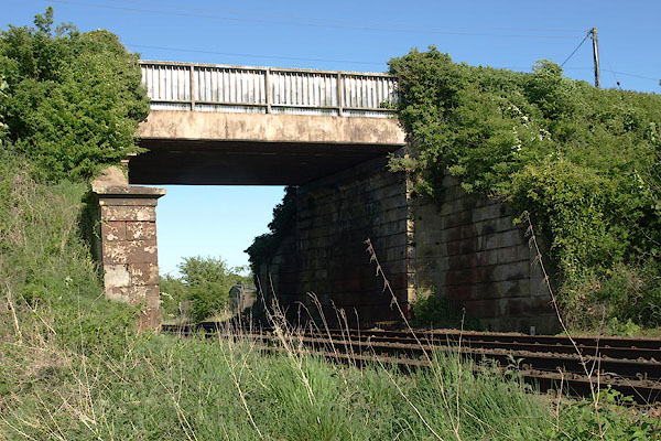 |
NY32504923 railway bridge, Westward (Westward) |
|
|
 |
NY32404891 Rose Bank (Westward) L |
|
|
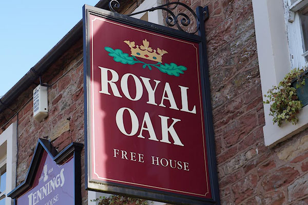 |
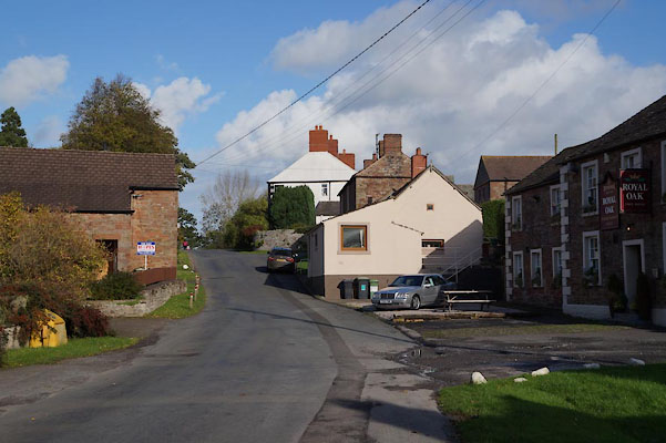
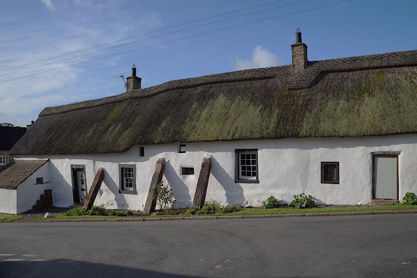
NY32384887 Royal Oak (Westward) L |
|
|
 |
NY32424937 Thursby Mill (Thursby) |
|
|
|
NY32114868 Todd Close (Westward) |
|
|
|
NY32354867 Townhead (Westward) |
|
