 |
 |
   |
|
|
|
Watercrook Farm |
| civil parish:- |
Natland (formerly Westmorland) |
| county:- |
Cumbria |
| locality type:- |
buildings |
| coordinates:- |
SD51499055 |
| 1Km square:- |
SD5190 |
| 10Km square:- |
SD59 |
|
|
| evidence:- |
old map:- OS County Series (Wmd 38 12)
placename:- Watercrook
|
| source data:- |
Maps, County Series maps of Great Britain, scales 6 and 25
inches to 1 mile, published by the Ordnance Survey, Southampton,
Hampshire, from about 1863 to 1948.
|
|
|
| evidence:- |
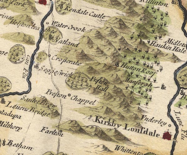
old map:- Morden 1695 (Wmd)
placename:- Water Crook
|
| source data:- |
Map, hand coloured engraving, Westmorland, scale about 2.5 miles to 1 inch, by Robert
Morden, published by Abel Swale, the Unicorn, St Paul's Churchyard, Awnsham, and John
Churchill, the Black Swan, Paternoster Row, London, 1695.

MD10SD58.jpg
"Water Crook"
Circle.
item:- JandMN : 24
Image © see bottom of page
|
|
|
| evidence:- |
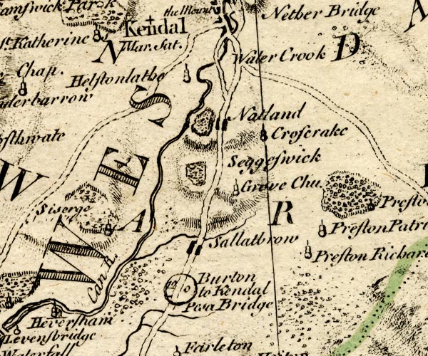
old map:- Bowen and Kitchin 1760
placename:- Water Crook
|
| source data:- |
Map, hand coloured engraving, A New Map of the Counties of
Cumberland and Westmoreland Divided into their Respective Wards,
scale about 4 miles to 1 inch, by Emanuel Bowen and Thomas
Kitchin et al, published by T Bowles, Robert Sayer, and John
Bowles, London, 1760.

BO18SD48.jpg
"Water Crook"
no symbol
item:- Armitt Library : 2008.14.10
Image © see bottom of page
|
|
|
| evidence:- |
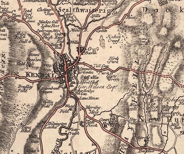
old map:- Jefferys 1770 (Wmd)
placename:- Water Crook
|
| source data:- |
Map, 4 sheets, The County of Westmoreland, scale 1 inch to 1
mile, surveyed 1768, and engraved and published by Thomas
Jefferys, London, 1770.

J5SD59SW.jpg
"Water Crook"
circle, labelled in italic lowercase text; settlement, farm, house, or hamlet?
item:- National Library of Scotland : EME.s.47
Image © National Library of Scotland |
|
|
| evidence:- |
descriptive text:- West 1778 (11th edn 1821)
placename:- Concangium
item:- inscription, roman; roman inscription; altar, roman; roman altar
|
| source data:- |
Guide book, A Guide to the Lakes, by Thomas West, published by
William Pennington, Kendal, Cumbria once Westmorland, and in
London, 1778 to 1821.
 goto source goto source
Page 183:- "..."
"There is a most pleasant morning ride of five miles, down the east side of the river.
Watercrook is one mile distant, on the right, close by the side of the Kent. This
is the Concangium of the Romans, where a body of the Vigilatores (or watchmen) kept
guard, and was the intermediate station betwixt the Dictis at Ambleside, and the garrison
at"
 goto source goto source
Page 184:- "Overborough. The line of the foss may be still traced, though much defaced by the
plough. Altars, coins, and inscribed stones, have been found here. And in the wall
of the barn, on the very area of the station, is still legible, the inscription preserved
by Mr. Horsley,[1] to the memory of two freed men, with an imprecation against any
one who should contaminate their sepulchre, and a fine to the fiscal. There is also
an altar without an inscription, and a Silenus without a head. ..."
"[1] Brit. page 300."
|
|
|
| evidence:- |
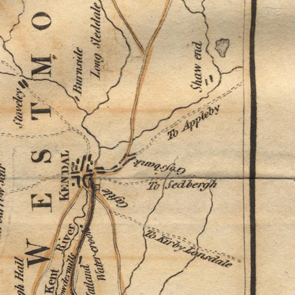
old map:- West 1784 map
placename:- Water-crook
|
| source data:- |
Map, hand coloured engraving, A Map of the Lakes in Cumberland,
Westmorland and Lancashire, scale about 3.5 miles to 1 inch,
engraved by Paas, 53 Holborn, London, about 1784.

Ws02SD59.jpg
item:- Armitt Library : A1221.1
Image © see bottom of page
|
|
|


 goto source
 goto source
