 |
 |
   |
|
|
|
Warnell Hall |
| civil parish:- |
Sebergham (formerly Cumberland) |
| county:- |
Cumbria |
| locality type:- |
buildings |
| coordinates:- |
NY35044134 |
| 1Km square:- |
NY3541 |
| 10Km square:- |
NY34 |
|
|
| evidence:- |
old map:- OS County Series (Cmd 38 5)
placename:- Warnell Hall
|
| source data:- |
Maps, County Series maps of Great Britain, scales 6 and 25
inches to 1 mile, published by the Ordnance Survey, Southampton,
Hampshire, from about 1863 to 1948.
|
|
|
| evidence:- |
probably old map:- Saxton 1579
placename:- Warnell
|
| source data:- |
Map, hand coloured engraving, Westmorlandiae et Cumberlandiae Comitatus ie Westmorland
and Cumberland, scale about 5 miles to 1 inch, by Christopher Saxton, London, engraved
by Augustinus Ryther, 1576, published 1579-1645.
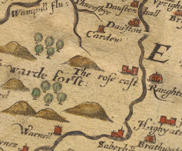
Sax9NY34.jpg
Tower, symbol for a house, hall, tower, etc. "Warnell"
item:- private collection : 2
Image © see bottom of page
|
|
|
| evidence:- |
old map:- Donald 1774 (Cmd)
placename:- Warnell Hall
|
| source data:- |
Map, hand coloured engraving, 3x2 sheets, The County of Cumberland, scale about 1
inch to 1 mile, by Thomas Donald, engraved and published by Joseph Hodskinson, 29
Arundel Street, Strand, London, 1774.
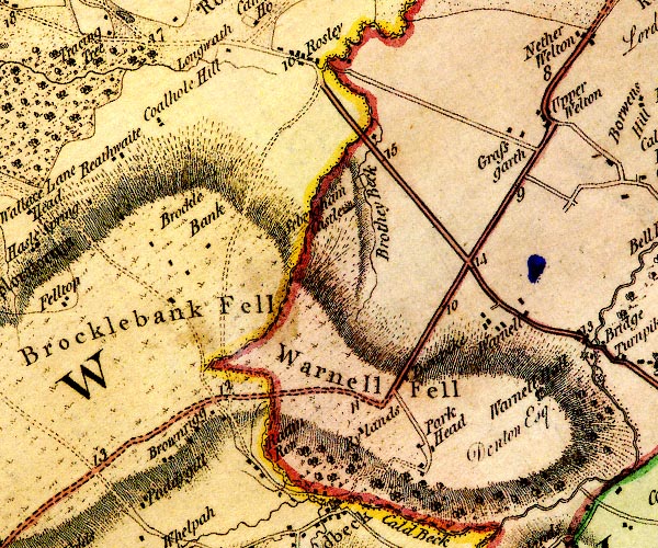
D4NY34SW.jpg
"Warnell Hall / Denton Esq."
house
item:- Carlisle Library : Map 2
Image © Carlisle Library |
|
|
| evidence:- |
road book:- Cary 1798 (2nd edn 1802)
placename:- Warnell Hall
|
| source data:- |
Road book, itineraries, Cary's New Itinerary, by John Cary, 181
Strand, London, 2nd edn 1802.
 goto source goto source
 click to enlarge click to enlarge
C38321.jpg
page 321-322 "On l. of Sebergham is Warnell Hall, - Denton, Esq."
item:- JandMN : 228.1
Image © see bottom of page
|
|
|
| evidence:- |
road book:- Cary 1798 (2nd edn 1802)
placename:- Warnell Hall
|
| source data:- |
Road book, itineraries, Cary's New Itinerary, by John Cary, 181
Strand, London, 2nd edn 1802.
 goto source goto source
 click to enlarge click to enlarge
C38557.jpg
page 557-558 "Between Upper Welton and Thorney Stone, on l. is Warnell Hall, T. Denton, Esq. ..."
item:- JandMN : 228.2
Image © see bottom of page
|
|
|
| evidence:- |
probably descriptive text:- Ford 1839 (3rd edn 1843)
|
| source data:- |
Guide book, A Description of Scenery in the Lake District, by
Rev William Ford, published by Charles Thurnam, Carlisle, by W
Edwards, 12 Ave Maria Lane, Charles Tilt, Fleet Street, William
Smith, 113 Fleet Street, London, by Currie and Bowman,
Newcastle, by Bancks and Co, Manchester, by Oliver and Boyd,
Edinburgh, and by Sinclair, Dumfries, 1839.
 goto source goto source
Page 97:- "..."
"... over Warnell Fell, having on the right the Hall, once the seat of the Dentons,
now belonging to Lord Lonsdale, built on a hill-side, profusely scattered over with
wood, and its base laved by the Caldew. ..."
|
|
|
| evidence:- |
old map:- Garnett 1850s-60s H
placename:- Warnell Hall
|
| source data:- |
Map of the English Lakes, in Cumberland, Westmorland and
Lancashire, scale about 3.5 miles to 1 inch, published by John
Garnett, Windermere, Westmorland, 1850s-60s.
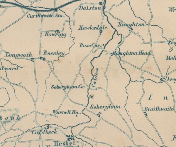
GAR2NY34.jpg
"Warnell Ha."
block, building
item:- JandMN : 82.1
Image © see bottom of page
|
|
|
| evidence:- |
database:- Listed Buildings 2010
placename:- Warnell Hall
item:- date stone (1683); coat of arms
|
| source data:- |
courtesy of English Heritage
"WARNELL HALL / / / SEBERGHAM / ALLERDALE / CUMBRIA / II[star] / 72486 / NY3505241339"
|
|
|
| evidence:- |
database:- Listed Buildings 2010
|
| source data:- |
courtesy of English Heritage
"COURTYARD RANGE AND GATEHOUSE WITH BARN ADJOINING, WARNELL HALL / / / SEBERGHAM /
ALLERDALE / CUMBRIA / II[star] / 72487 / NY3506741323"
|
|
|
notes:-
|
supposed tower; 16th century hall, altered, etc
|
|
Perriam, D R &Robinson, J: 1998: Medieval Fortified Buildings of Cumbria: CWAAS::
ISBN 1 873124 23 6; plan
|
|
|


 goto source
 click to enlarge
 goto source
 click to enlarge
 goto source
