 Old Cumbria Gazetteer
 |
 |
|
| Udford, Langwathby | ||
| Udford | ||
| civil parish:- | Langwathby (formerly Cumberland) | |
| county:- | Cumbria | |
| locality type:- | buildings | |
| coordinates:- | NY57403048 | |
| 1Km square:- | NY5730 | |
| 10Km square:- | NY53 | |
|
|
||
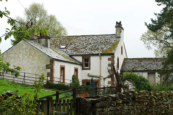 BQM24.jpg (taken 8.5.2009) |
||
|
|
||
| evidence:- | old map:- OS County Series (Cmd 59 3) placename:- Udford |
|
| source data:- | Maps, County Series maps of Great Britain, scales 6 and 25
inches to 1 mile, published by the Ordnance Survey, Southampton,
Hampshire, from about 1863 to 1948. |
|
|
|
||
| evidence:- | database:- Listed Buildings 2010 placename:- Udford |
|
| source data:- | courtesy of English Heritage "UDFORD / / / LANGWATHBY / EDEN / CUMBRIA / II / 74300 / NY5740630482" |
|
|
|
||
 Lakes Guides menu.