Old Cumbria Gazetteer
 |
 |
|
||
| Torver Beck | ||||
| civil parish:- | Torver (formerly Lancashire) | |||
| civil parish:- | Blawith and Subberthwaite (formerly Lancashire) | |||
| county:- | Cumbria | |||
| locality type:- | river | |||
| coordinates:- | SD292922 | |||
| 1Km square:- | SD2992 | |||
| 10Km square:- | SD29 | |||
|
|
||||
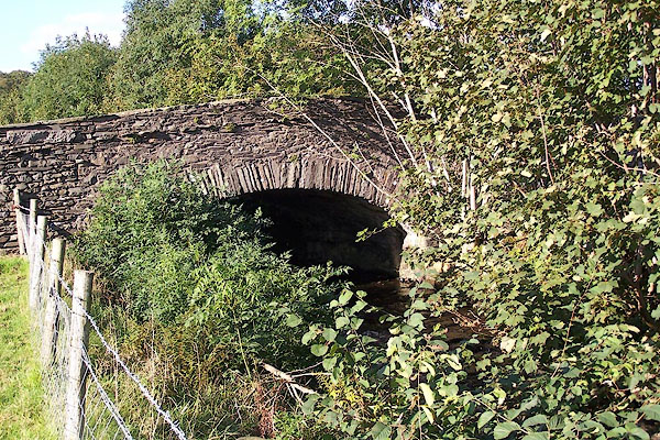
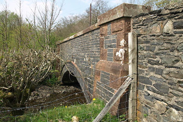
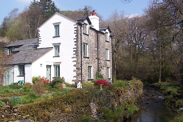
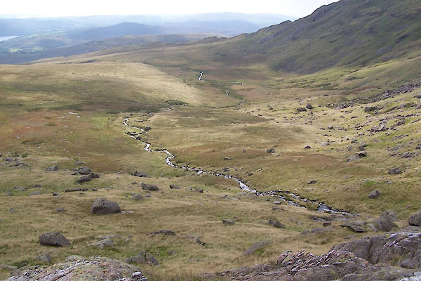
 CBP42.jpg at Torver Bridge, (taken 2.9.2014) 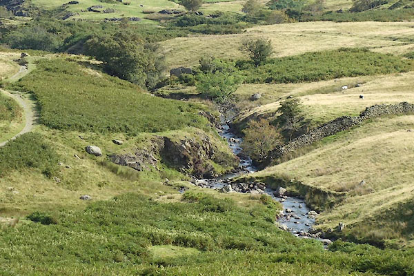 CBP43.jpg (taken 2.9.2014) |
||||
|
|
||||
| evidence:- | old map:- OS County Series (Lan 4 7) placename:- Torver Beck |
|||
| source data:- | Maps, County Series maps of Great Britain, scales 6 and 25
inches to 1 mile, published by the Ordnance Survey, Southampton,
Hampshire, from about 1863 to 1948. OS County Series (Lan 4 11) |
|||
|
|
||||
| evidence:- | old map:- Crosthwaite 1783-94 (Con) placename:- Oxness River |
|||
| source data:- | Map, uncoloured engraving, An Accurate Map of Coniston Lake,
scale about 3 inches to 1 mile, by Peter Crosthwaite, Keswick,
Cumberland, 1788, version published 1809.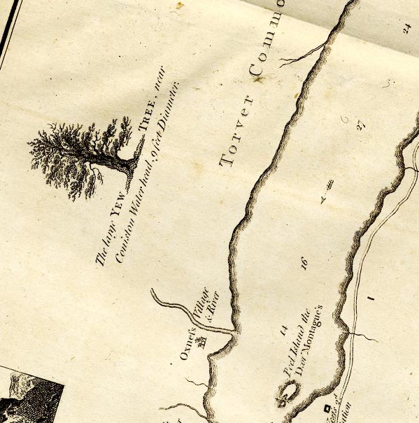 CTESD29W.jpg "Oxness Village and River" item:- JandMN : 182.5 Image © see bottom of page |
|||
|
|
||||
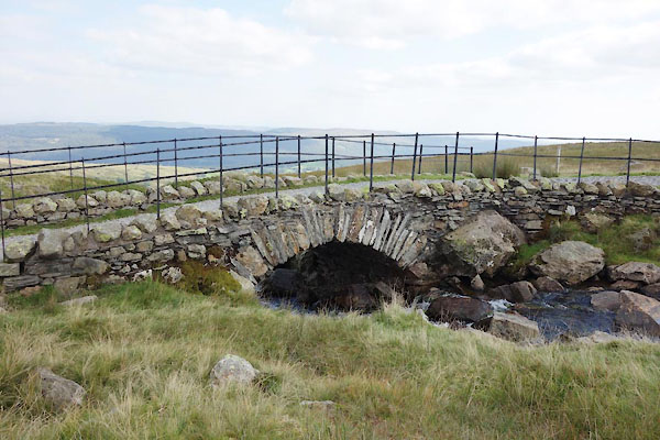
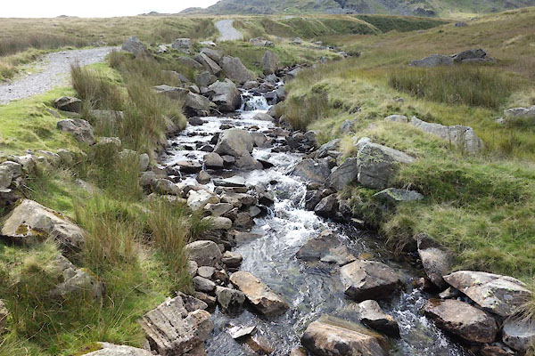
 BTN36.jpg in The Cove, (taken 8.9.2010) 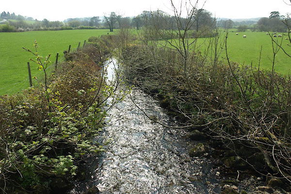 BUI82.jpg At Hollage Bridge, (taken 19.4.2011) |
||||
|
|
||||
| places:- |
|
|||
|
||||
|
||||
|
||||
|
||||
 Lakes Guides menu.