 Old Cumbria Gazetteer
 |
 |
|
| Tolson Hall, Strickland Ketel | ||
| Tolson Hall | ||
| locality:- | Burneside | |
| civil parish:- | Strickland Ketel (formerly Westmorland) | |
| county:- | Cumbria | |
| locality type:- | buildings | |
| coordinates:- | SD49689542 | |
| 1Km square:- | SD4995 | |
| 10Km square:- | SD49 | |
|
|
||
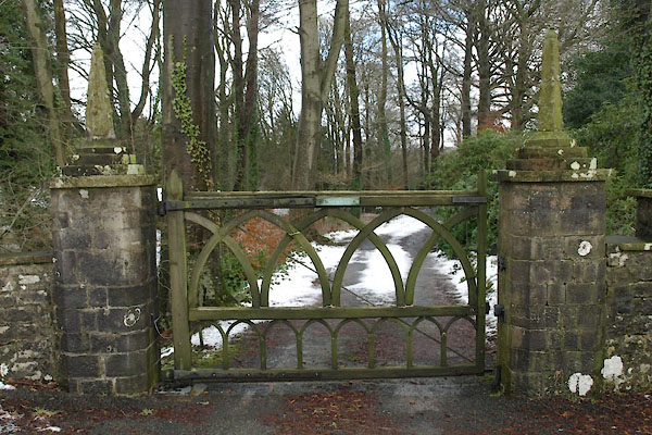
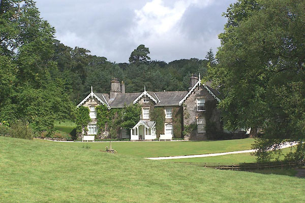 BMJ70.jpg (taken 11.7.2006) 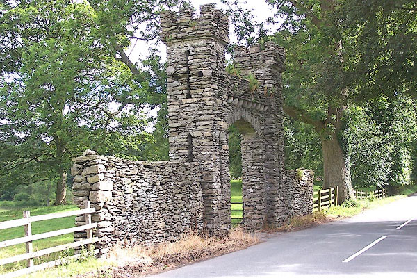 BMJ71.jpg Gateway to the hall. (taken 11.7.2006) |
||
|
|
||
| evidence:- | old map:- OS County Series (Wmd 33 15) placename:- Tolson Hall |
|
| source data:- | Maps, County Series maps of Great Britain, scales 6 and 25
inches to 1 mile, published by the Ordnance Survey, Southampton,
Hampshire, from about 1863 to 1948. |
|
|
|
||
| evidence:- | old map:- Jefferys 1770 (Wmd) placename:- Townson Hall |
|
| source data:- | Map, 4 sheets, The County of Westmoreland, scale 1 inch to 1
mile, surveyed 1768, and engraved and published by Thomas
Jefferys, London, 1770.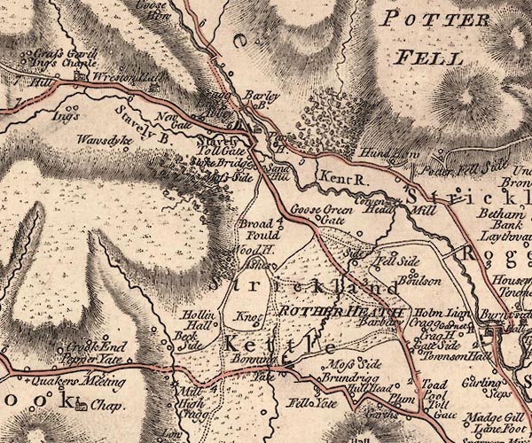 J5SD49NE.jpg "Townson Hall" circle, labelled in italic lowercase text; settlement, farm, house, or hamlet? item:- National Library of Scotland : EME.s.47 Image © National Library of Scotland |
|
|
|
||
 stained glass stained glass |
||
|
|
||
| evidence:- | database:- Listed Buildings 2010 placename:- Tolson Hall item:- date stone (1638); date stone (1639) |
|
| source data:- | courtesy of English Heritage "TOLSON HALL / / / STRICKLAND KETEL / SOUTH LAKELAND / CUMBRIA / II / 76417 / SD4968195421" |
|
|
|
||
| evidence:- | database:- Listed Buildings 2010 |
|
| source data:- | courtesy of English Heritage "GATEWAY TO SOUTH OF TOLSON HALL AND ATTACHED WALLS / / / STRICKLAND KETEL / SOUTH LAKELAND / CUMBRIA / II / 76418 / SD4995295355" |
|
| source data:- | courtesy of English Heritage "Gateway c.1800. Built as small folly in roughly cut limestone with embattled turrets, 4-centred arch with roughly cut voussoirs and crossed loop lights." |
|
|
|
||
 BXV78.jpg Gate, (taken 14.2.2013) 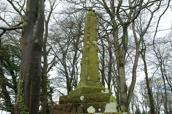 BXV79.jpg Gate, (taken 14.2.2013) |
||
|
|
||
| hearsay:- |
Built 1638 for Thomas Tolson, tobacco merchant. |
|
|
|
||
 Lakes Guides menu.