 |
 |
   |
|
|
|
Thwaite Hall |
| civil parish:- |
Mungrisdale (formerly Cumberland) |
| county:- |
Cumbria |
| locality type:- |
buildings |
| coordinates:- |
NY37483499 |
| 1Km square:- |
NY3734 |
| 10Km square:- |
NY33 |
|
|
|

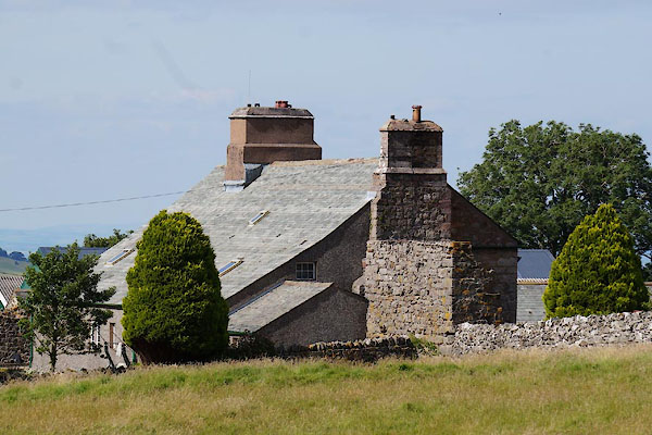
CDQ70.jpg (taken 12.8.2015)
|
|
|
| evidence:- |
old map:- OS County Series (Cmd 48 6)
placename:- Thwaite Hall
|
| source data:- |
Maps, County Series maps of Great Britain, scales 6 and 25
inches to 1 mile, published by the Ordnance Survey, Southampton,
Hampshire, from about 1863 to 1948.
|
|
|
| evidence:- |
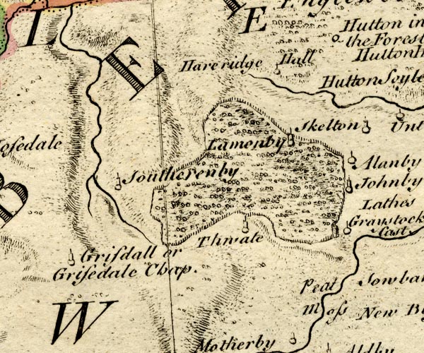
old map:- Bowen and Kitchin 1760
placename:- Thwate
|
| source data:- |
Map, hand coloured engraving, A New Map of the Counties of
Cumberland and Westmoreland Divided into their Respective Wards,
scale about 4 miles to 1 inch, by Emanuel Bowen and Thomas
Kitchin et al, published by T Bowles, Robert Sayer, and John
Bowles, London, 1760.

BO18NY33.jpg
"Thwate"
circle, tower
item:- Armitt Library : 2008.14.10
Image © see bottom of page
|
|
|
| evidence:- |
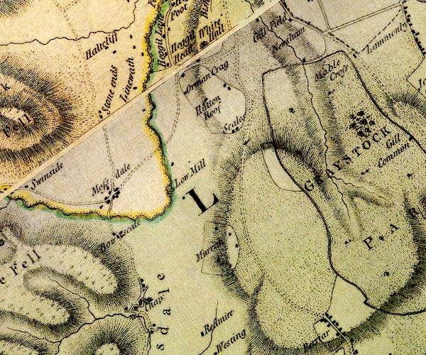
probably old map:- Donald 1774 (Cmd)
placename:- White Hall
|
| source data:- |
Map, hand coloured engraving, 3x2 sheets, The County of Cumberland, scale about 1
inch to 1 mile, by Thomas Donald, engraved and published by Joseph Hodskinson, 29
Arundel Street, Strand, London, 1774.

D4NY33SE.jpg
"White Hall"
house
item:- Carlisle Library : Map 2
Image © Carlisle Library |
|
|
| evidence:- |
database:- Listed Buildings 2010
placename:- Thwaite Hall
|
| source data:- |
courtesy of English Heritage
"THWAITE HALL / / / MUNGRISDALE / EDEN / CUMBRIA / II[star] / 73535 / NY3748834998"
|
|
|


 Lakes Guides menu.