 Old Cumbria Gazetteer
 |
 |
|
| Thornthwaite Crag, Kentmere | ||
| Thornthwaite Crag | ||
| civil parish:- | Kentmere (formerly Westmorland) | |
| civil parish:- | Lakes (formerly Westmorland) | |
| county:- | Cumbria | |
| locality type:- | rocks | |
| coordinates:- | NY43030989 (etc) | |
| 1Km square:- | NY4309 | |
| 10Km square:- | NY41 | |
|
|
||
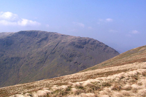 BQK98.jpg Stony Cove Pike and Thornthwaite Crag. (taken 16.4.2009) 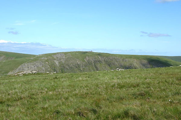 CDO72.jpg (taken 9.7.2015) |
||
|
|
||
| evidence:- | old map:- OS County Series (Wmd 19 12) placename:- Thornthwaite Crag |
|
| source data:- | Maps, County Series maps of Great Britain, scales 6 and 25
inches to 1 mile, published by the Ordnance Survey, Southampton,
Hampshire, from about 1863 to 1948. |
|
|
|
||
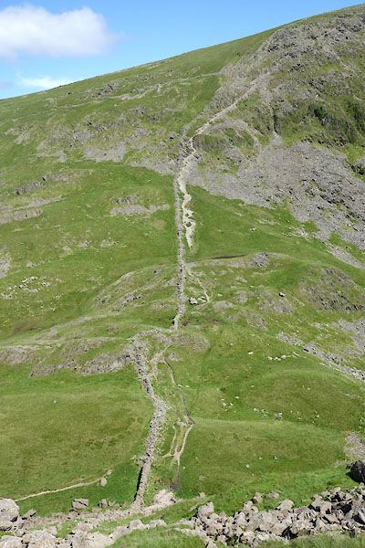 CDO62.jpg '... awful descent from' (taken 9.7.2015) |
||
|
|
||
 Lakes Guides menu.