 Old Cumbria Gazetteer
 |
 |
|
| Temple Sowerby Station, Temple Sowerby | ||
| Temple Sowerby Station | ||
| site name:- | Eden Valley Railway | |
| civil parish:- | Temple Sowerby (formerly Westmorland) | |
| county:- | Cumbria | |
| locality type:- | railway station (ex) | |
| locality type:- | buildings | |
| coordinates:- | NY61312600 | |
| 1Km square:- | NY6126 | |
| 10Km square:- | NY62 | |
| SummaryText:- | Opened 1862; closed 1953. | |
|
|
||
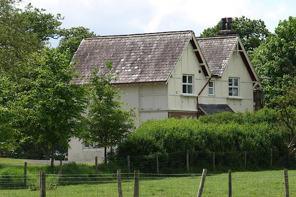 BSV29.jpg (taken 2.6.2010) |
||
|
|
||
| evidence:- | old map:- OS County Series (Wmd 8 4) placename:- Temple Sowerby Station item:- railway signal; railway milepost; weighing machine; cattle pens |
|
| source data:- | Maps, County Series maps of Great Britain, scales 6 and 25
inches to 1 mile, published by the Ordnance Survey, Southampton,
Hampshire, from about 1863 to 1948. click to enlarge click to enlargeCSRY0197.jpg "Temple Sowerby Station / S.P. / W.M. / M.P. / Cattle Pens / Coal Depot" |
|
|
|
||
 Lakes Guides menu.