 Old Cumbria Gazetteer
 |
 |
|
| Tarn Crag, Easedale | ||
| Tarn Crag | ||
| locality:- | Grasmere Common | |
| locality:- | Far Easedale | |
| locality:- | Easedale | |
| civil parish:- | Lakes (formerly Westmorland) | |
| county:- | Cumbria | |
| locality type:- | rocks | |
| locality type:- | hill | |
| coordinates:- | NY30320921 (etc) | |
| 1Km square:- | NY3009 | |
| 10Km square:- | NY30 | |
| altitude:- | 1801 feet | |
| altitude:- | 549m | |
|
|
||
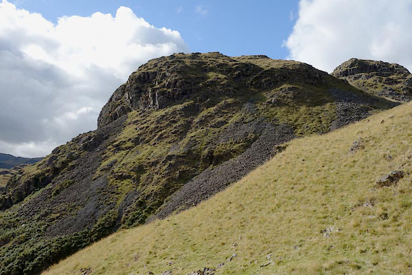 CBU22.jpg (taken 24.9.2014) 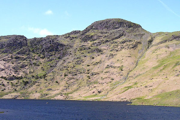 BNR35.jpg (taken 22.5.2007) |
||
|
|
||
| evidence:- | old map:- OS County Series (Wmd 18 15) placename:- Tarn Crag |
|
| source data:- | Maps, County Series maps of Great Britain, scales 6 and 25
inches to 1 mile, published by the Ordnance Survey, Southampton,
Hampshire, from about 1863 to 1948. |
|
|
|
||
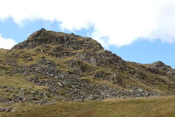 CBU20.jpg The highest bit. (taken 24.9.2014) 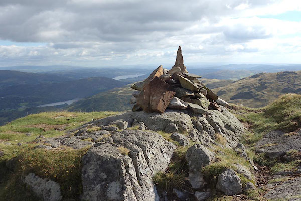 CBU21.jpg Cairn on the high bit, (taken 24.9.2014) 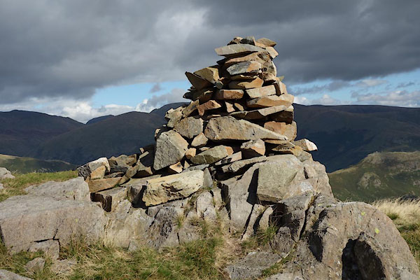 CBU23.jpg Cairn, (taken 24.9.2014) 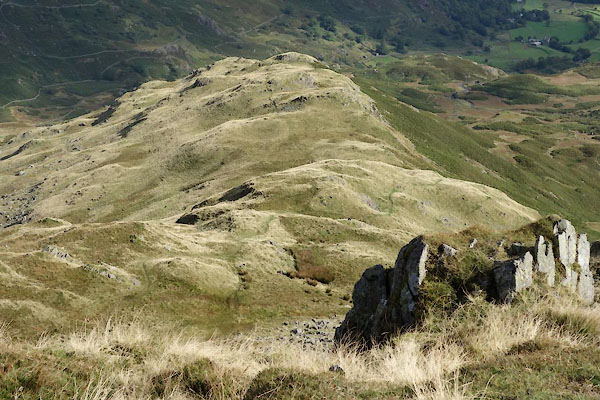 CBU24.jpg East ridge. (taken 24.9.2014) 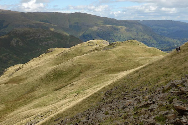 CBU25.jpg East ridge. (taken 24.9.2014) |
||
|
|
||
 Lakes Guides menu.