 Old Cumbria Gazetteer
 |
 |
|
| Swindale Common, Shap Rural | ||
| Swindale Common | ||
| locality:- | Swindale | |
| civil parish:- | Shap Rural (formerly Westmorland) | |
| county:- | Cumbria | |
| locality type:- | common | |
| coordinates:- | NY51121136 (etc) | |
| 1Km square:- | NY5113 | |
| 10Km square:- | NY51 | |
|
|
||
| evidence:- | old map:- OS County Series (Wmd 20 7) placename:- Swindale Common |
|
| source data:- | Maps, County Series maps of Great Britain, scales 6 and 25
inches to 1 mile, published by the Ordnance Survey, Southampton,
Hampshire, from about 1863 to 1948. |
|
|
|
||
| evidence:- | perhaps old print:- Clarke 1787 placename:- Bampton Fells |
|
| source data:- | circles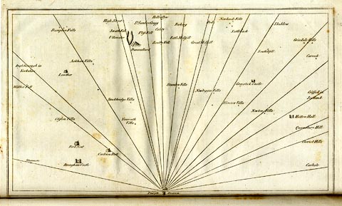 click to enlarge click to enlargeCL18.jpg "Bampton Fells" item:- Armitt Library : A6615.12 Image © see bottom of page |
|
|
|
||
 Lakes Guides menu.