 Old Cumbria Gazetteer
 |
 |
|
| Stool End, Great Langdale | ||
| Stool End | ||
| civil parish:- | Lakes (formerly Westmorland) | |
| county:- | Cumbria | |
| locality type:- | buildings | |
| coordinates:- | NY27670570 | |
| 1Km square:- | NY2705 | |
| 10Km square:- | NY20 | |
|
|
||
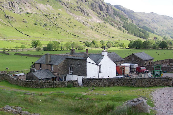 BUP68.jpg (taken 19.5.2011) |
||
|
|
||
| evidence:- | old map:- OS County Series (Wmd 25 6) placename:- Stool End |
|
| source data:- | Maps, County Series maps of Great Britain, scales 6 and 25
inches to 1 mile, published by the Ordnance Survey, Southampton,
Hampshire, from about 1863 to 1948. |
|
|
|
||
| evidence:- | old map:- Jefferys 1770 (Wmd) placename:- Style End |
|
| source data:- | Map, 4 sheets, The County of Westmoreland, scale 1 inch to 1
mile, surveyed 1768, and engraved and published by Thomas
Jefferys, London, 1770.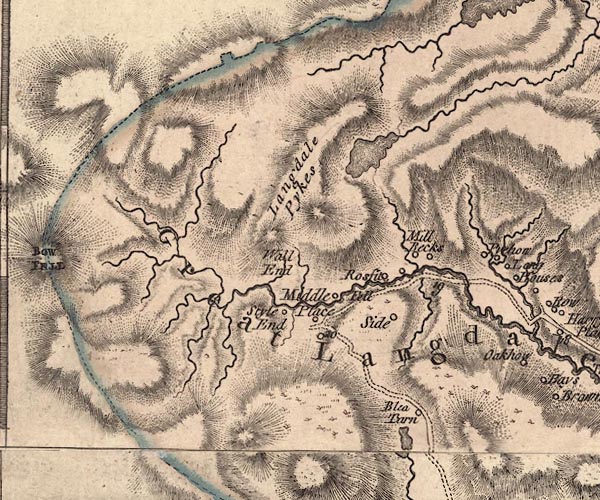 J5NY20NE.jpg "Style End" circle, labelled in italic lowercase text; settlement, farm, house, or hamlet? item:- National Library of Scotland : EME.s.47 Image © National Library of Scotland |
|
|
|
||
| evidence:- | old map:- Cary 1789 (edn 1805) placename:- Style End |
|
| source data:- | Map, uncoloured engraving, Westmoreland, scale about 2.5 miles
to 1 inch, by John Cary, London, 1789; edition 1805.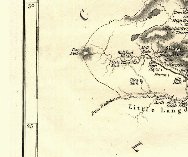 CY24NY20.jpg "Style End" block/s, labelled in italic lowercase; house, or hamlet item:- JandMN : 129 Image © see bottom of page |
|
|
|
||
| evidence:- | database:- Listed Buildings 2010 placename:- Stool End Farm |
|
| source data:- | courtesy of English Heritage "STOOL END FARMHOUSE / / / LAKES / SOUTH LAKELAND / CUMBRIA / II / 452288 / NY2767205716" |
|
|
|
||
| MN photo:- |
Stool End Farm, smit mark a red pop on top of couplings. Also blue on shoulders for
a wether, but these are yews, not tups. |
|
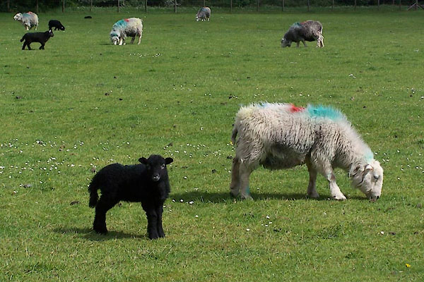 BUP69.jpg (taken 19.5.2011) 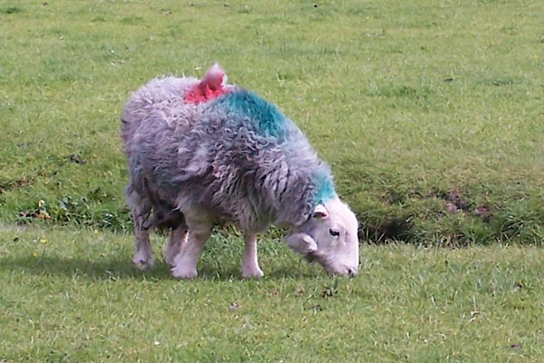 BUP70.jpg (taken 19.5.2011) |
||
|
|
||
 Lakes Guides menu.