 Old Cumbria Gazetteer
 |
 |
|
| Stone Arthur, Lakes | ||
| Stone Arthur | ||
| Arthur's Chair | ||
| locality:- | Rydal Fell (?) | |
| civil parish:- | Lakes (formerly Westmorland) | |
| county:- | Cumbria | |
| locality type:- | rocks | |
| coordinates:- | NY34830918 (etc) | |
| 1Km square:- | NY3409 | |
| 10Km square:- | NY30 | |
|
|
||
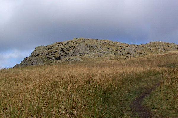 BRS27.jpg (taken 7.10.2009)  BRS28.jpg (taken 7.10.2009)  BRS30.jpg (taken 7.10.2009) 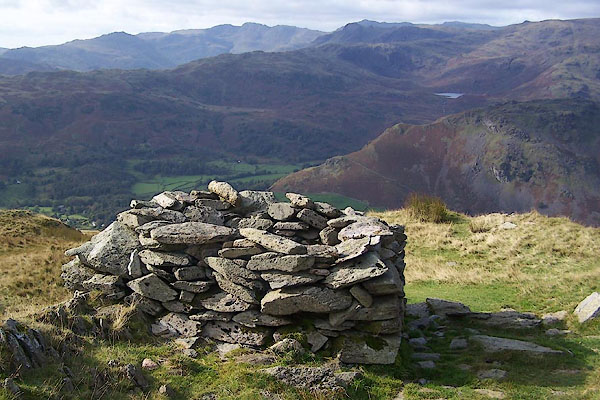 BRS29.jpg View west. (taken 7.10.2009) |
||
|
|
||
| evidence:- | old map:- OS County Series (Wmd 19 13) placename:- Stone Arthur |
|
| source data:- | Maps, County Series maps of Great Britain, scales 6 and 25
inches to 1 mile, published by the Ordnance Survey, Southampton,
Hampshire, from about 1863 to 1948. |
|
|
|
||
 Lakes Guides menu.