 Old Cumbria Gazetteer
 |
 |
|
| St Mary, Gilsland | ||
| St Mary's Church | ||
| Gilsland Church | ||
| locality:- | Gilsland | |
| civil parish:- | Waterhead (formerly Cumberland) | |
| county:- | Cumbria | |
| locality type:- | church | |
| coordinates:- | NY63366730 | |
| 1Km square:- | NY6367 | |
| 10Km square:- | NY66 | |
| references:- | : 2005: Diocese of Carlisle, Directory 2004/5 |
|
|
|
||
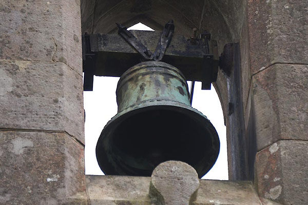
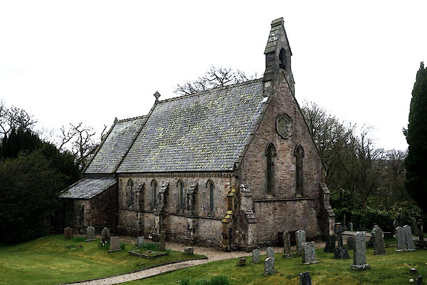 CCY94.jpg (taken 8.5.2015) 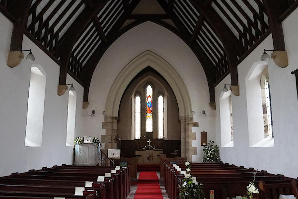 CCY95.jpg (taken 8.5.2015) |
||
|
|
||
| evidence:- | old map:- OS County Series (Cmd 13 5) placename:- St Mary's Church |
|
| source data:- | Maps, County Series maps of Great Britain, scales 6 and 25
inches to 1 mile, published by the Ordnance Survey, Southampton,
Hampshire, from about 1863 to 1948. "St. Mary's Church (Per Curacy) / Grave Yard" |
|
|
|
||
| evidence:- | old map:- Nurse 1918 |
|
| source data:- | Map, The Diocese of Carlisle, Cumberland, Westmorland, and
Lancashire North of the Sands, scale about 4 miles to 1 inch, by
Rev Euston J Nurse, published by Charles Thurnam and Sons, 11
English Street, Carlisle, Cumberland, 2nd edn 1939.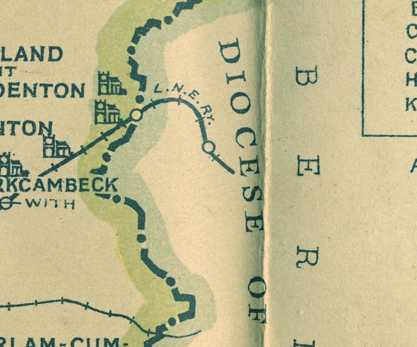 NUR1NY66.jpg "GILSLAND WIT[H] OVER DENTON" item:- JandMN : 27 Image © see bottom of page |
|
|
|
||
 CCZ02.jpg (taken 8.5.2015) |
||
|
|
||
 stained glass stained glass |
||
|
|
||
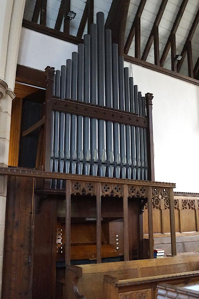 CCZ01.jpg Organ. (taken 8.5.2015) 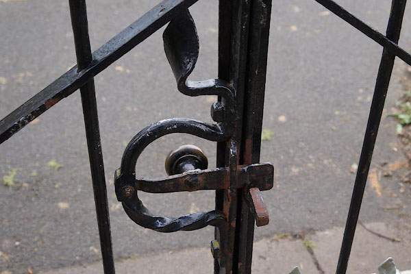 CCZ03.jpg Gate. (taken 8.5.2015) |
||
|
|
||
| :- |
Inside, the cover of the pulpit is a war memorial plaque to those who fell in World
War I. |
|
|
|
||
| dedication | ||
| person:- | : St Mary Magdalene |
|
| place:- | Gilsland / Carlisle Diocese | |
|
|
||
 Lakes Guides menu.