Old Cumbria Gazetteer
 |
 |
|
||
| Sleagill Beck | ||||
| runs into:- |  Newby Beck Newby Beck |
|||
|
|
||||
| Sleagill beck | ||||
| civil parish:- | Sleagill (formerly Westmorland) | |||
| county:- | Cumbria | |||
| locality type:- | river | |||
| 1Km square:- | NY5919 (etc) | |||
| 10Km square:- | NY51 | |||
|
|
||||
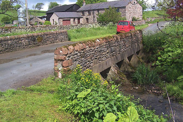
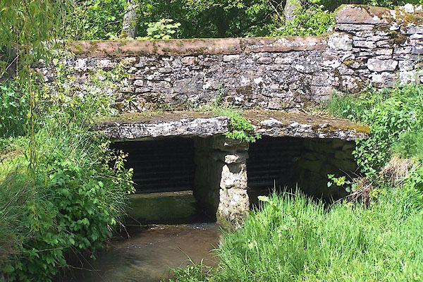
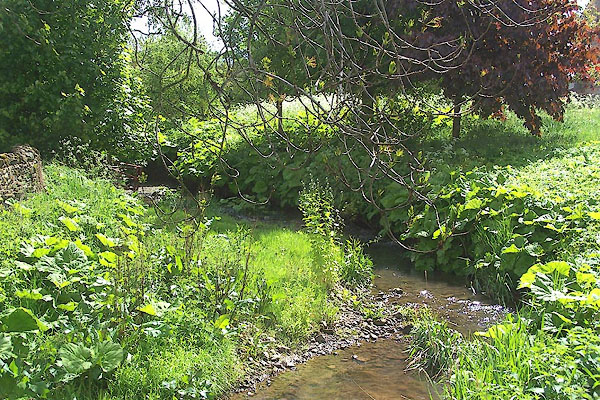 BMD17.jpg At the bridge in Sleagill. (taken 29.5.2006) 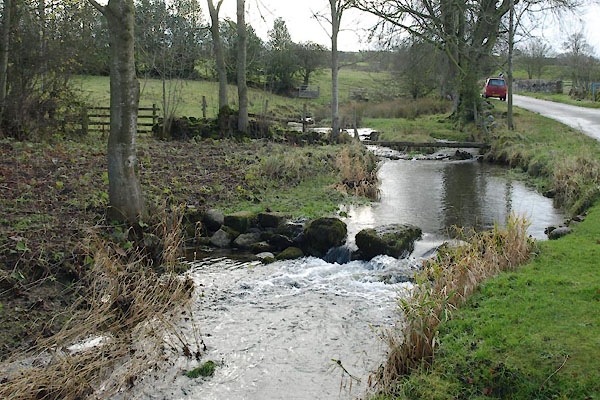 BVS89.jpg (taken 2.12.2011) |
||||
|
|
||||
| evidence:- | old map:- OS County Series (Wmd 14 3) placename:- Sleagill Beck |
|||
| source data:- | Maps, County Series maps of Great Britain, scales 6 and 25
inches to 1 mile, published by the Ordnance Survey, Southampton,
Hampshire, from about 1863 to 1948. |
|||
|
|
||||
| places:- |
|
|||
|
||||
Lakes Guides menu.