 Old Cumbria Gazetteer
 |
 |
|
| Skill Beck | ||
| runs into:- |  Bassenthwaite Lake Bassenthwaite Lake |
|
|
|
||
| civil parish:- | Bassenthwaite (formerly Cumberland) | |
| civil parish:- | Underskiddaw (formerly Cumberland) | |
| county:- | Cumbria | |
| locality type:- | river | |
| 1Km square:- | NY2328 (etc) | |
| 10Km square:- | NY22 | |
|
|
||
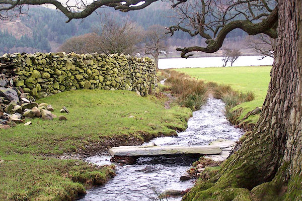 BLO41.jpg Beside St Bega's down to Bassenthwaite Lake. (taken 20.1.2006) |
||
|
|
||
| evidence:- | old map:- OS County Series (Cmd 56 9) placename:- Skill Beck |
|
| source data:- | Maps, County Series maps of Great Britain, scales 6 and 25
inches to 1 mile, published by the Ordnance Survey, Southampton,
Hampshire, from about 1863 to 1948. |
|
|
|
||
| evidence:- | old map:- Donald 1774 (Cmd) |
|
| source data:- | Map, hand coloured engraving, 3x2 sheets, The County of Cumberland, scale about 1
inch to 1 mile, by Thomas Donald, engraved and published by Joseph Hodskinson, 29
Arundel Street, Strand, London, 1774.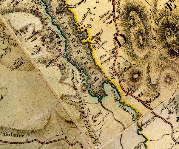 D4NY22NW.jpg single or double wiggly line; a river item:- Carlisle Library : Map 2 Image © Carlisle Library |
|
|
|
||
| evidence:- | probably old map:- Clarke 1787 map (Bassenthwaite Lake) placename:- Hensom Gill Beck |
|
| source data:- | Map, A Map of Broadwater and its Environs, ie Bassenthwaite
Lake, scale about 6.5 ins to 1 mile, by James Clarke, engraved
by Neele, 352 Strand, published by James Clarke, Penrith,
Cumberland and in London etc, 1787.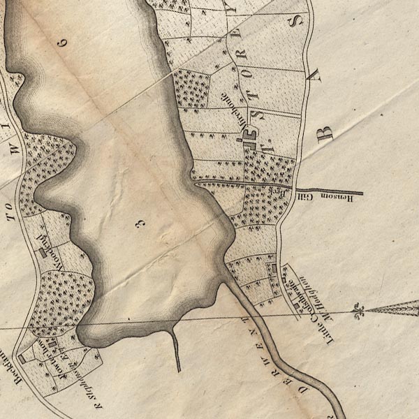 CL8NY22I.jpg "Hensom Gill Beck" item:- private collection : 10.8 Image © see bottom of page |
|
|
|
||
Lakes Guides menu.