 Old Cumbria Gazetteer
 |
 |
|
| Silloth Lifeboat, Silloth | ||
| Silloth Lifeboat Station | ||
| locality:- | Silloth | |
| civil parish:- | Silloth-on-Solway (formerly Cumberland) | |
| county:- | Cumbria | |
| locality type:- | lifeboat station | |
| coordinates:- | NY10675370 | |
| 1Km square:- | NY1053 | |
| 10Km square:- | NY15 | |
|
|
||
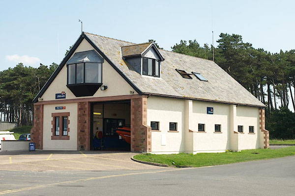 BPN25.jpg (taken 26.7.2008)  BPN29.jpg RNLI sign. (taken 26.7.2008) |
||
|
|
||
| evidence:- | old map:- OS County Series (Cmd 20 11) |
|
| source data:- | Maps, County Series maps of Great Britain, scales 6 and 25
inches to 1 mile, published by the Ordnance Survey, Southampton,
Hampshire, from about 1863 to 1948. "Lifeboat Station" |
|
|
|
||
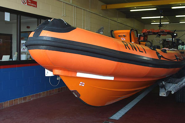 BPN26.jpg (taken 26.7.2008) 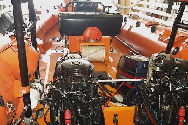 BPN27.jpg (taken 26.7.2008) 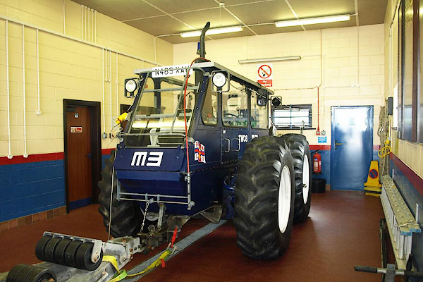 BPN28.jpg (taken 26.7.2008) 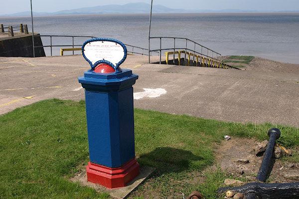 BPN30.jpg Slipway. (taken 26.7.2008) 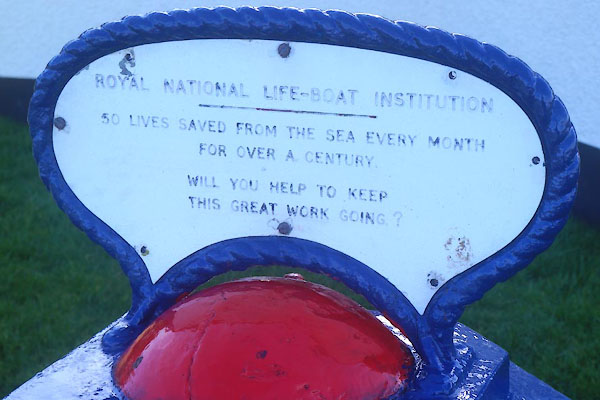 CFX19.jpg RNLI collecting box. (taken 7.3.2017) |
||
|
|
||
 Lakes Guides menu.