 Old Cumbria Gazetteer
 |
 |
|
| Silecroft Station, Millom Without | ||
| Silecroft Station | ||
| site name:- | Whitehaven and Furness Junction Railway | |
| locality:- | Silecroft | |
| civil parish:- | Millom Without (formerly Cumberland) | |
| county:- | Cumbria | |
| locality type:- | railway station | |
| locality type:- | level crossing | |
| coordinates:- | SD13108196 | |
| 1Km square:- | SD1381 | |
| 10Km square:- | SD18 | |
| SummaryText:- | Opened 1850. | |
|
|
||
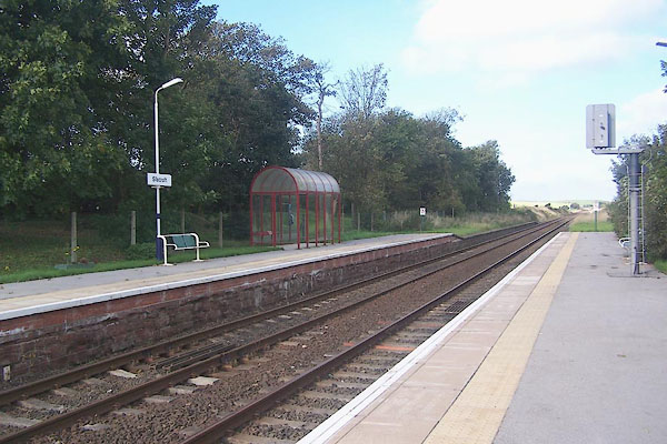 BMS73.jpg (taken 30.9.2006) 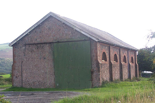 BMS79.jpg Goods shed. (taken 30.9.2006) |
||
|
|
||
| evidence:- | old map:- OS County Series (Cmd 88) |
|
| source data:- | Maps, County Series maps of Great Britain, scales 6 and 25
inches to 1 mile, published by the Ordnance Survey, Southampton,
Hampshire, from about 1863 to 1948. "Railway Station / Coal Depot / Weighing Machine" |
|
|
|
||
| evidence:- | old map:- Garnett 1850s-60s H placename:- Silecroft Station |
|
| source data:- | Map of the English Lakes, in Cumberland, Westmorland and
Lancashire, scale about 3.5 miles to 1 inch, published by John
Garnett, Windermere, Westmorland, 1850s-60s.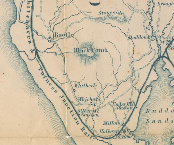 GAR2SD18.jpg "Silecroft Station" dot by railway item:- JandMN : 82.1 Image © see bottom of page |
|
|
|
||
| evidence:- | probably old map:- Post Office 1850s-1900s placename:- Silecroft |
|
| source data:- | Post road maps, General Post Office Circulation Map for England
and Wales, for the General Post Office, London, 1850s-1900s. click to enlarge click to enlargePOF7Cm.jpg "Silecroft" map date 1909 |
|
|
|
||
| evidence:- | probably old map:- Post Office 1850s-1900s placename:- Silecroft |
|
| source data:- | Post road maps, General Post Office Circulation Map for England
and Wales, for the General Post Office, London, 1850s-1900s. click to enlarge click to enlargePF10Cm.jpg "Silecroft" map date 1892 |
|
|
|
||
| evidence:- | probably old map:- Post Office 1850s-1900s placename:- Silecroft |
|
| source data:- | Post road maps, General Post Office Circulation Map for England
and Wales, for the General Post Office, London, 1850s-1900s. click to enlarge click to enlargePOF2Cm.jpg "Silecroft" map date 1890 |
|
|
|
||
| evidence:- | old map:- Post Office 1850s-1900s placename:- Sylecroft Station |
|
| source data:- | Post road maps, General Post Office Circulation Map for England
and Wales, for the General Post Office, London, 1850s-1900s. click to enlarge click to enlargePOF8Cm.jpg "Sylecroft Stn." map date 1873 |
|
|
|
||
| :- |
images courtesy of the British Postal Museum and Hampshire CC Museums |
|
|
|
||
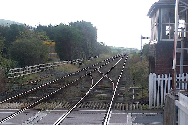 BMS74.jpg View S. (taken 30.9.2006) 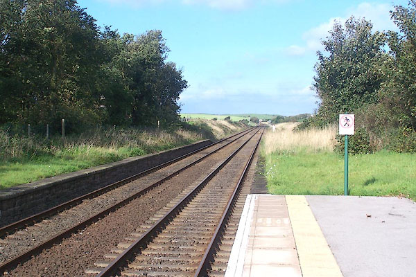 BMS75.jpg View N. (taken 30.9.2006) 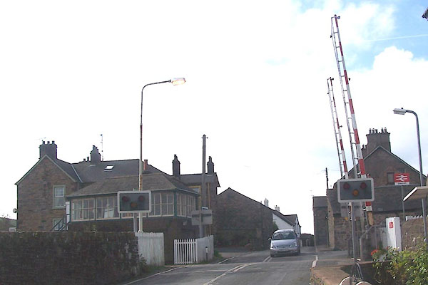 BMS76.jpg Level crossing (taken 30.9.2006) 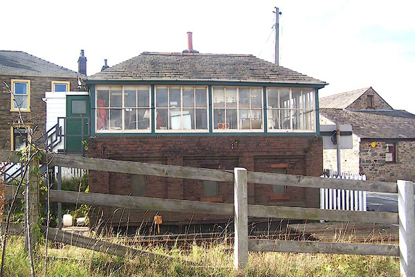 BMS77.jpg Signal box. (taken 30.9.2006) 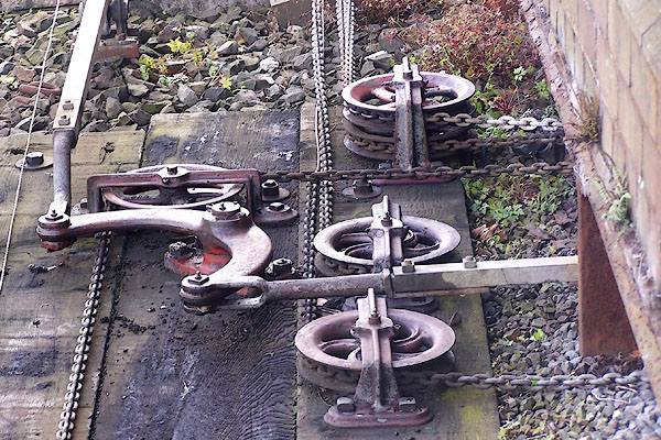 BMS78.jpg Pulleys and cranks. (taken 30.9.2006) |
||
|
|
||
 Lakes Guides menu.