


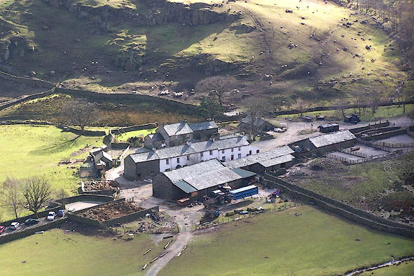
BNG40.jpg (taken 26.2.2007)
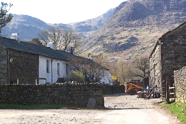
BLY05.jpg (taken 24.4.2006)
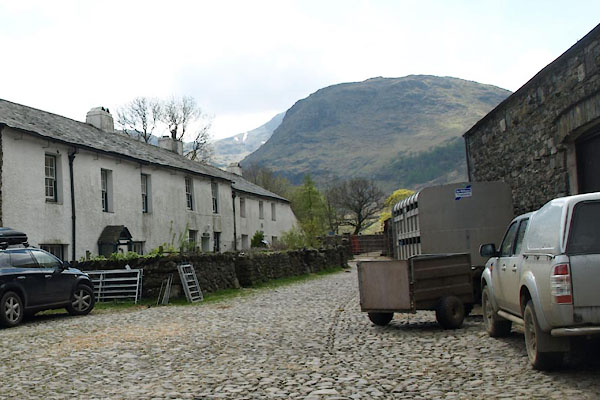
BYH95.jpg (taken 17.5.2013)
placename:- Seathwaite
placename:- Seathwayte
 goto source
Gentleman's Magazine 1751 p.53 "... got to Seathwayte, were chearfully regaled by an honest farmer in his puris naturalibus, returned to Keswic ..."
placename:- Seathwayte
 goto source
Gentleman's Magazine 1751 p.53 "... got to Seathwayte, were chearfully regaled by an honest farmer in his puris naturalibus, returned to Keswic ..."
placename:- Seawhaite
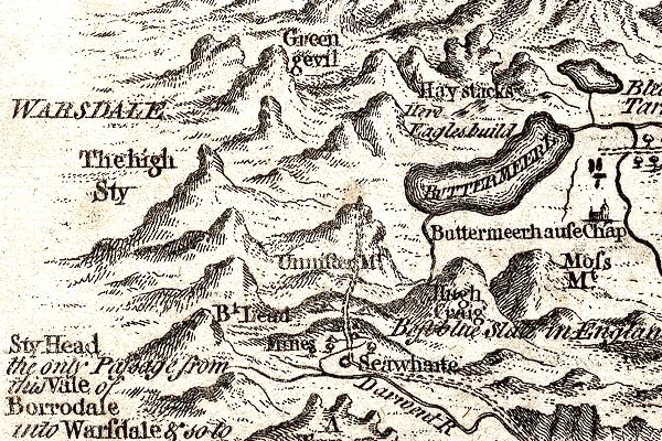
GM1305.jpg
"Seawhaite"
circle; village
item:- JandMN : 114
Image © see bottom of page
placename:- Seathwaite
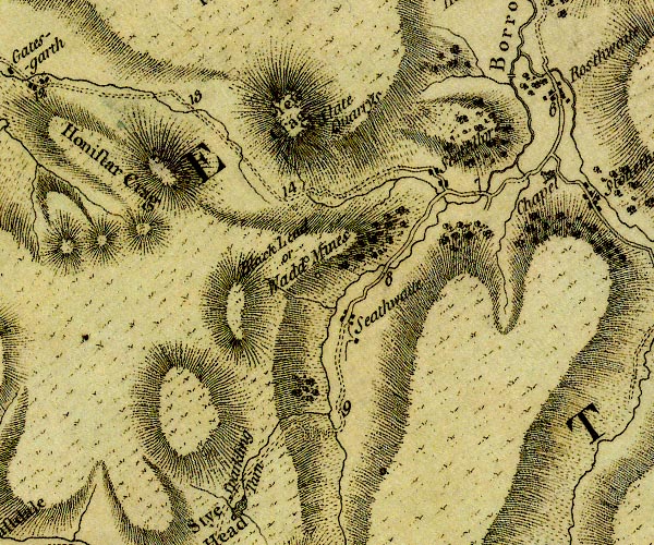
D4NY21SW.jpg
"Seathwaite"
block or blocks, labelled in lowercase; a hamlet or just a house
item:- Carlisle Library : Map 2
Image © Carlisle Library
 goto source
Addendum; Mr Gray's Journal, 1769
Page 205:- "... The dale opens about four miles higher, till you come to Seathwaite, where lies the way, mounting the hill to the right, that leads to the wad-mines; all farther access is here barred to prying mortals, only there is a little path winding over the fells, and for some weeks in the year passable to the dalesmen; but the mountains know well that these innocent people will not reveal the mysteries of their ancient kingdom, 'the reign Chaos and Old Night,' only I learned that this dreadful road, divided again, leads one branch to Ravenglass, and the other to Hawkshead."
placename:- Seathwaite
 click to enlarge
Lw18.jpg
"Seathwaite"
village or other place
item:- private collection : 18.18
Image © see bottom of page
placename:- Seathwaite
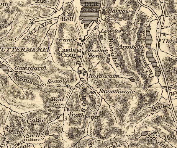
OT02NY21.jpg
item:- JandMN : 48.1
Image © see bottom of page
placename:- Seathwaite
 click to enlarge
HA14.jpg
"Seathwaite"
circle, italic lowercase text; settlement
item:- JandMN : 91
Image © see bottom of page
placename:- Seathwaite
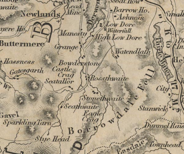
FD02NY21.jpg
"Seathwaite"
item:- JandMN : 100.1
Image © see bottom of page
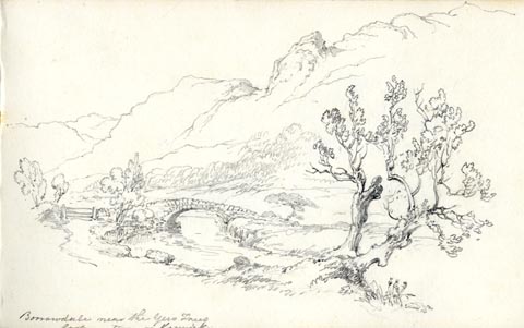 click to enlarge
AS0538.jpg
"Borrowdale near the Yew Trees / looking towards Keswick."
page number "31"
item:- Armitt Library : 1958.389.38
Image © see bottom of page
placename:- Seathwaite
item:- rain
 goto source
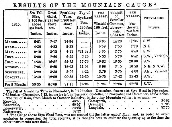
Page 5:- "At Seathwaite, there have been thirty-six days in which the quantity of measured rain was between one and two inches; six days between two and three inches; five days between three and four inches; one day between four and five inches; and one day between five and six inches."
"The Rain at Seathwaite on the 3rd and 4th of March, amounted to 6.86 inches; and on the 9th and 10th of Oct., the fall was upwards of 9 inches. On three days of the latter month, there fell 12.17 inches, so that if no part of the rain deposited in this period, had been absorbed by the ground, or carried off by the rivulets, the whole valley would have been covered with a sheet of water, more than a foot in depth."
"Of the total fall of Rain at Seathwaite in 1846 (143.518 inches), 103.24 inches fell to the share of January, February, March, July, August and October; the other six months, received much less than an average quantity. In November and December, 1845, there fell 45¾inches; in the corresponding months of 1846, the fall but slightly exceeds 17 inches."
"..."
"... whilst the Lake district stations generally, have received considerable more rain than in 1845, the deposit in the five wettest localities, is somewhat less than in the previous year."
 goto source
Page 8:-
MI02Tab3.jpg
 goto source
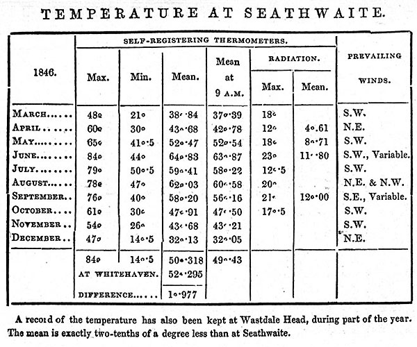
Page 11:-
MI02Tab4.jpg
 goto source
Page 116:- "... A party of tourists, among whom were two sisters, were on the heights, intending to cross Esk Hause into Borrowdale, and to spend the night at Seathwaite,- the first settlement there. Now there is, as we have seen, another Seathwaite on the Duddon; and mistakes frequently arise between them. On Esk Hause, one of the ladies lost sight of her party behind some of the rocks scattered among the tarns there, and took a turn to the right instead of the left. A shepherd of whom she inquired her way to Seathwaite, pointed down to the Duddon valley; and that way she went till she found herself at Cockley Beck, ..."
placename:- Seathwaite
 click to enlarge
PR1382.jpg
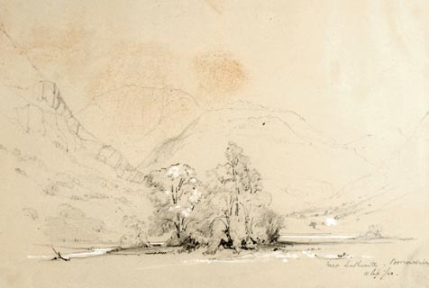
View near Seathwaite, Borrowdale. U shaped valley with group of trees in the centre and hills beyond. Executed in pencil with touches of white gouache on buff coloured paper. Preparatory sketch drawn on the spot by the artist.
at bottom right:- "near Seathwaite. Borrowdale. 11 Sep./40"
item:- Tullie House Museum : 2009.89.25
Image © Tullie House Museum
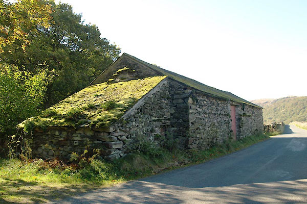 |
SD22479600 barn, Seathwaite (2) (Dunnerdale-with-Seathwaite) |
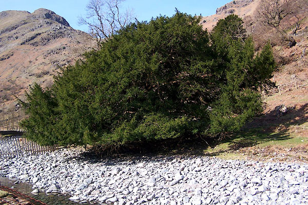 |
NY23641254 Borrowdale Yews (Borrowdale) |
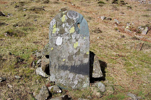 |
NY23231255 boundary stone, Seathwaite (Borrowdale) |
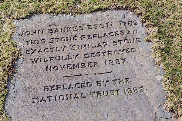 |
NY23351230 boundary stone, Seathwaite (2) (Borrowdale) |
 |
SD22829597 fence, Newfield (Dunnerdale-with-Seathwaite) |
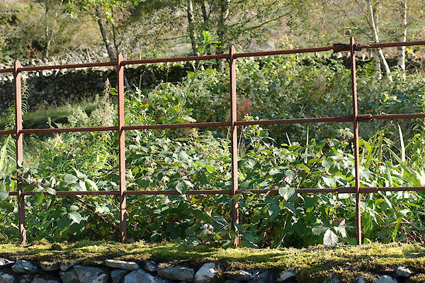 |
SD22869603 fence, Seathwaite (Dunnerdale-with-Seathwaite) |
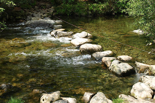 |
SD22829761 Fickle Steps (Dunnerdale-with-Seathwaite / Ulpha) |
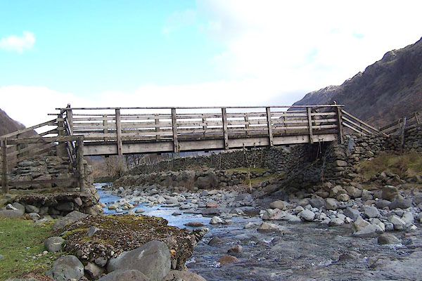 |
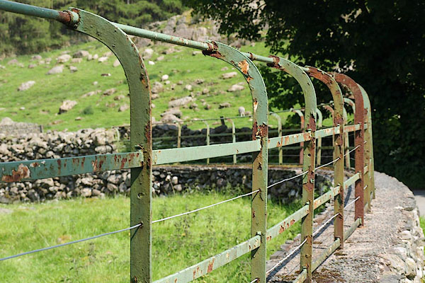
NY23341221 footbridge, Seathwaite (Borrowdale) |
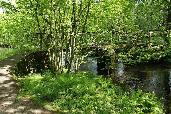 |
SD22589605 footbridge, Seathwaite (2) (Dunnerdale-with-Seathwaite) |
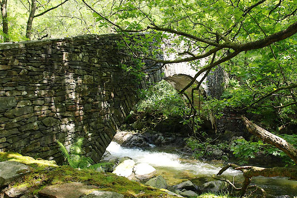 |
SD22429636 Memorial Bridge (Dunnerdale-with-Seathwaite) |
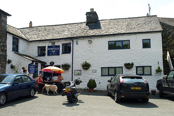 |
SD22779599 Newfield Inn (Dunnerdale-with-Seathwaite) |
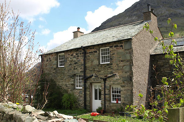 |
NY23571214 Raingauge Cottage (Borrowdale) |
 |
NY23661209 rock exposure, Seathwaite (Borrowdale) |
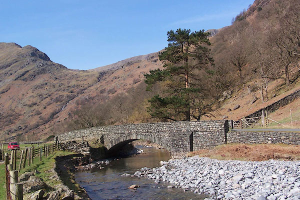 |
NY23951278 Seathwaite Bridge (Borrowdale) |
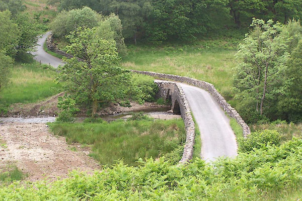 |
SD23199683 Seathwaite Bridge (Dunnerdale-with-Seathwaite / Ulpha) L |
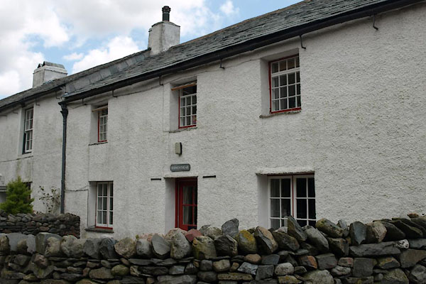 |
NY23531214 Seathwaite Cottage (Borrowdale) L |
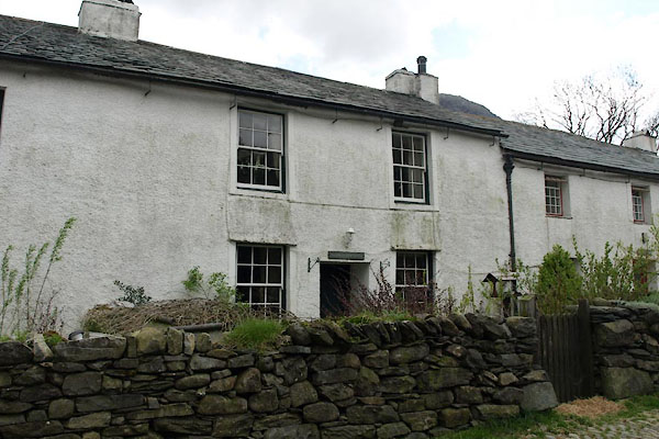 |
NY23531215 Seathwaite Farm Cottage (Borrowdale) L |
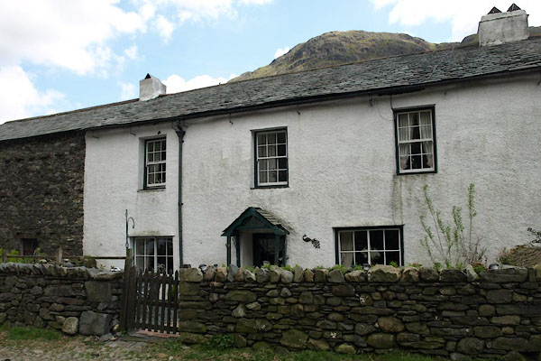 |
NY23541216 Seathwaite Farm (Borrowdale) L |
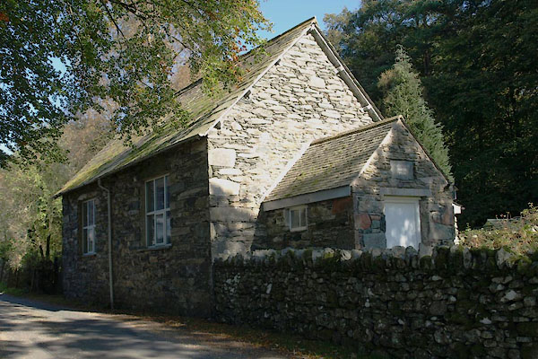 |
SD22909607 Seathwaite Parish Room (Dunnerdale-with-Seathwaite) |
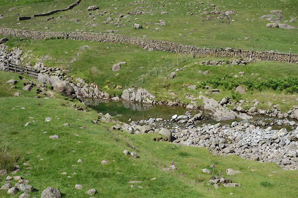 |
NY23451137 sheep wash, Borrowdale (Borrowdale) |
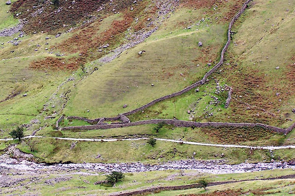 |
NY23491103 sheepfold, Borrowdale (5) (Borrowdale) |
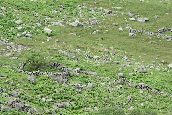 |
NY23131109 sheepfold, Borrowdale (17) (Borrowdale) |
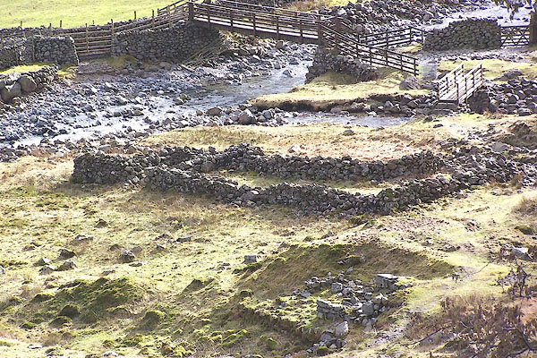 |
NY23341223 sheepfold, Seathwaite (Borrowdale) |
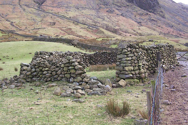 |
NY23471189 sheepfold, Seathwaite (2) (Borrowdale) |
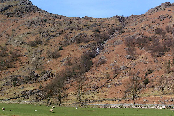 |
NY2212 Sour Milk Gill (Borrowdale) |
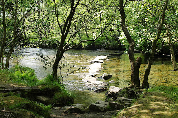 |
SD22389631 Wordsworth's Stepping Stones (Dunnerdale-with-Seathwaite / Ulpha) |
 |
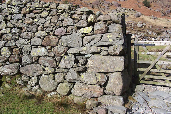
SD22529604 stepping stones, Seathwaite (2) (Dunnerdale-with-Seathwaite) |
 |
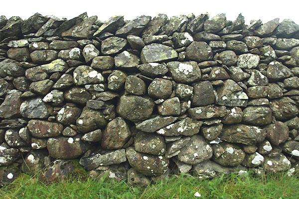
NY23331220 stone wall, Seathwaite (Borrowdale) |
 |
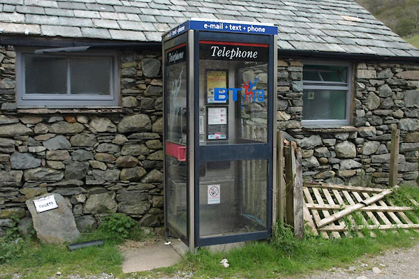
NY24801338 stone wall, Seathwaite (2) (Borrowdale) |
 |
NY23551215 telephone box, Seathwaite (Borrowdale) L |
 |
SD23309666 Under Crag (Dunnerdale-with-Seathwaite) L |
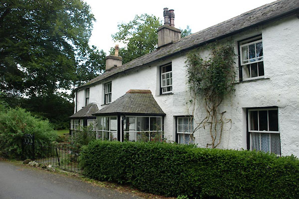 |
SD22889610 Walker House (Dunnerdale-with-Seathwaite) |
 |
NY2211 Wastdale Forest (Borrowdale) perhaps |
 |
NY230122 waterfall, Seathwaite Slabs (Borrowdale) |
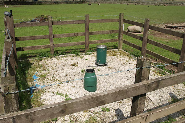 |
NY23571216 Seathwaite weather station (Borrowdale) |
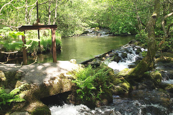 |
SD22919620 weir, Seathwaite (Dunnerdale-with-Seathwaite) |
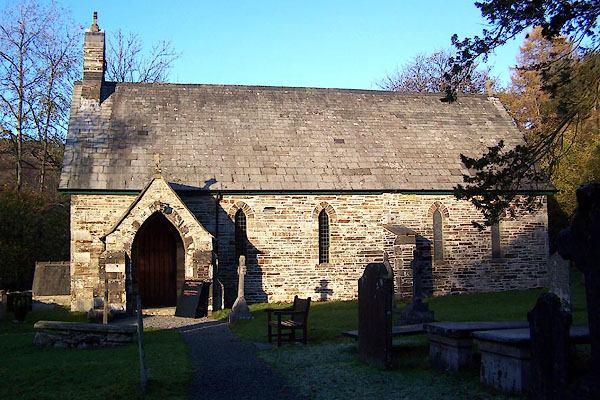 |
SD22919614 Holy Trinity Church (Dunnerdale-with-Seathwaite) L |
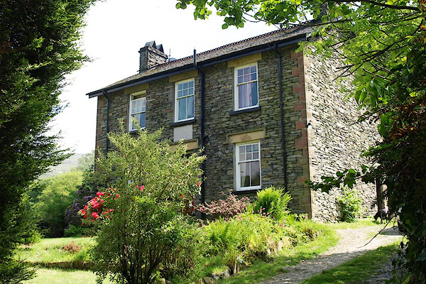 |
SD22639598 School House (Dunnerdale-with-Seathwaite) |
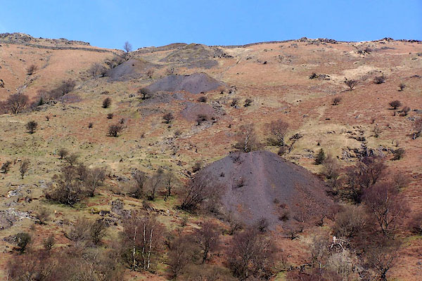 |
NY231127 Seathwaite Graphite Mine (Borrowdale) |
