button to main menu  Old Cumbria Gazetteer
Seat Sandal, Lakes
Seat Sandal
civil parish:-   Lakes (formerly Westmorland)
civil parish:-   Patterdale (formerly Westmorland)
county:-   Cumbria
locality type:-   hill
coordinates:-   NY34381151
1Km square:-   NY3411
10Km square:-   NY31
altitude:-   2382 feet
altitude:-   726m


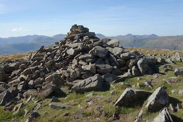
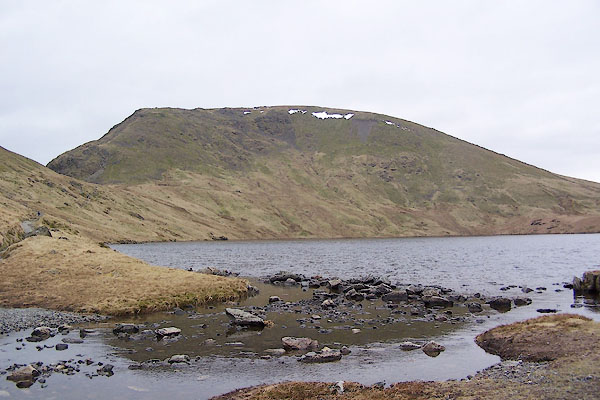
photograph
BQH17.jpg (taken 17.3.2009)  
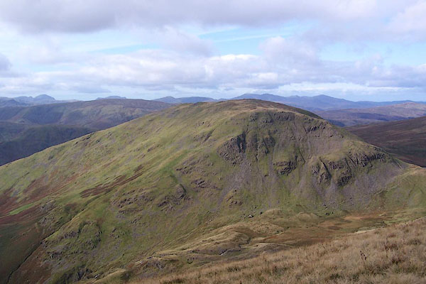
photograph
BRS35.jpg (taken 17.10.2009)  

evidence:-   old map:- OS County Series (Wmd 19 5) 
placename:-  Seat Sandal
source data:-   Maps, County Series maps of Great Britain, scales 6 and 25 inches to 1 mile, published by the Ordnance Survey, Southampton, Hampshire, from about 1863 to 1948.
OS County Series (Cmd 71 13) 

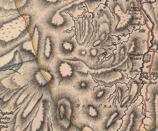
evidence:-   old map:- Jefferys 1770 (Wmd) 
source data:-   Map, 4 sheets, The County of Westmoreland, scale 1 inch to 1 mile, surveyed 1768, and engraved and published by Thomas Jefferys, London, 1770.
image
J5NY31SE.jpg
hill hachuring; hill or mountain 
item:-  National Library of Scotland : EME.s.47
Image © National Library of Scotland

evidence:-   descriptive text:- West 1778 (11th edn 1821) 
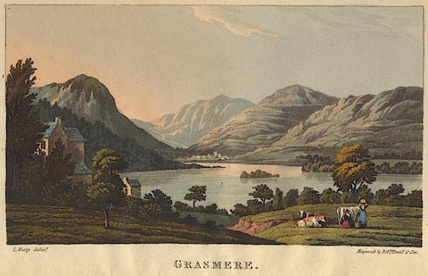
source data:-   Print, hand coloured engraving, Grasmere, Lakes, Westmorland, drawn by I Feary, engraved by Robert Havell and Son.
image WS21Fpce, button  goto source
Frontispiece 
image  click to enlarge
WS21F.jpg
"I. Feary delint. / Engraved by Robt. Havell &Son. / GRASMERE."
The hills appear to be Helm Crag on the left; the road to Keswick going up to Dunmail Raise; then Seat Sandal and the Helvellyn Range which in reality would only be visible from an elevated position; Great Rigg leading up to Fairfield; and part of Rydal fell to the right. 
item:-  Armitt Library : A1221.2
Image © see bottom of page

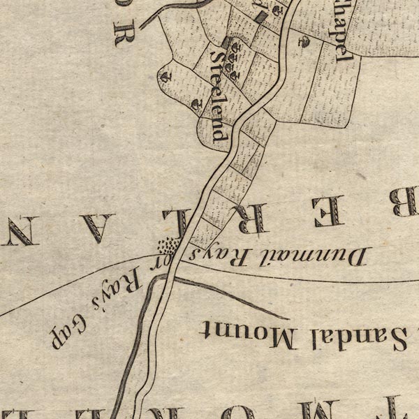
evidence:-   old map:- Clarke 1787 map (Ambleside to Keswick) 
placename:-  Seat Sandal Mount
source data:-   Map, A Map of the Roads Lakes etc between Keswick and Ambleside, scale about 2.5 ins to 1 mile, by James Clarke, engraved by S J Neele, 352 Strand, published by James Clarke, Penrith, Cumberland and in London etc, 1787.
image
CL9NY31A.jpg
"Seat Sandal Mount"
item:-  private collection : 10.9
Image © see bottom of page

evidence:-   outline view:- Otley 1823 (8th edn 1849) 
placename:-  Seat Sandal
source data:-   Engraving, outline view of mountains, Grasmere from Red Bank Head, drawn by T Binns, engraved by O Jewitt, opposite p.4 of A Descriptive Guide of the English Lakes, by Jonathan Otley, 8th edition, 1849.
image  click to enlarge
O80E04.jpg
item:-  Armitt Library : A1180.5
Image © see bottom of page
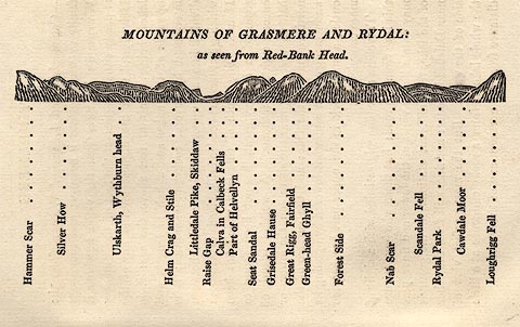
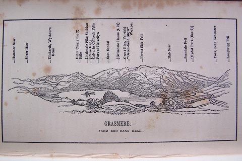
evidence:-   outline view:- Otley 1823 (5th edn 1834) 
source data:-   Print, woodcut outline view, The Mountains of Grasmere and Rydal, by Jonathan Otley, Keswick, Cumberland, 1830.
image  click to enlarge
OT2E03.jpg
Printed on p.15 of A Concise Description of the English Lakes, by Jonathan Otley, 5th edition, 1834.  "MOUNTAINS OF GRASMERE AND RYDAL: as seen from Red-Bank Head."
"Hammer Scar / Silver How / Ullskarth, Wythburn head / Helm Crag and Stile / Littledale Pike, Skiddaw / Raise Gap / Calva in Caldbeck Fells / Part of Helvellyn / Seat Sandal / Grisedale Hause / Great Rigg, Fairfield / Green-head Ghyll / Forest Side / Nab Scar / Scandale Fell / Rydal Park / Cawdale Moor / Loughrigg Fell"
item:-  JandMN : 48.4
Image © see bottom of page

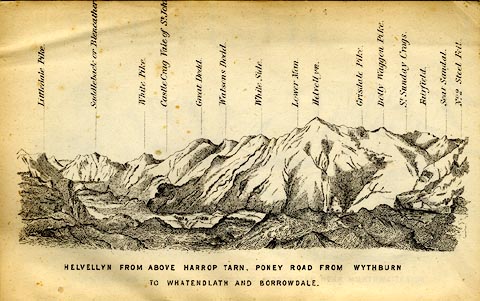
evidence:-   outline view:- Matthew 1866
placename:-  Seat Sandal
source data:-   Print, engraving, outline view, Helvellyn from above Harrop Tarn, Poney Road from Wythburn to Whatendlath and Borrowdale, Cumberland, published by J Richardson, Highgate, Kendal, Westmorland, 1866.
image  click to enlarge
MW1E02.jpg
Tipped in before p.1 of The English Lakes, Peaks and Passes, from Kendal to Keswick, by George King Matthew. 
printed at bottom:-  "HELVELLYN FROM ABOVE HARROP TARN, PONEY ROAD FROM WYTHBURN TO WHATENDLATH AND BORROWDALE."
printed at caption to mountains:-  "... Seat Sandal. ..."
item:-  Armitt Library : A1168.2
Image © see bottom of page

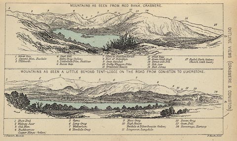
evidence:-   outline view:- Black 1856 (23rd edn 1900) 
placename:-  Seat Sandal
source data:-   Print, lithograph, Outline Views, Grasmere and Coniston - Mountains as seen from Redbank, Grasmere, and Mountains as seen a little beyond Tent Lodge on the Road from Coniston to Ulverstone, by J Flintoft, Keswick, Cumberland, engraved by R Mason, Edinburgh, Lothian, about 1900.
image  click to enlarge
BC08E3.jpg
"... 9 Seat Sandal ..."
item:-  JandMN : 37.12
Image © see bottom of page

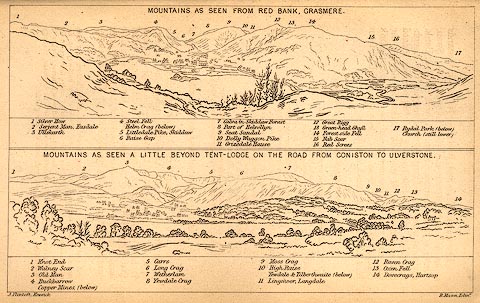
evidence:-   outline view:- Black 1841 (3rd edn 1846) 
placename:-  Seat Sandal
source data:-   Print, engraving, outline view, Mountains as seen from Red Bank, Grasmere, and Mountains as seen a little beyond Tent-Lodge on the Road from Coniston to Ulverston, by J Flintoft, Keswick, Cumberland, engraved by R Mason, Edinburgh, Lothian, about 1846.
image  click to enlarge
BC02E3.jpg
"... 9 Seat Sandal ..."
item:-  JandMN : 32.5
Image © see bottom of page
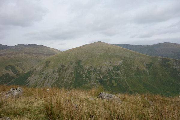

photograph
CBQ07.jpg (taken 8.9.2014)  
photograph
Click to enlarge
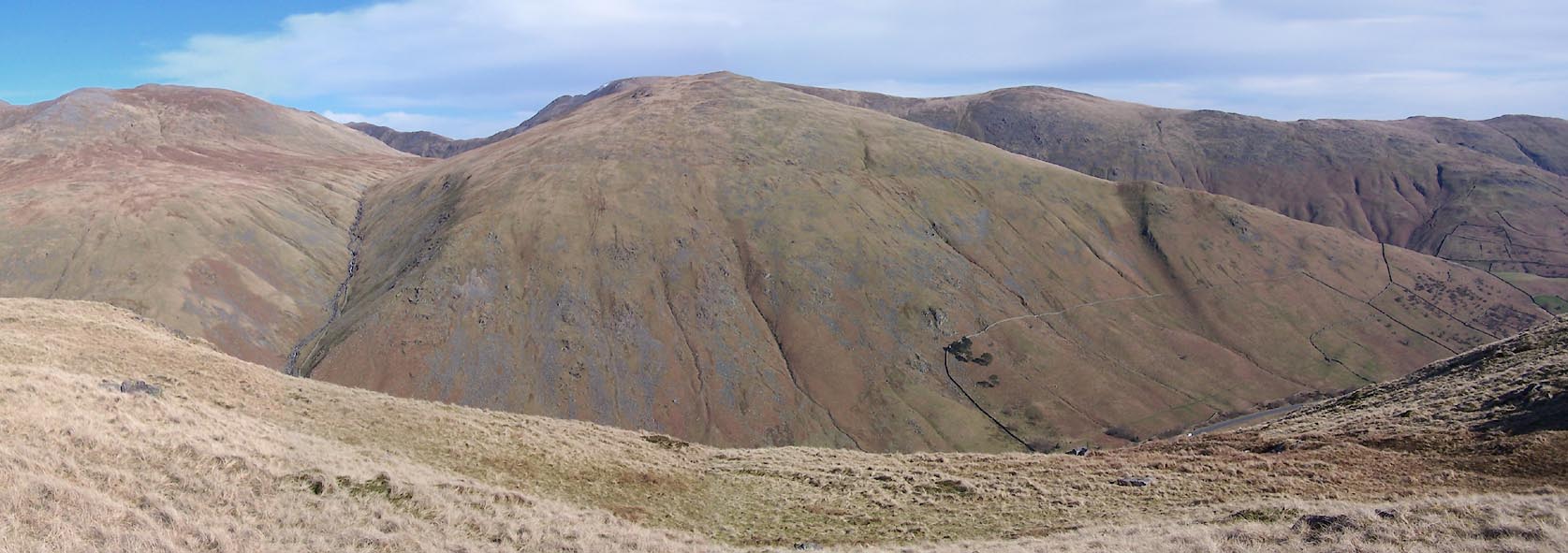
BUF73.jpg  from the West.
(taken 14.3.2011)  
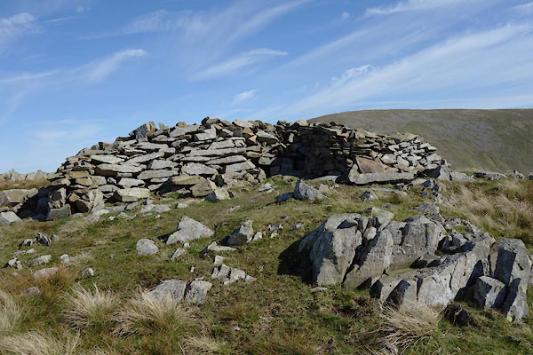
photograph
CDZ98.jpg  Shelter,
(taken 28.9.2015)  
photograph
CDZ99.jpg  Cairn, at summit,
(taken 28.9.2015)  
photograph
Click to enlarge
CEA01.jpg  Cairns, W of top,
(taken 28.9.2015)  
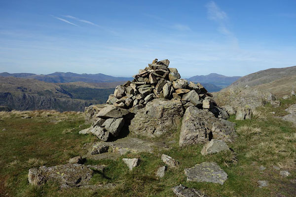
photograph
CEA02.jpg  Cairn, W of top,
(taken 28.9.2015)  
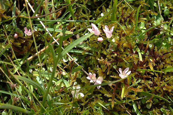
photograph
CEA07.jpg  Bog pimpernel, Anagallis tenella, at,
(taken 28.9.2015)  

button to lakes menu  Lakes Guides menu.