 |
 |
   |
|
|
|
Scales |
| civil parish:- |
Aldingham (formerly Lancashire) |
| county:- |
Cumbria |
| locality type:- |
locality |
| locality type:- |
buildings |
| coordinates:- |
SD27117229 (etc) |
| 1Km square:- |
SD2772 |
| 10Km square:- |
SD27 |
|
|
|
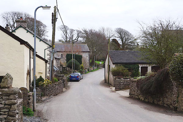
CAG74.jpg The Low Town end.
(taken 4.4.2014)
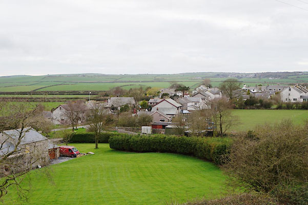
CAG87.jpg (taken 4.4.2014)
|
|
|
| evidence:- |
old map:- OS County Series (Lan 22 2)
placename:- Scales
|
| source data:- |
Maps, County Series maps of Great Britain, scales 6 and 25
inches to 1 mile, published by the Ordnance Survey, Southampton,
Hampshire, from about 1863 to 1948.
|
|
|
| evidence:- |
old map:- Ford 1839 map
placename:- Scales
|
| source data:- |
Map, uncoloured engraving, Map of the Lake District of
Cumberland, Westmoreland and Lancashire, scale about 3.5 miles
to 1 inch, published by Charles Thurnam, Carlisle, and by R
Groombridge, 5 Paternoster Row, London, 3rd edn 1843.
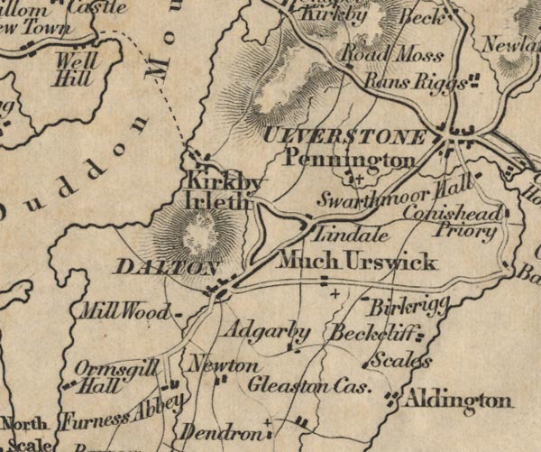
FD02SD27.jpg
"Scales"
item:- JandMN : 100.1
Image © see bottom of page
|
|
|
| places:- |
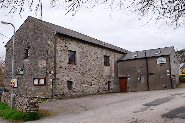 |
SD26917245 Aldingham Parish Hall (Aldingham) L |
|
|
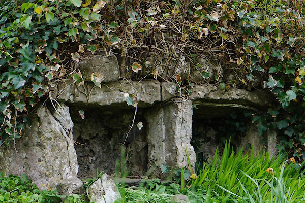 |
SD26957239 bee boles, Scales (Aldingham) |
|
|
 |
SD27827211 Bonfire Scar Cave (Aldingham) |
|
|
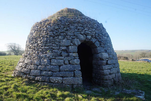 |
SD27107261 cock pit, Scales (Aldingham) L |
|
|
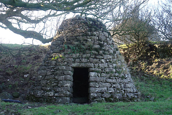 |
SD27127262 cock pit, Scales (2) (Aldingham) L |
|
|
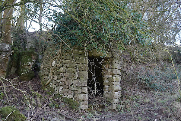 |
SD27207285 cock pit, Scales (3) (Aldingham) |
|
|
 |
SD26967240 Dale Garth (Aldingham) |
|
|
 |
SD27527240 Dobson's Cave (Aldingham) gone |
|
|
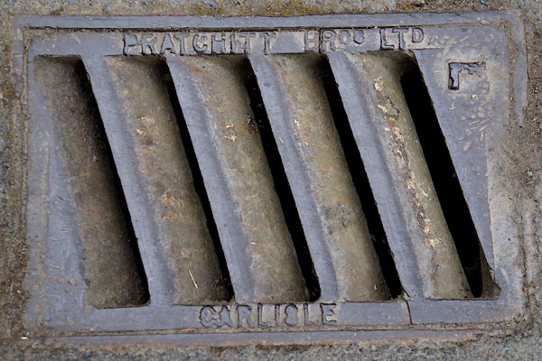 |
NY34352692 drain, Scales (Threlkeld) |
|
|
 |
NY1616 Far Ruddy Beck (Loweswater) |
|
|
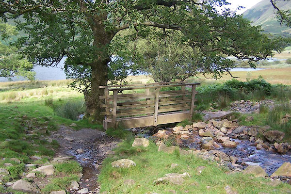 |
NY16331698 footbridge, Loweswater (2) (Loweswater) |
|
|
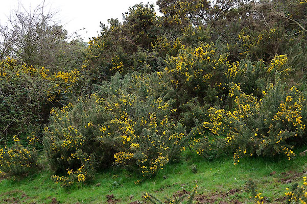 |
SD27577229 gorse bushes, Scales (Aldingham) |
|
|
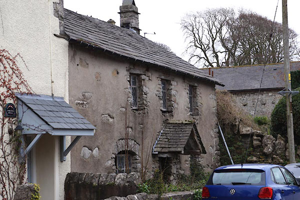 |
SD26877246 house, Scales (Aldingham) |
|
|
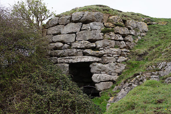 |
SD27617224 limekiln, Scales (Aldingham) L |
|
|
 |
SD26887264 limekiln, Scales (2) (Aldingham) |
|
|
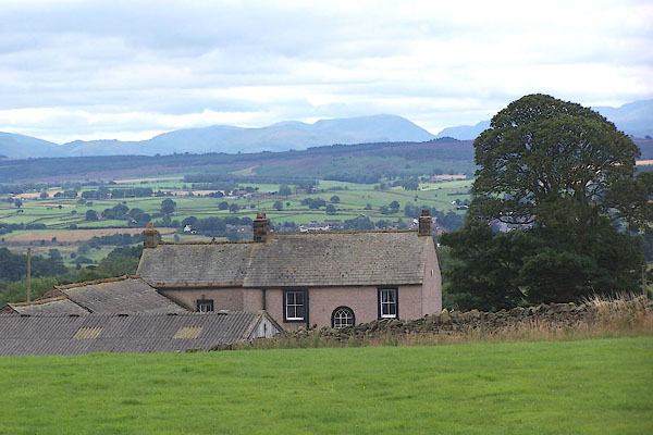 |
NY57094282 Low Scales (Kirkoswald) |
|
|
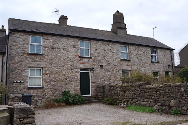 |
SD26847244 Low Town Farm (Aldingham) |
|
|
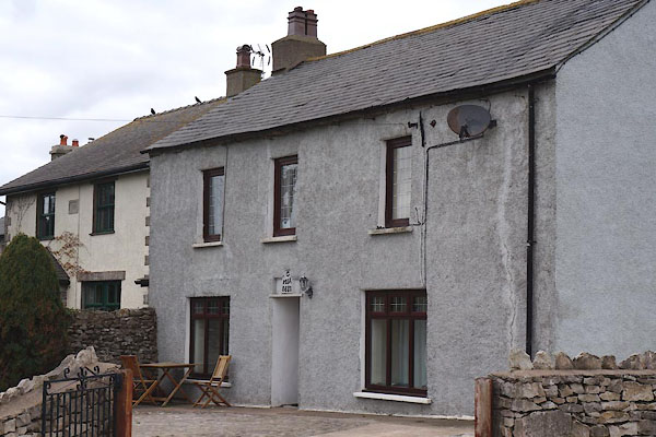 |
SD27157229 Old Farm House (Aldingham) |
|
|
 |
SD27497227 pinfold, Scales (Aldingham) |
|
|
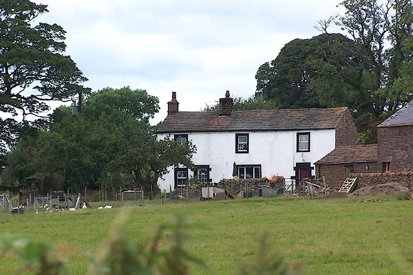 |
NY57564316 Scale Rigg (Kirkoswald) |
|
|
 |
NY18364608 Scales Demesne (Bromfield) |
|
|
 |
NY16662534 Scales Farm Cottage (Lorton) L |
|
|
 |
NY38073336 Scales Farm (Mungrisdale) |
|
|
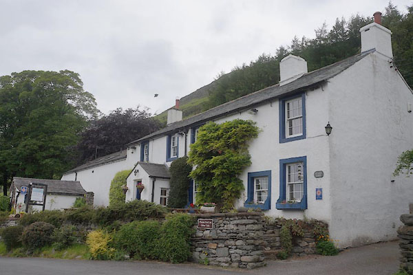 |
NY34282691 Scales Farm (Threlkeld) |
|
|
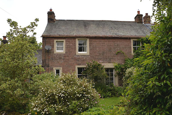 |
NY56994316 Scales Fold (Kirkoswald) L |
|
|
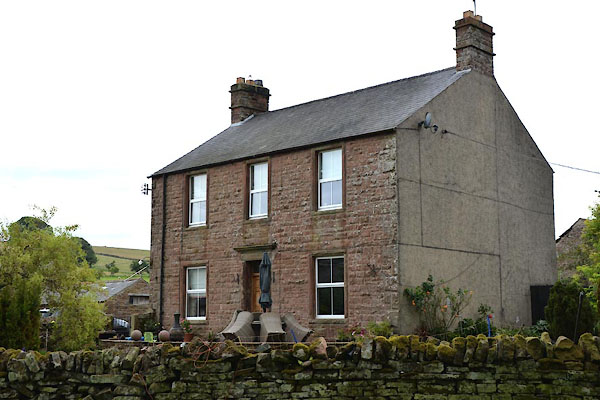 |
NY57174306 Scales Hall (Kirkoswald) |
|
|
 |
NY57454358 Scales Moor (Kirkoswald) |
|
|
 |
NY57734352 Scales Rigg (Kirkoswald) |
|
|
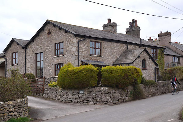 |
SD27077230 School House (Aldingham) |
|
|
 |
SD27067266 shed, Scales (Aldingham) L out of sight |
|
|
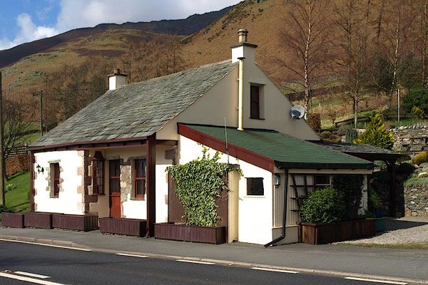 |
NY34052677 Toll Bar Cottage (Threlkeld) |
|
|
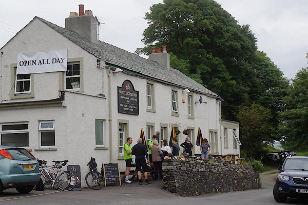 |
NY34282691 White Horse Inn (Threlkeld) |
|
|
 |
NY34112681 bridge, Scales (Threlkeld) suggested |
|


