 Old Cumbria Gazetteer
 |
 |
|
| Rossett Bridge, Great Langdale | ||
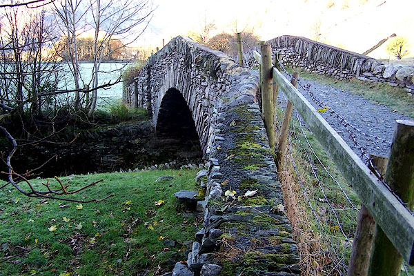
| Rossett Bridge | ||
| site name:- | Great Langdale Beck | |
| locality:- | Great Langdale | |
| civil parish:- | Lakes (formerly Westmorland) | |
| county:- | Cumbria | |
| locality type:- | bridge | |
| coordinates:- | NY29150610 | |
| 1Km square:- | NY2906 | |
| 10Km square:- | NY20 | |
|
|
||
 BJZ99.jpg (taken 17.11.2005) |
||
|
|
||
| evidence:- | old map:- OS County Series (Wmd 25 7) placename:- Rossett Bridge |
|
| source data:- | Maps, County Series maps of Great Britain, scales 6 and 25
inches to 1 mile, published by the Ordnance Survey, Southampton,
Hampshire, from about 1863 to 1948. |
|
|
|
||
| hearsay:- |
Old bridge, now just for the footpath. |
|
|
|
||
 Lakes Guides menu.