button to main menu  Old Cumbria Gazetteer
Renwick, Kirkoswald
Renwick
civil parish:-   Kirkoswald (formerly Cumberland)
county:-   Cumbria
locality type:-   locality
locality type:-   buildings
coordinates:-   NY59704354 (etc) 
1Km square:-   NY5943
10Km square:-   NY54


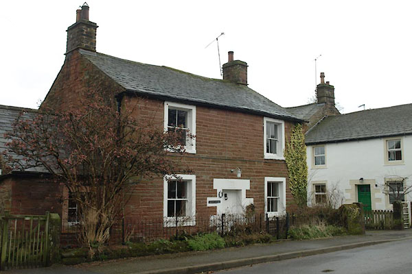
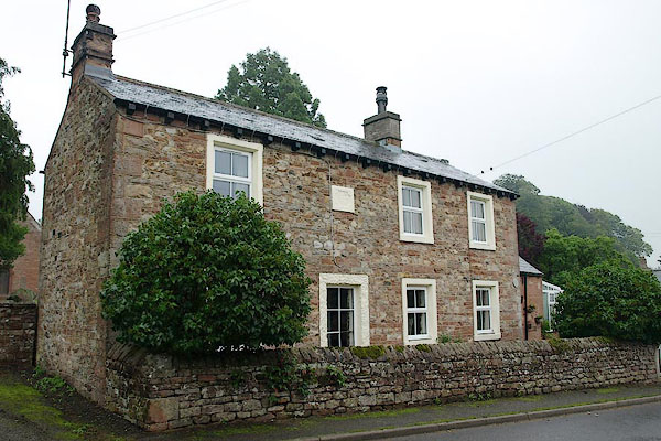
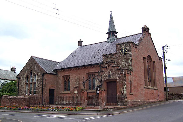
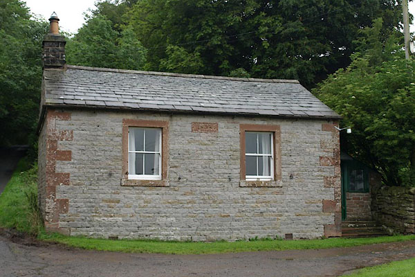
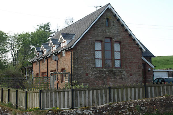
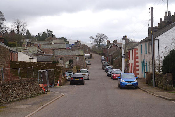
photograph
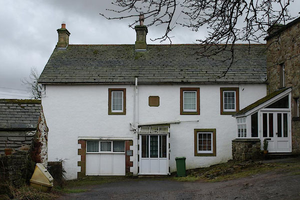
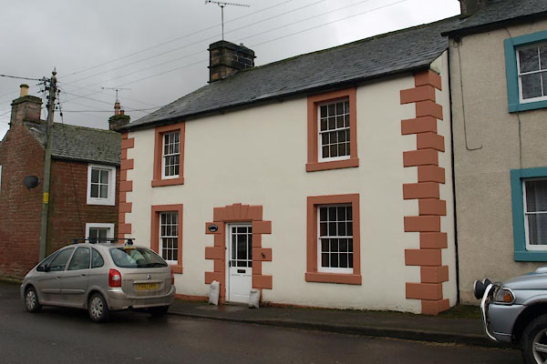
CCQ65.jpg (taken 20.3.2015)  

evidence:-   old map:- OS County Series (Cmd 40 4) 
placename:-  Renwick
source data:-   Maps, County Series maps of Great Britain, scales 6 and 25 inches to 1 mile, published by the Ordnance Survey, Southampton, Hampshire, from about 1863 to 1948.

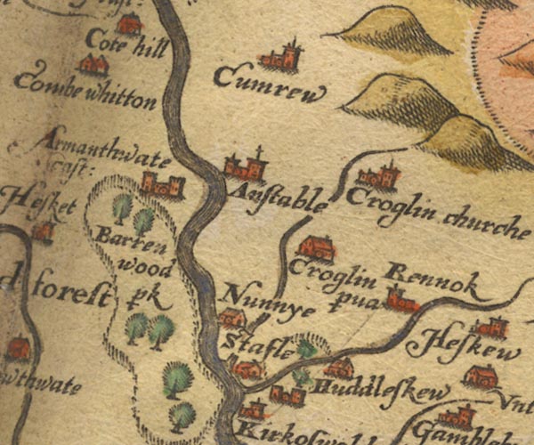
evidence:-   old map:- Saxton 1579
placename:-  Rennok
source data:-   Map, hand coloured engraving, Westmorlandiae et Cumberlandiae Comitatus ie Westmorland and Cumberland, scale about 5 miles to 1 inch, by Christopher Saxton, London, engraved by Augustinus Ryther, 1576, published 1579-1645.
image
Sax9NY54.jpg
Church, symbol for a parish or village, with a parish church.  "Rennok"
item:-  private collection : 2
Image © see bottom of page

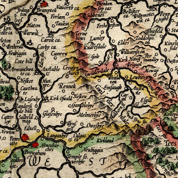
evidence:-   old map:- Mercator 1595 (edn?) 
placename:-  Rennok
source data:-   Map, hand coloured engraving, Northumbria, Cumberlandia, et Dunelmensis Episcopatus, ie Northumberland, Cumberland and Durham etc, scale about 6.5 miles to 1 inch, by Gerard Mercator, Duisberg, Germany, about 1595.
image
MER8CumD.jpg
"Rennok"
circle 
item:-  JandMN : 169
Image © see bottom of page

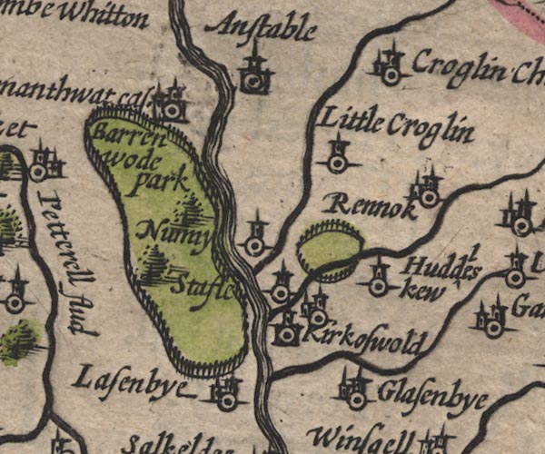
evidence:-   old map:- Speed 1611 (Cmd) 
placename:-  Rennok
source data:-   Map, hand coloured engraving, Cumberland and the Ancient Citie Carlile Described, scale about 4 miles to 1 inch, by John Speed, 1610, published by J Sudbury and George Humble, Popes Head Alley, London, 1611-12.
image
SP11NY54.jpg
"Rennok"
circle, tower 
item:-  private collection : 16
Image © see bottom of page

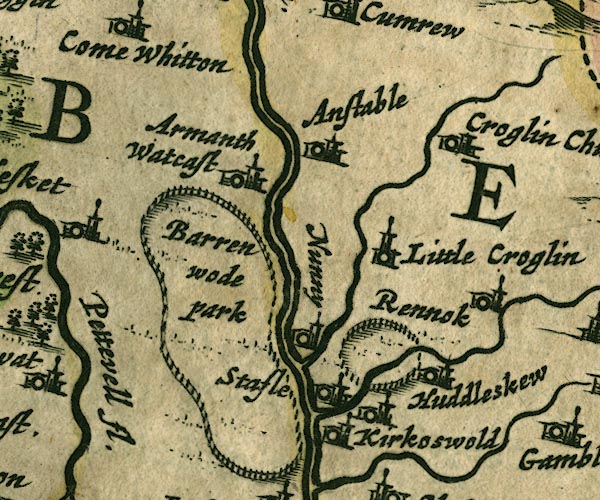
evidence:-   old map:- Jansson 1646
placename:-  Rennok
source data:-   Map, hand coloured engraving, Cumbria and Westmoria, ie Cumberland and Westmorland, scale about 3.5 miles to 1 inch, by John Jansson, Amsterdam, Netherlands, 1646.
image
JAN3NY54.jpg
"Rennok"
Buildings and tower. 
item:-  JandMN : 88
Image © see bottom of page

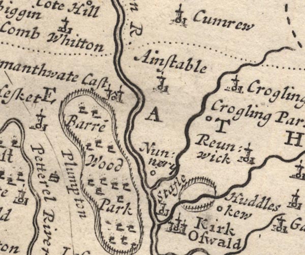
evidence:-   old map:- Morden 1695 (Cmd) 
placename:-  Reunwick
source data:-   Map, uncoloured engraving, Cumberland, scale about 4 miles to 1 inch, by Robert Morden, 1695, published by Abel Swale, the Unicorn, St Paul's Churchyard, Awnsham, and John Churchill, the Black Swan, Paternoster Row, London, 1695-1715.
image
MD12NY54.jpg
"Reunwick"
Circle, building and tower. 
item:-  JandMN : 90
Image © see bottom of page

evidence:-   old map:- Bowen and Kitchin 1760
placename:-  Rennock
placename:-  Reunwick
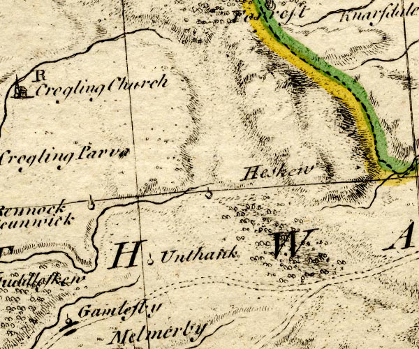
source data:-   Map, hand coloured engraving, A New Map of the Counties of Cumberland and Westmoreland Divided into their Respective Wards, scale about 4 miles to 1 inch, by Emanuel Bowen and Thomas Kitchin et al, published by T Bowles, Robert Sayer, and John Bowles, London, 1760.
image
BO18NY64.jpg
"Rennock or Reunwick"
circle, tower 
item:-  Armitt Library : 2008.14.10
Image © see bottom of page

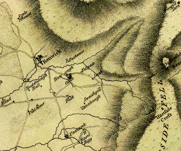
evidence:-   old map:- Donald 1774 (Cmd) 
placename:-  Renwick
source data:-   Map, hand coloured engraving, 3x2 sheets, The County of Cumberland, scale about 1 inch to 1 mile, by Thomas Donald, engraved and published by Joseph Hodskinson, 29 Arundel Street, Strand, London, 1774.
image
D4NY64SW.jpg
"Renwick"
blocks, and usually a church, labelled in upright lowercase; a village 
item:-  Carlisle Library : Map 2
Image © Carlisle Library

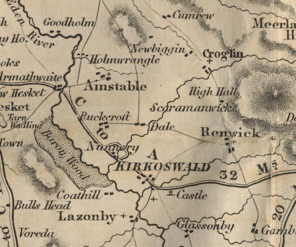
evidence:-   old map:- Ford 1839 map
placename:-  Renwick
source data:-   Map, uncoloured engraving, Map of the Lake District of Cumberland, Westmoreland and Lancashire, scale about 3.5 miles to 1 inch, published by Charles Thurnam, Carlisle, and by R Groombridge, 5 Paternoster Row, London, 3rd edn 1843.
image
FD02NY54.jpg
"Renwick"
item:-  JandMN : 100.1
Image © see bottom of page

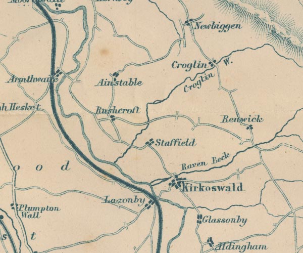
evidence:-   old map:- Garnett 1850s-60s H
placename:-  Renwick
source data:-   Map of the English Lakes, in Cumberland, Westmorland and Lancashire, scale about 3.5 miles to 1 inch, published by John Garnett, Windermere, Westmorland, 1850s-60s.
image
GAR2NY54.jpg
"Renwick"
blocks, settlement 
item:-  JandMN : 82.1
Image © see bottom of page
places:-  
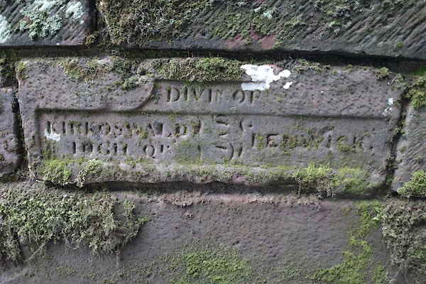
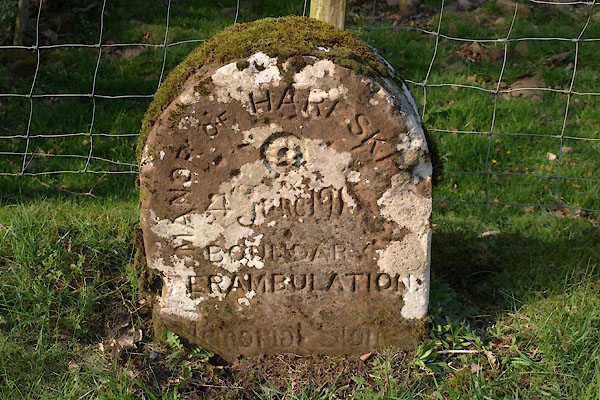
NY60224308 boundary stone, Kirkoswald (Kirkoswald) L
NY60194308 boundary stone, Kirkoswald (2) (Kirkoswald)
NY59674350 Castle House (Kirkoswald)
NY60064379 Fell Loaning (Kirkoswald)
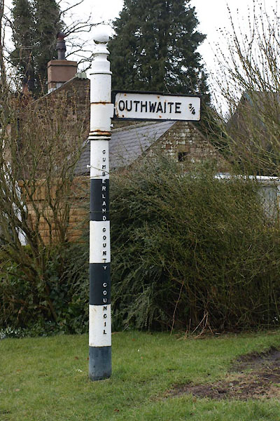
NY59694358 fingerpost, Renwick (Kirkoswald)
NY59544364 Gibson's Well (Kirkoswald)
NY5943 Harberry Beck (Kirkoswald)
NY59554338 Highland Spa (Kirkoswald)
NY59714350 Hollybank House (Kirkoswald) L
NY59754323 Kilnbank (Kirkoswald)
NY59734348 Lawson Cottage (Kirkoswald)
NY59664360 Lilac House (Kirkoswald)
NY59504350 pinfold, Renwick (Kirkoswald)
NY59714351 Queen's College Inn (Kirkoswald)
NY59684355 Renwick Methodist Church (Kirkoswald) L
NY59374267 Renwick Mill (Kirkoswald)
NY59684336 Wain Loaning (Kirkoswald)
NY59624358 Yetland Loaning (Kirkoswald)
NY59754360 Renwick School (Kirkoswald)
NY59634333 Renwick School (Kirkoswald)
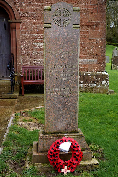
NY59714363 war memorial, Renwick (Kirkoswald)
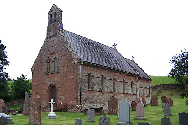
NY59724364 All Saints Church (Kirkoswald)
button to lakes menu  Lakes Guides menu.