Old Cumbria Gazetteer
 |
 |
|
||
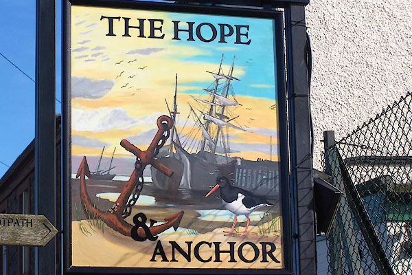
| Port Carlisle | ||||
| Knox Cross | ||||
| Fisher's Cross | ||||
| locality:- | Hadrian's Wall | |||
| civil parish:- | Bowness (formerly Cumberland) | |||
| county:- | Cumbria | |||
| locality type:- | locality | |||
| locality type:- | buildings | |||
| coordinates:- | NY24066218 (etc) | |||
| 1Km square:- | NY2462 | |||
| 10Km square:- | NY26 | |||
|
|
||||
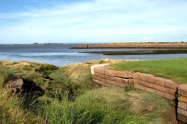
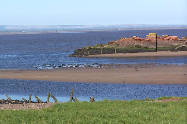
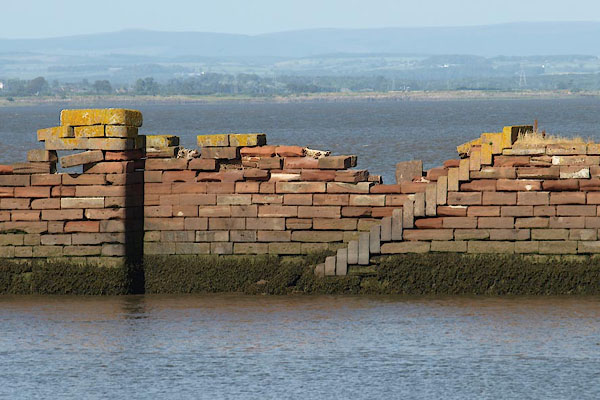 BYW96.jpg Not much left of the port ... (taken 27.7.2103) 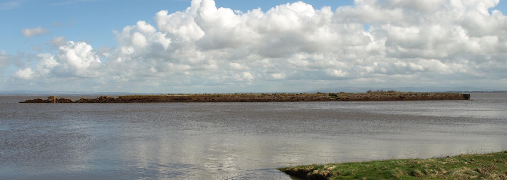 Click to enlarge BUH82.jpg Remains of the jetty. (taken 3.4.2011) |
||||
|
|
||||
| evidence:- | old map:- OS County Series (Cmd 15 5) placename:- Port Carlisle |
|||
| source data:- | Maps, County Series maps of Great Britain, scales 6 and 25
inches to 1 mile, published by the Ordnance Survey, Southampton,
Hampshire, from about 1863 to 1948. |
|||
|
|
||||
| evidence:- | old map:- Donald 1774 (Cmd) placename:- Fisher Cross |
|||
| source data:- | Map, hand coloured engraving, 3x2 sheets, The County of Cumberland, scale about 1
inch to 1 mile, by Thomas Donald, engraved and published by Joseph Hodskinson, 29
Arundel Street, Strand, London, 1774.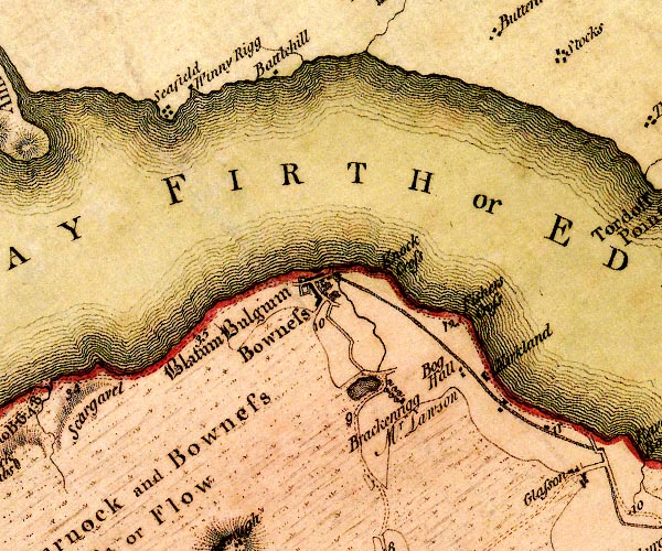 D4NY26SW.jpg "Fisher Cross" no symbol item:- Carlisle Library : Map 2 Image © Carlisle Library |
|||
|
|
||||
| evidence:- | old map:- Ford 1839 map placename:- Port Carlisle |
|||
| source data:- | Map, uncoloured engraving, Map of the Lake District of
Cumberland, Westmoreland and Lancashire, scale about 3.5 miles
to 1 inch, published by Charles Thurnam, Carlisle, and by R
Groombridge, 5 Paternoster Row, London, 3rd edn 1843.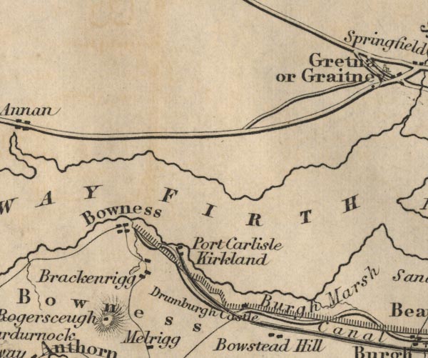 FD02NY26.jpg "Port Carlisle" item:- JandMN : 100.1 Image © see bottom of page |
|||
|
|
||||
| evidence:- | old map:- Garnett 1850s-60s H placename:- Port Carlisle |
|||
| source data:- | Map of the English Lakes, in Cumberland, Westmorland and
Lancashire, scale about 3.5 miles to 1 inch, published by John
Garnett, Windermere, Westmorland, 1850s-60s.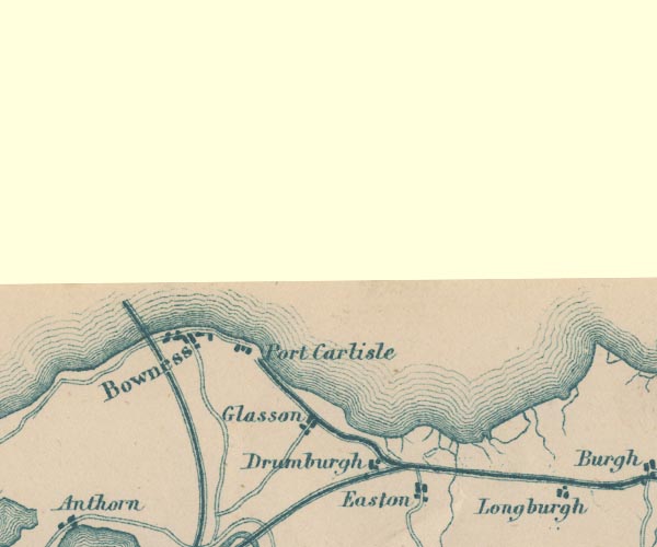 GAR2NY26.jpg "Port Carlisle" blocks, settlement item:- JandMN : 82.1 Image © see bottom of page |
|||
|
|
||||
| evidence:- | old directory:- Jollie 1811 item:- shipping |
|||
| source data:- | Guide book, Jollie's Cumberland Guide and Directory, bound with
Jollie's Sketch of Cumberland Manners and Customs, published by
Francis Jollie and Sons, Carlisle, Cumberland, 1811.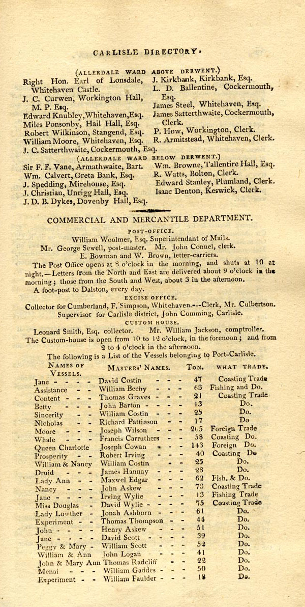 JL07Pr5.jpg item:- Armitt Library : A214 Image © see bottom of page |
|||
|
|
||||
| evidence:- | old map:- Post Office 1850s-1900s placename:- Port Carlisle |
|||
| source data:- | Post road maps, General Post Office Circulation Map for England
and Wales, for the General Post Office, London, 1850s-1900s. click to enlarge click to enlargePOF7Cm.jpg "Port Carlisle" map date 1909 |
|||
|
|
||||
| :- |
images courtesy of the British Postal Museum and Hampshire CC Museums |
|||
|
|
||||
| evidence:- | old print:- |
|||
| source data:- | Print, The Old Dock, Port Carlisle, Bowness, Cumberland, by J E Rowe, 1900s-10s.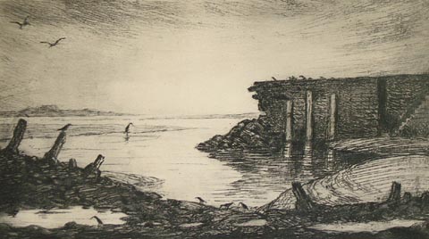 click to enlarge click to enlargePR1362.jpg inscribed at bottom right:- "J E Rowe" item:- Tullie House Museum : 2004.204 Image © Tullie House Museum |
|||
|
|
||||
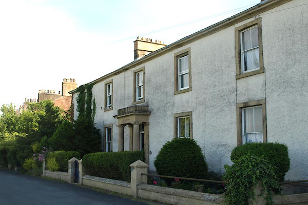
 BMB12.jpg (taken 5.5.2006) |
||||
|
|
||||
| places:- |
|
|||
|
||||
|
||||
|
||||
|
||||
|
||||
|
||||
|
||||
|
||||
|
||||
|
||||
|
||||
|
||||
|
||||
|
||||
|
||||
|
||||
 Lakes Guides menu.