 |
 |
|
|
|
|
|
| civil parish:- |
Lindal and Marton (formerly Lancashire) |
| county:- |
Cumbria |
| locality type:- |
river |
| 1Km square:- |
SD2376 (etc) |
| 10Km square:- |
SD27 |
|
|
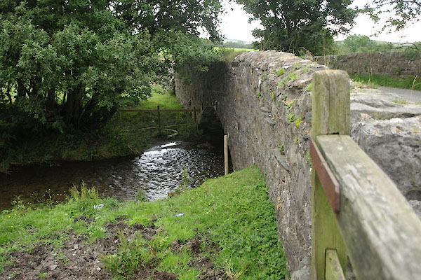
| evidence:- |
old map:- OS County Series (Lan 16 9)
placename:- Poaka Beck
|
| source data:- |
Maps, County Series maps of Great Britain, scales 6 and 25
inches to 1 mile, published by the Ordnance Survey, Southampton,
Hampshire, from about 1863 to 1948.
|
|
|
| evidence:- |
old map:- West 1784 map
|
| source data:- |
Map, hand coloured engraving, A Map of the Lakes in Cumberland,
Westmorland and Lancashire, scale about 3.5 miles to 1 inch,
engraved by Paas, 53 Holborn, London, about 1784.
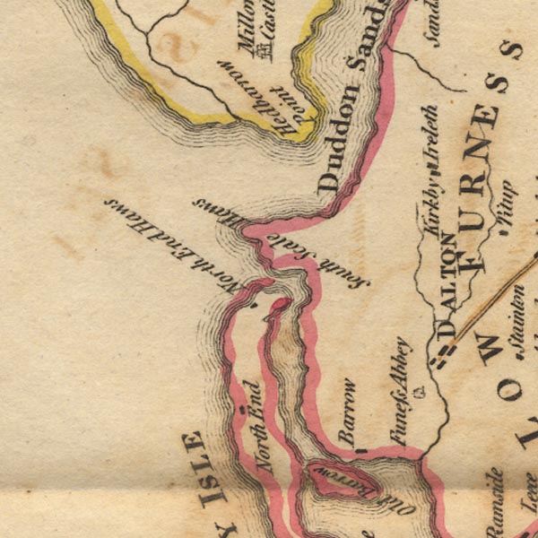
Ws02SD17.jpg
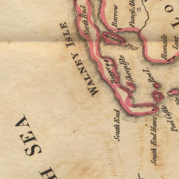
Ws02SD16.jpg
item:- Armitt Library : A1221.1
Image © see bottom of page
|
|
|
| places:- |
 |
SD26107735 Beck Side Bridge (Pennington) |
|
|
|
SD22717389 Bow Bridge (Dalton Town with Newton) |
|
|
|
SD23277443 Butts Bridge (Dalton Town with Newton) |
|
|
 |
SD27017766 Low Greaves Bridge (Pennington) |
|
|
|
SD23367417 Yarl Bridge (Dalton Town with Newton) |
|
