 Old Cumbria Gazetteer
 |
 |
|
| Plumpton West Junction, Egton with Newland | ||
| Plumpton West Junction | ||
| Plumpton Junction | ||
| site name:- | Ulverstone and Lancaster Railway | |
| site name:- | Conishead Priory branch railway | |
| civil parish:- | Egton with Newland (formerly Lancashire) | |
| county:- | Cumbria | |
| locality type:- | railway junction | |
| coordinates:- | SD30757883 (about) | |
| 1Km square:- | SD3078 | |
| 10Km square:- | SD37 | |
|
|
||
| evidence:- | old map:- OS County Series (Lan 16 4) placename:- Plumptom Junction item:- railway signal |
|
| source data:- | Maps, County Series maps of Great Britain, scales 6 and 25
inches to 1 mile, published by the Ordnance Survey, Southampton,
Hampshire, from about 1863 to 1948.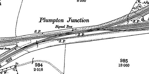 click to enlarge click to enlargeCSRY0149.jpg "Plumpton Junction / Signal Box / S.P." |
|
|
|
||
 Lakes Guides menu.