 |
 |
|
|
|
|
Parkend |
| civil parish:- |
Caldbeck (formerly Cumberland) |
| county:- |
Cumbria |
| locality type:- |
locality |
| locality type:- |
buildings |
| coordinates:- |
NY30093889 (etc) |
| 1Km square:- |
NY3038 |
| 10Km square:- |
NY33 |
|
|
| evidence:- |
old map:- OS County Series (Cmd 37 15)
placename:- Parkend
|
| source data:- |
Maps, County Series maps of Great Britain, scales 6 and 25
inches to 1 mile, published by the Ordnance Survey, Southampton,
Hampshire, from about 1863 to 1948.
|
|
|
|
personal |
| person:- |
huntsman
: Peel, John
|
| place:- |
birthplace |
|
| places:- |
 |
NY30033888 Parkend Bridge (Caldbeck) |
|
|
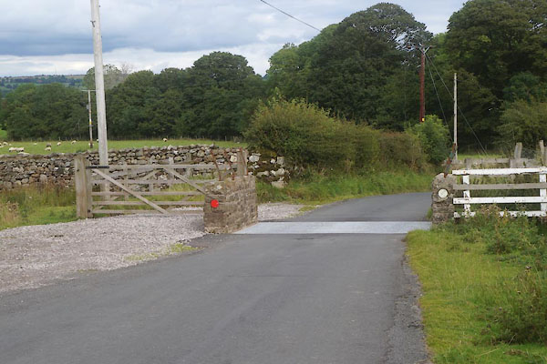 |
NY29943888 Pikeless Gate (Caldbeck) |
|
|
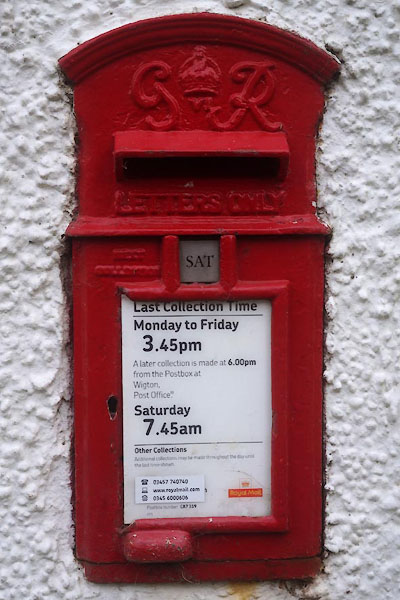 |
NY30053887 post box, Parkend (Caldbeck) |
|
