


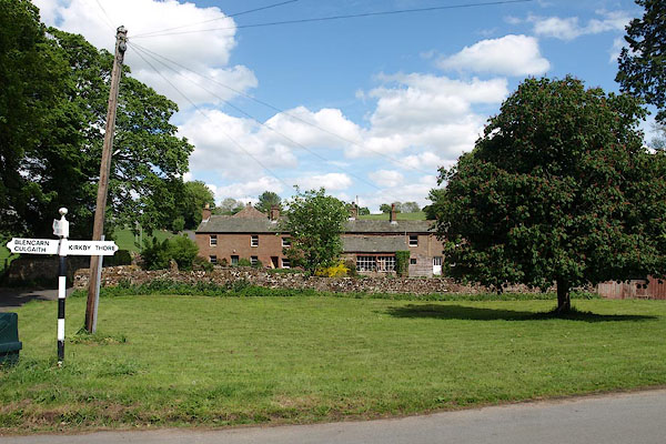
BSV49.jpg (taken 2.6.2010)
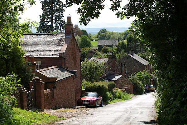
BSV46.jpg (taken 2.6.2010)
placename:- Newbiggin
placename:- Newbiggin
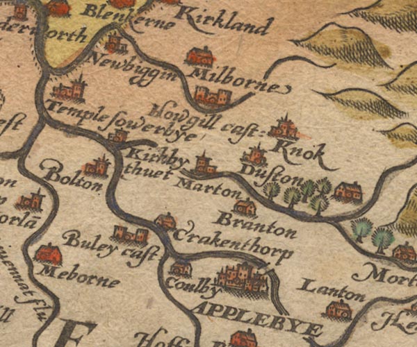
Sax9NY62.jpg
Church, symbol for a parish or village, with a parish church. "Newbiggin"
item:- private collection : 2
Image © see bottom of page
placename:- Newbiggin
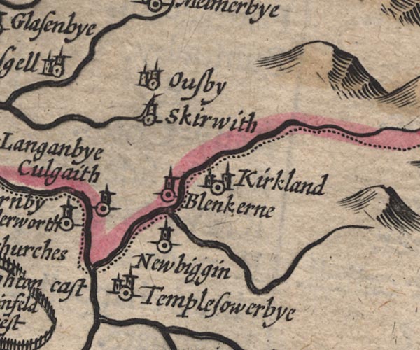
SP11NY63.jpg
"Newbiggin"
circle, tower; Westmorland
item:- private collection : 16
Image © see bottom of page
placename:- Newbiggin
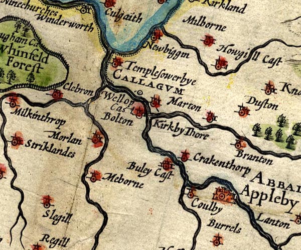
SP14NY62.jpg
"Newbiggin"
circle, building and tower
item:- Armitt Library : 2008.14.5
Image © see bottom of page
placename:- Newbiggen
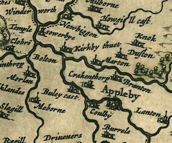
JAN3NY62.jpg
"Newbiggen"
Buildings and tower.
item:- JandMN : 88
Image © see bottom of page
placename:- Newbiggin
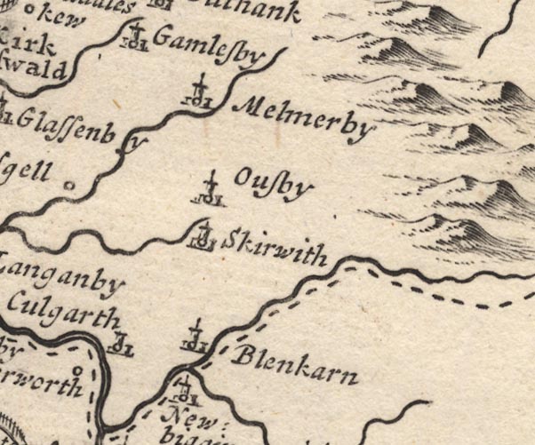
MD12NY63.jpg
"Newbiggin"
Circle, building and tower.
item:- JandMN : 90
Image © see bottom of page
placename:- Newbiggin
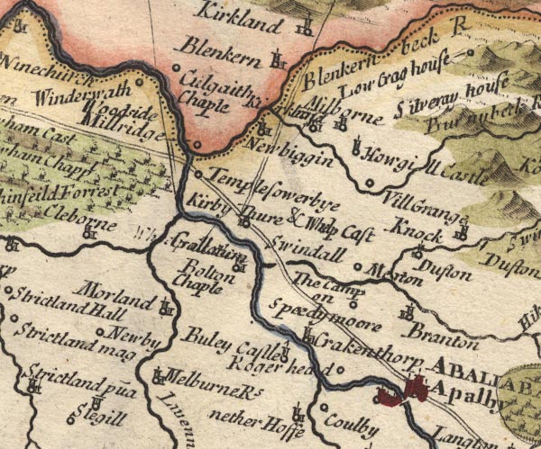
MD10NY62.jpg
"Newbiggin"
Circle, building and tower.
item:- JandMN : 24
Image © see bottom of page
placename:- Newbiggin
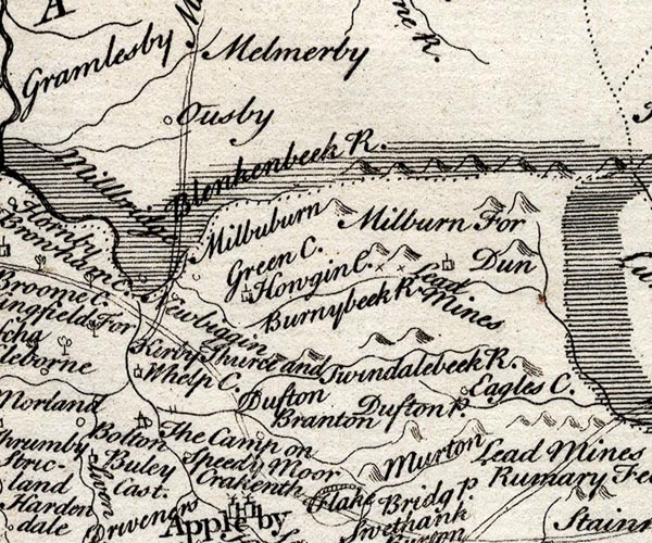
SMP2NYR.jpg
"Newbiggin"
Circle.
item:- Dove Cottage : 2007.38.59
Image © see bottom of page
placename:- Newbiggin
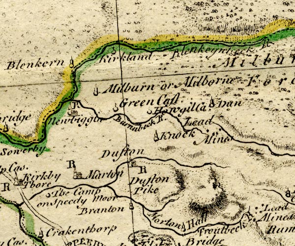
BO18NY62.jpg
"Newbiggin / R"
circle, building and tower, rectory
item:- Armitt Library : 2008.14.10
Image © see bottom of page
placename:- New Biggin
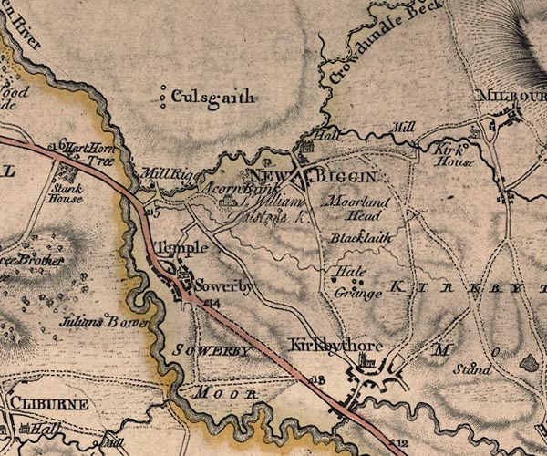
J5NY62NW.jpg
"NEW BIGGIN"
blocks, labelled in block caps; village or parish?
item:- National Library of Scotland : EME.s.47
Image © National Library of Scotland
placename:- New Biggin
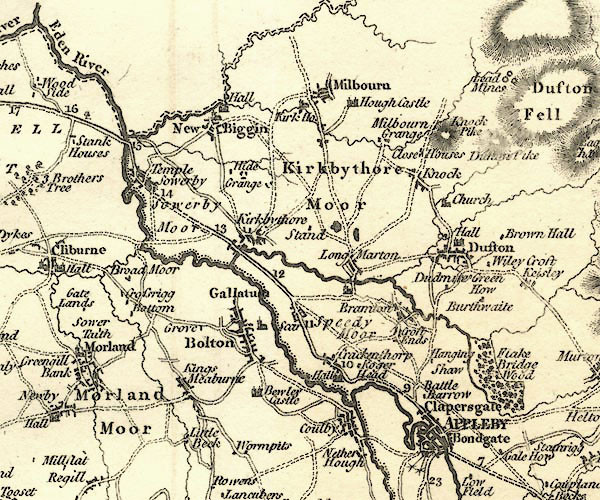
CY24NY62.jpg
"New Biggin"
blocks, church symbol, labelled in upright lowercase; village
item:- JandMN : 129
Image © see bottom of page
placename:- New Biggen
 click to enlarge
COP4.jpg
"New Biggen"
circle; village or hamlet
item:- Dove Cottage : 2007.38.53
Image © see bottom of page
placename:- Newbiggin
 click to enlarge
HA18.jpg
"Newbiggin"
circle, italic lowercase text; settlement
item:- Armitt Library : 2008.14.58
Image © see bottom of page
placename:- Newbiggin
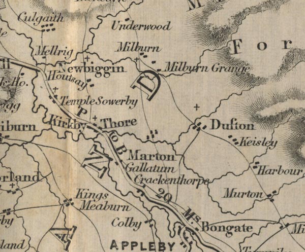
FD02NY62.jpg
"Newbiggin"
item:- JandMN : 100.1
Image © see bottom of page
placename:- Newbiggen
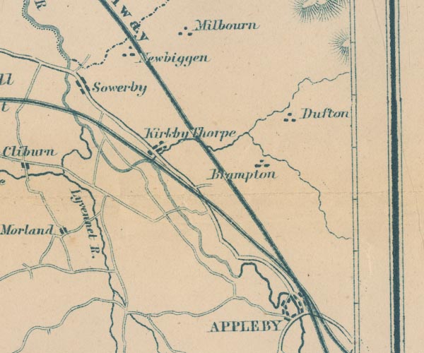
GAR2NY62.jpg
"Newbiggen"
blocks, settlement
item:- JandMN : 82.1
Image © see bottom of page
placename:- Newbiggin
 click to enlarge
POF7Cm.jpg
"Newbiggin"
map date 1909
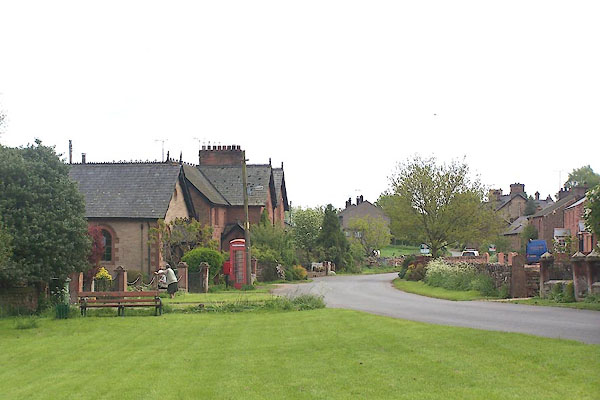
BMF01.jpg (taken 1.6.2006)
 |
NY62732864 Andersley (Newbiggin) |
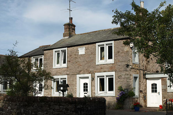 |
NY46682980 Bank House (Dacre) |
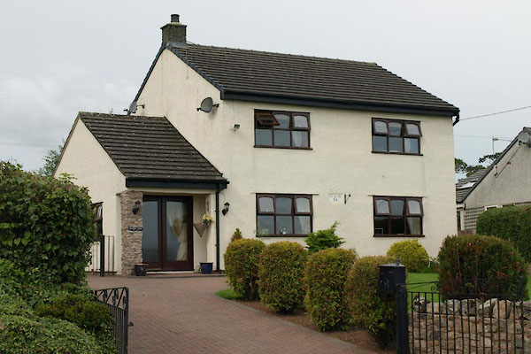 |
NY46982926 Beacon View (Dacre) |
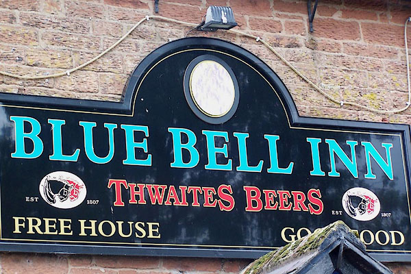 |
NY55764911 Blue Bell Inn (Ainstable) |
 |
NY628282 Boazman's Siding (Newbiggin) |
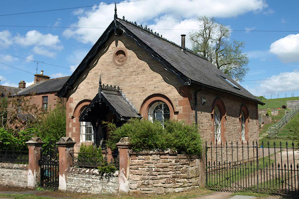 |
NY62862843 chapel, Newbiggin (Newbiggin) L |
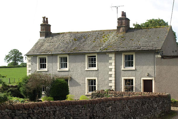 |
NY47182885 Fauldhead (Dacre) |
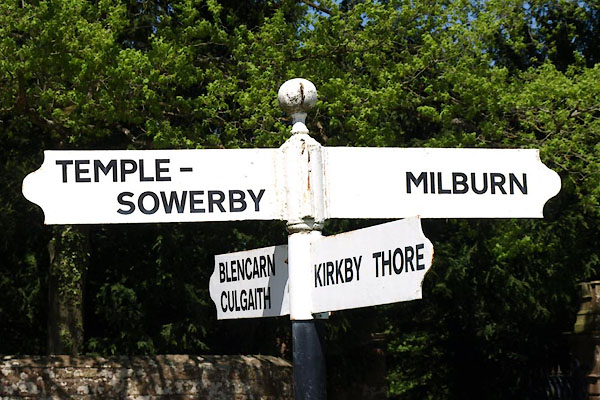 |
NY62822853 fingerpost, Newbiggin (2) (Newbiggin) |
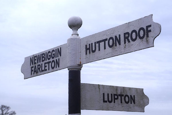 |
SD55937975 fingerpost, Newbiggin (4) (Hutton Roof) |
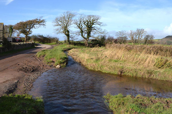 |
SD09559411 ford, Waberthwaite (2) (Waberthwaite) |
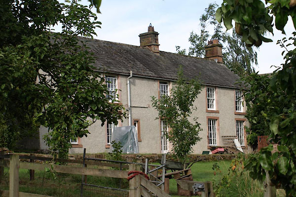 |
NY46842953 Hill, The (Dacre) L |
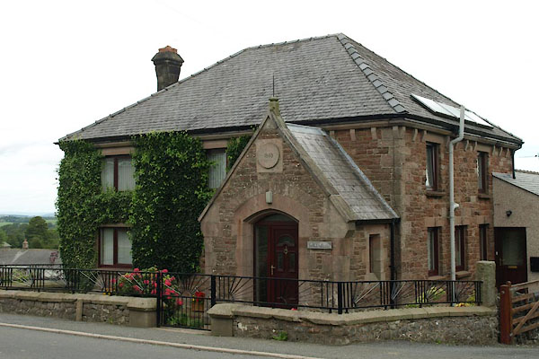 |
NY46942944 Home Garth (Dacre) |
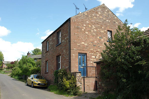 |
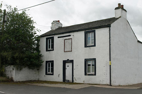
NY62892855 house, Newbiggin (Newbiggin) |
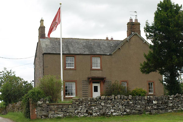 |
NY47102904 house, Newbiggin (2) (Dacre) |
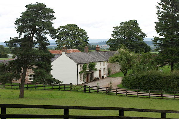 |
NY46882973 house, Newbiggin (3) (Dacre) |
 |
NY43415095 icehouse, Newbiggin Hall (St Cuthbert Without) L |
 |
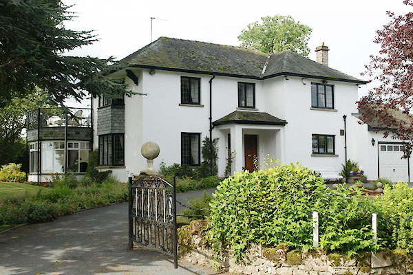
NY47112897 Joiners Arms (Dacre) |
 |
SD55597962 limekiln, Hutton Roof (Hutton Roof) |
 |
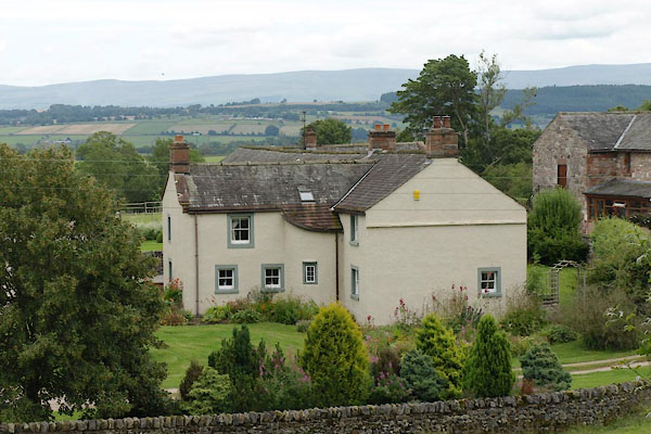
NY47252877 Little Acre (Dacre) |
 |
NY46942968 Manor House (Dacre) |
 |
NY63102901 mill, Newbiggin (Newbiggin) once |
 |
NY5549 Newbiggin Beck river |
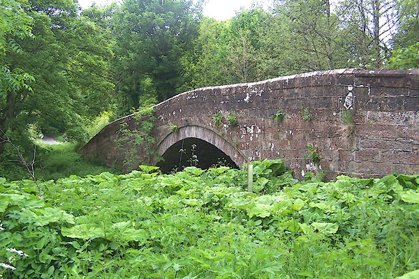 |
NY62722871 Newbiggin Bridge (Newbiggin) L |
 |
NY43505130 Newbiggin Bridge (St Cuthbert Without) |
 |
SD55677975 Newbiggin Farm (Hutton Roof) |
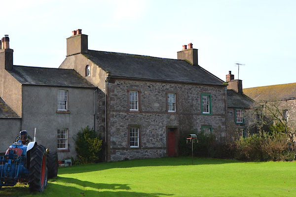 |
SD09499409 Newbiggin Farm (Waberthwaite) L |
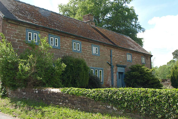 |
NY62792853 Newbiggin Hall Farm (Newbiggin) L |
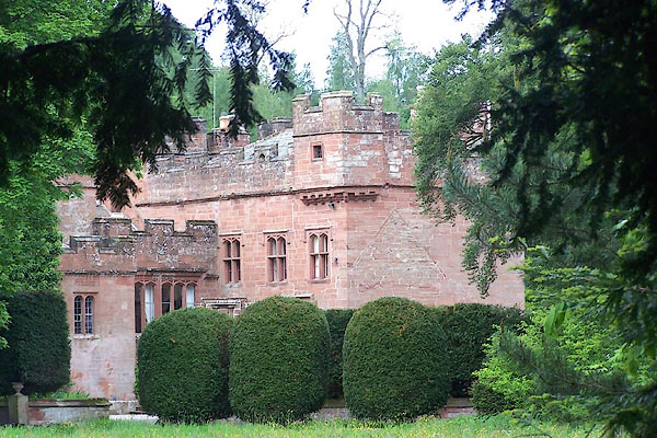 |
NY62802868 Newbiggin Hall (Newbiggin) L |
 |
NY43315086 Newbiggin Hall (St Cuthbert Without) L out of sight |
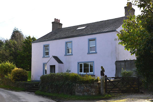 |
SD09579405 Newbiggin House (Waberthwaite) |
 |
SD55487993 Newbiggin Old Hall (Hutton Roof) |
 |
SD26936908 Newbiggin Scar (Aldingham) |
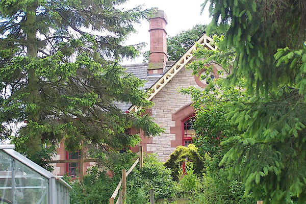 |
NY628282 New Biggin Station (Newbiggin) |
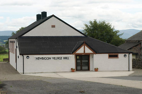 |
NY47062929 Newbiggin Village Hall (Dacre) |
 |
NY46982922 Oak Bank (Dacre) L not found |
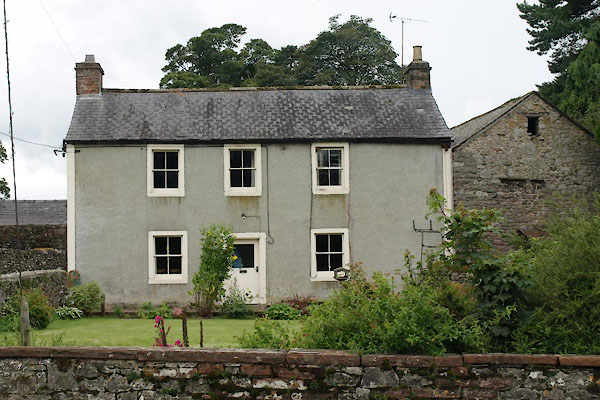 |
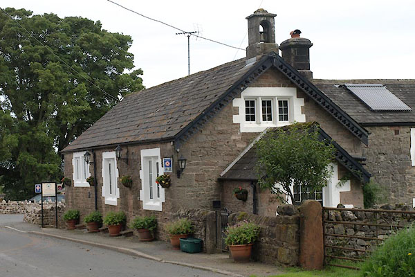
NY47052905 Old Post Office (Dacre) |
 |
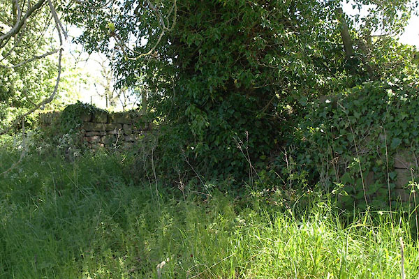
NY47052913 Old School, The (Dacre) |
 |
NY63052863 pinfold, Newbiggin (Newbiggin) gone |
 |
NY47092904 pinfold, Newbiggin (2) (Dacre) |
 |
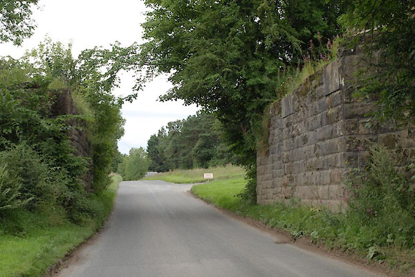
NY46423014 quarry, Dacre (Dacre) |
 |
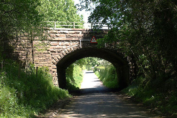
NY46553035 railway bridge, Newbiggin (2) (Dacre) |
 |
NY62532832 railway bridge, Newbiggin (3) (Newbiggin) |
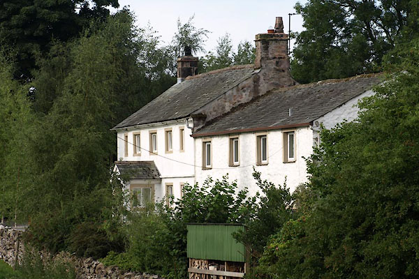 |
NY47072888 Sunbeam House (Dacre) L |
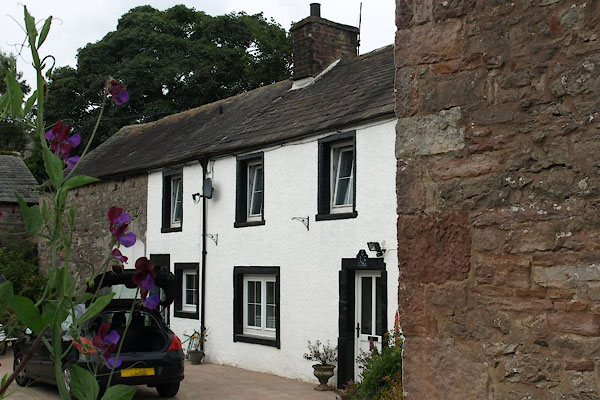 |
NY47132894 Sycamore Cottage (Dacre) |
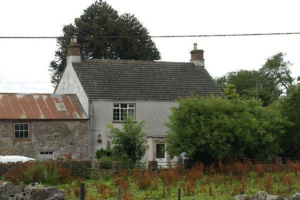 |
NY47062925 Sycamore View (Dacre) |
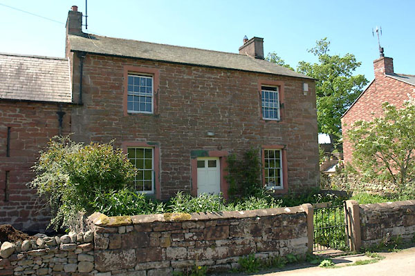 |
NY62892832 Town Head Farm (Newbiggin) L |
 |
NY56284908 Townhead (Ainstable) L out of sight |
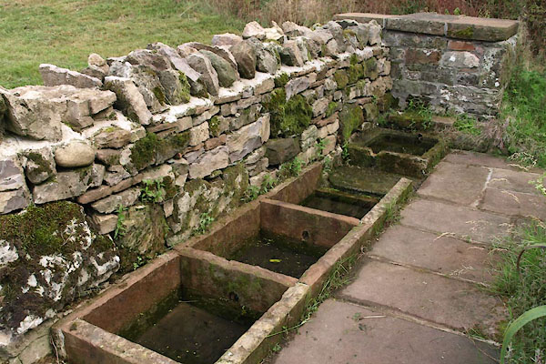 |
NY47162891 Newbiggin Wells (Dacre) |
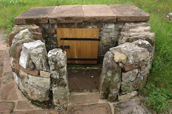 |
NY47132902 Newbiggin Wells (Dacre) |
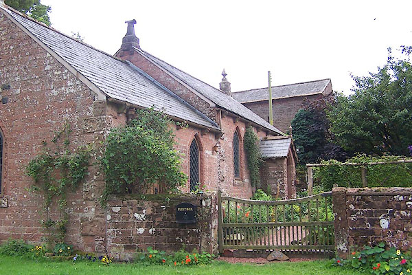 |
NY55944910 Newbiggin Wesleyan Chapel (Ainstable) |
 |
SD55387934 Whin Yeats (Hutton Roof) |
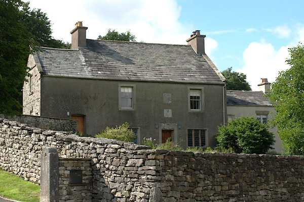 |
SD55597964 Manor Farm (Hutton Roof) L |
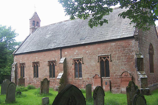 |
NY62772866 St Edmund's Church (Newbiggin) L |
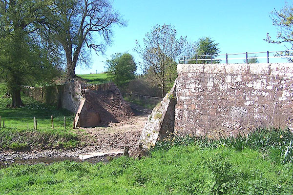 |
NY43525129 Newbiggin Old Bridge, St Cuthbert Without (St Cuthbert Without) |
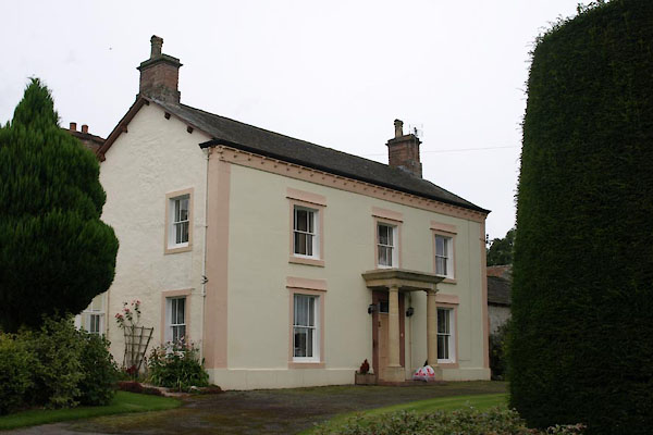 |
NY47042911 Newbiggin House (Dacre) |
